Yosemite fires update: Washburn Fire slightly shrinks, Agua Fire containment holding steady
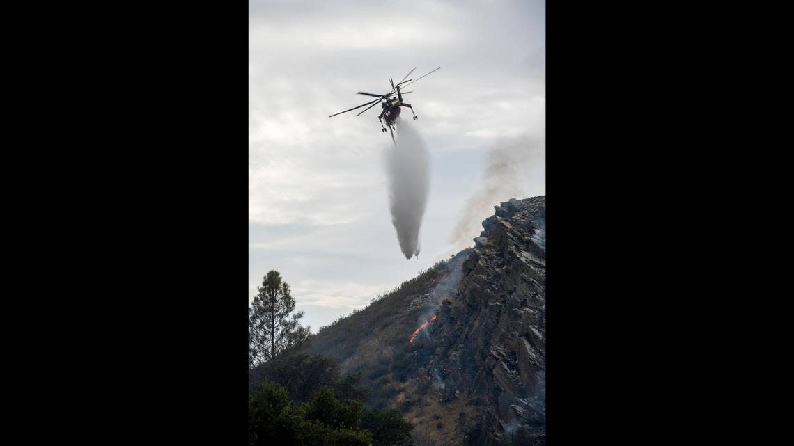
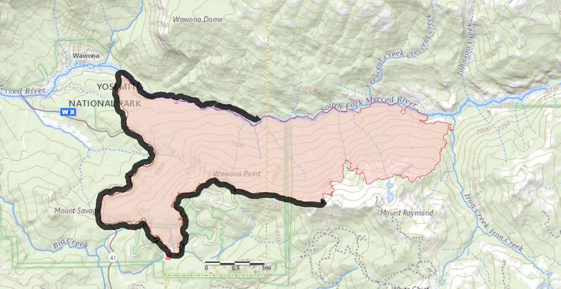
After a dozen days of the Washburn Fire in Yosemite National Park, fire crews have been holding steady on containment, according to the latest from Cal Fire.
The fire in the Sierra National Forest that has been a threat to the forest’s protected giant sequoias has held at 58% contained for multiple days, Cal Fire said in a Thursday morning update.
Firefighters have also for a second day in a row whittled down the estimated acreage burned by the Washburn Fire, which was described as 4,856 acres in the latest update. That’s seven fewer acres than reported the previous day.
The estimated reduction was the result of more accurate mapping of the fire, the National Interagency Fire Center reported.
Fire crews continue to work toward better containment on the eastern end of the fire in an effort to mimic the success seen on the other end as described by Sarah Platt, a firefighter and public information officer for Yosemite Fire and Aviation Management.
“The line that the firefighters have been digging, trying to hold and dig, is doing pretty much what we want it to do on the west side of the fire,” she said in a Facebook video.
Crews have set up a contingency line around Mount Raymond while other firefighters are digging a line around Iron Creek drainage to get control of the eastern side of the fire, Cal Fire said.
Crews and Yosemite road personnel will also begin on Thursday to clean up debris in the roadway on the eastern end of the fire in an effort to be ready to open up closed highways as soon as possible, according to Matt Ahearn, deputy operations chief with the state’s Interagency Incident Management Team that is managing the firefighting effort.
The forest is of course full of trees, but that includes many dead trees killed by drought and the 2016 infestation of beetles that led to a large amount of fallen trees, according to Cal Fire. Dead trees can fuel the fire.
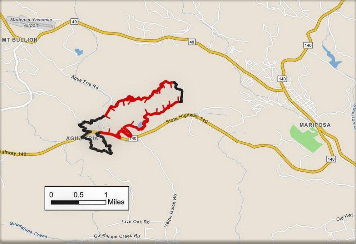
The Agua Fire in Mariposa County
The smaller fire burning in Mariposa County, dubbed the Agua Fire, is about 70% contained with 421 acres burned, Cal Fire said Thursday.
The early morning update said there was little activity overnight, while crews continued to mop up hot spots and reinforce control lines of the fore that began on Monday.
That fire began after flames broke out in a car off of Highway 140 and Agua Fria Road, about three miles west of the city of Mariposa, Cal Fire said.