New York's new Geographic Information Officer: A local takes the helm
The New York State Office of Information Technology Services (ITS) declared Elisabetta “Lis” DeGironimo, a state geographic information systems employee, as its new geographic information officer.
DeGironimo resides in southern Herkimer County with her husband Michael and two adult children. As GIO, she will lead the state’s Geospatial Services Office.
According to a statement, DeGironimo has been with the state’s technology division since 2022, serving as office director, and contributing to the expansion of the department’s purview.

“We are pleased to have Lis DeGironimo leading our Geospatial Services team and using her talent and experience to provide exceptional value to the Chief Data Office and ITS, as well as the businesses, taxpayers, and residents of New York State,” state Chief Information Officer Dru Rai said in a statement.
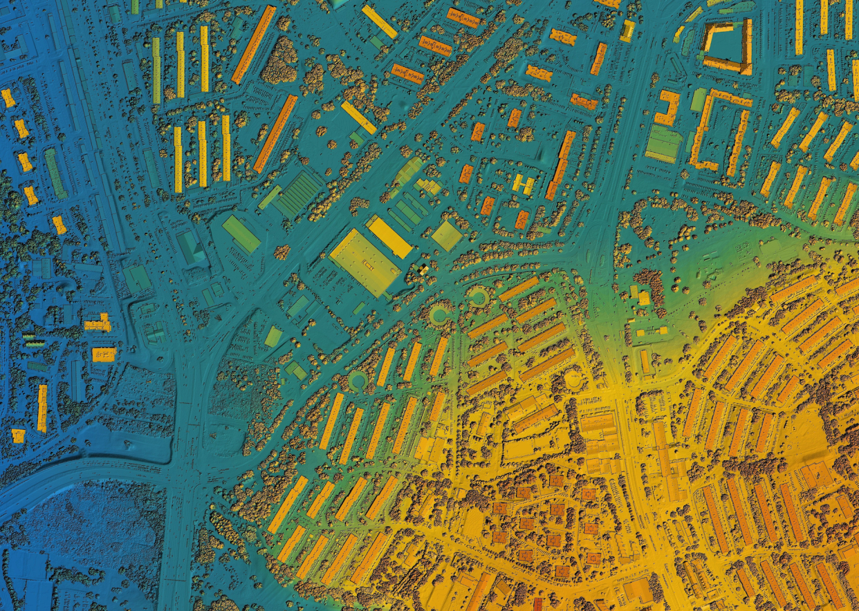
NY ITS
NYS ITS provides statewide framework data layers (streets, addresses, orthoimagery, elevation, boundaries), and works with other agencies to increase access to data. The office publishes a website that helps users locate information on state certified business enterprises, posted bridges, material suppliers, bike routes, and traffic data.
During the COVID-19 pandemic, the ITS Geospatial Services Office generated the first COVID maps in the nation which helped identify underserved and at-risk communities, as well as small businesses eligible for economic relief, state officials said.
Get to know Lis
DeGironimo holds a Bachelor of Landscape Architecture and a Master of Science degree in Natural Resources Management, both from SUNY Environmental Science and Forestry at Syracuse University. With more than 30 years of experience in GIS she has worked on projects domestically and internationally in Venezuela, Egypt, El Salvador, Mexico and Canada.
Prior to joining ITS, DeGironimo served as watershed and GIS coordinator for the Mohawk Valley Water Authority (MVWA) in Utica.
She currently serves as a board member of the GIS Certification Institute, represents NYS on the National States Geographic Information Council and is an adjunct instructor at SUNY Polytechnic.
DeGironimo will continue her position as executive director of the state’s Geospatial Advisory Council, a group that provides guidance on how to improve the delivery of public services, protect the public and the environment and enhance the “business climate” through the use of mapping technologies.
This article originally appeared on Observer-Dispatch: New York's new GIO Lis DiGironimo is a Herkimer County resident
