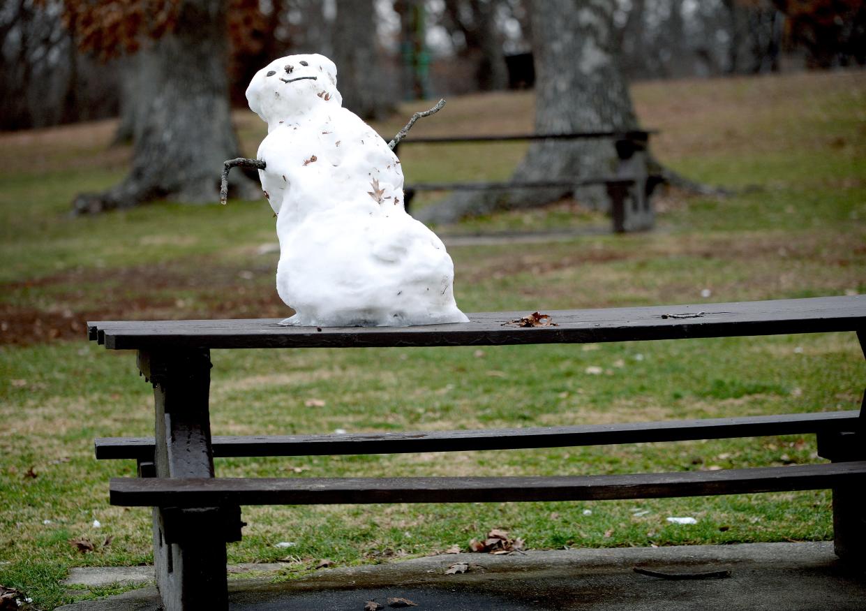
Winter weather advisory in effect for Cass, Menard, Logan counties; cold to return Friday
Areas north of Springfield are under a winter weather advisory, with snow expected Thursday night and another cold snap expected going into the weekend.
The National Weather Service in Lincoln said that the advisory would go into effect at 6 p.m. Thursday, with Logan, Menard, and Cass counties among those impacted. Places like Lincoln and Beardstown are expected to receive 1-2 inches of snow, with 35 mph winds causing the potential for blowing and drifting across the region.
John Bumgardner, a meteorologist at NWS, said that snowfall was the key to having those northern counties receive an advisory, with places like Sangamon and Christian counties getting less snow and having less of it on the ground than those places.
More: How some superintendents decide on closing schools or E-learning days in bad weather
"It comes down to snow amounts," Bumgardner said. "They also have more snow on the ground up north, so they have more to start with. When the winds pick up overnight tonight, it could cause some blowing and drifting, especially of the newly fallen snow. It's possible that some of that older stuff is fine and powdery enough (that) it could break off and float around."
Springfield could have anything from a trace amount of snow to up to 2 inches Thursday night, with snowfall expected to begin as early as 8 p.m.
"There's going to be a longer duration of snow to our north," Bumgardner said. "(For) Springfield, the latest round of models doesn't have the snow starting until between 8 p.m. and midnight, but further north, it could be starting at 5-6 p.m."
Providing the snow to central Illinois is an upper-level disturbance in northern Illinois that will be displaced to the north of Springfield, with that area getting the brunt of the snowfall.
"We've got an upper-level disturbance that's going to be pulling across northern Illinois late this evening into tomorrow," Bumgardner said. "That's where most of the snow is going to be."
Getting frigid, again
After the snow leaves town, another period of cold weather will emerge Friday and Saturday, with wind chills expected to dip into the mid-teens below zero for most of central Illinois.
Springfield, for instance, could see wind chills drop to 15 below zero early Saturday morning, with highs only reaching into the low-to-mid-teens on both days.
Bumgardner says that a cold front coming from the eastern Great Lakes and the northern and central Great Plains will come through early Friday morning, with surface high pressure coming in from Canada helping to contribute to the cold temperatures. Thankfully, he says that after this cold front moves through, there won't be anything like this for a little while.
"We will have drained the supply of Arctic air to our north," Bumgardner said.
A warm-up – but with the potential for ice
Temperatures across the area will begin to warm up on Sunday, moving into the 20s before going above freezing on Monday.
However, those warmer temperatures will come with rain for the early part of next week, with Bumgardner saying that a southwest flow of air will bring with it moisture from the Gulf of Mexico and a surface low coming in late Monday that could provide even a little bit of freezing rain to the area.
"Right now, we're not anticipating a huge ice storm with just a few hundredths of an inch of ice accumulation in the forecast," Bumgardner said. "With all the salt on the roads, we don't expect that to be terrible."
Still, Bumgardner said that people need to be on the lookout for possibly slick conditions Monday into Tuesday morning before things warm up and normal rain takes over.
"We could have a glaze of ice, especially on sidewalks, Monday evening into Monday night before we transition to all rain," Bumgardner said.
Trying to keep warm
Bumgardner recommends that people should take a little bit of extra time in the morning to get to work or get around town, with the blowing and drifting snow causing problems with visibility.
As for cold conditions, Bumgardner said that with below-zero wind chills bringing the potential for frostbite, people should keep themselves warm by dressing in layers, keeping an extra coat handy, and having an extra blanket in case of getting stuck in a vehicle.
For Springfield, the city's warming centers will be in operation for those needing a place to keep warm. They are as follows:
Municipal Center East (800 East Monroe Street): Open Monday-Friday, 8 a.m.-5 p.m.
Municipal Center West (300 South 7th Street): Open Monday-Friday, 8 a.m.-5 p.m.
Lincoln Library (326 South 7th Street): Open Monday-Wednesday, 10 a.m.-8 p.m., Thursday-Saturday, 10 a.m.-5 p.m. and Sunday, 1-5 p.m.
Office of Community Relations (1450 Groth Street): Open Monday-Friday, 8 a.m.-4:30 p.m.
Helping Hands (2200 Shale Street): Overnight shelter open daily, 5 p.m.-7 a.m.; warming center open 24 hours; day services available daily from 8 a.m.-4 p.m.
More: Helping Hands shows off new headquarters during ribbon cutting
Salvation Army Main Campus (1600 Clearlake Avenue): Open Monday-Friday, 9 a.m.-4 p.m.
Washington Street Mission (408 North 4th Street): Open Monday-Friday, 7:30-10:30 a.m. and 12:30-4:30 p.m.; Saturday 8-10 a.m. Closed on Thanksgiving Day, Black Friday, Christmas Eve, Christmas Day and New Year's Eve.
St. John's Breadline (430 North 5th Street): Open Monday-Friday, 8-9 a.m. and 10:30 a.m.-1:30 p.m.; weekends and holidays, 10:30 a.m.-1:30 p.m.
People who find anyone out in the cold are asked to contact Helping Hands in order to help get them some place warm. More information can be found by calling the shelter at (217) 522-0048, extension 150.
This article originally appeared on State Journal-Register: Cold temperatures return Friday as winter weather strikes again
