Winter storm surprises Kansas City, blanketing metro. Here’s some early snow totals
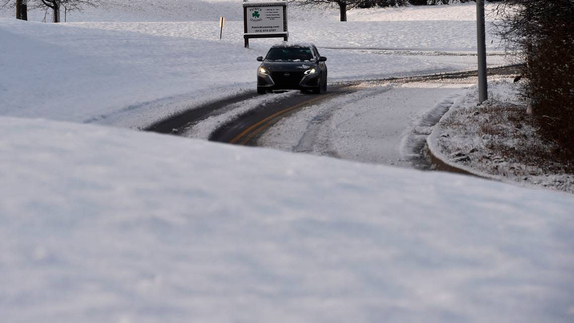
The heaviest of the snowfall from a winter storm that surprised Kansas City Thursday morning is starting to move east of the immediate metro area, leaving behind slippery roads and highways.
As of 6 a.m., 2.7 inches of snow had fallen at Kansas City International Airport. Meanwhile, Johnson and Wyandotte counties had between 2 and 3 inches of snow and Jackson and Clay counties had 1 to 2 inches, according to the National Weather Service in Kansas City.
The snow was falling so heavy, Kansas City International Airport had to shut down its airfield for about a half hour so that crews could clear taxiways and runways at the beginning of the travel day. The airfield reopened around 7 a.m., but not before dozens of flights had been delayed or canceled.
The snow also caused schools across the metro to cancel classes or turn to online learning.
“Based on Missouri and Kansas DOT webcams, looks like KC metro interstates have a few lanes ‘cleared,’ however are still slick and slushy in spots,” the weather service said on social media. “Interstate 29 and 35 north of KC still in poor condition.”
The unexpected snowfall caught many in the metro area off guard when they woke Thursday morning and saw that wet, slushy snow had blanketed the area with several inches. Earlier forecasts said Kansas City was only to receive rain with maybe a few snowflakes mixed in.
But the weather service changed its forecast shortly before midnight, calling for snow instead. It issued a winter weather advisory that is in effect until noon.
The heaviest snowfall was expected north of Interstate 70, where a band of two or four inches of snow was expected. The snow started coming to an end around sunrise.
That winter weather advisory was canceled shortly before 9 a.m.
“Accumulating snowfall has ended for the area,” the weather service said. “Light rain/drizzle is still possible, but temperatures are climbing above freezing with most surface temperatures above freezing.”
Untreated roads may still be slick and traffic cameras in the metro area still showed slush on the roads and highways, the weather service said.
Once the storm clears the metro, skies are expected to be partly sunny and temperatures will climb into the low 40s, according to the weather service.
There’s a slight chance of additional snowfall overnight. If snow does develop, only minor accumulations, primarily along and south of the Missouri River. Temperatures, however, are expected to into the lower 20s overnight, which could lead to refreezing and slick roads Friday morning.
The weekend is expected to mostly sunny, with temperatures approaching 50 degrees on Saturday and lower 50s on Sunday.
