Late-winter storm could spare NYC the worst of coming bomb cyclone, but expect heavy rain and strong winds Saturday
This “bomb” will be a wet one.
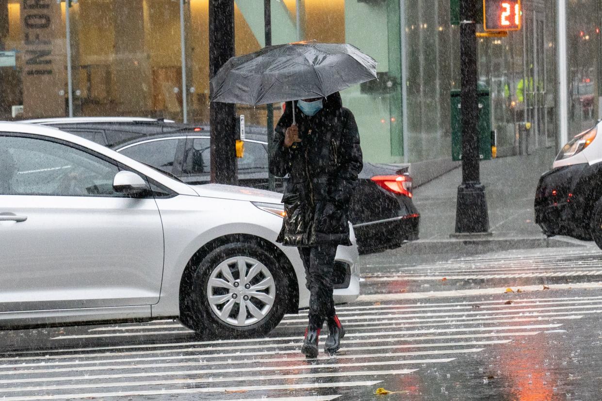
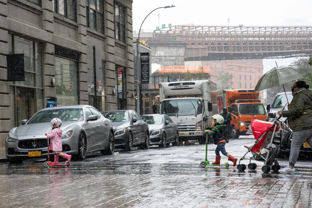
A last gasp of winter is heading our way this weekend, with a developing “bomb cyclone” that will bring heavy rain and strong winds to the New York City area and snow north and west of the city, meteorologists told the Daily News on Thursday.
The bomb cyclone — a severe winter storm characterized by a steep pressure drop in a short amount of time that brings strong winds on top of all the other weather — was forming along the Gulf Coast and scheduled to track up the East Coast.
“Essentially we’re looking at a pretty rapidly intensifying system that will approach the area late Friday into Saturday,” National Weather Service meteorologist Matt Wunsch told The Daily News.
New York City will most likely be spared the storm’s full fury, with Saturday the worst day to be outside.
“It could be a pretty intense storm,” AccuWeather senior meteorologist Paul Walker told The News. “It’s going to be quite windy.”
New York City and Long Island will probably see heavy rain, with potential for flooding in the streets and highways with poor drainage.
“If you don’t have to travel, I would advise not traveling Saturday morning,” Walker added.
AccuWeather.com predicted the storm would spread snow across most of the Northeast on Saturday, though “little to no accumulation is in the forecast for the major cities along the I-95 corridor, but plowable snow is in the offing across the region’s interior.”
Key Messages have been started for the upcoming winter storm that will stretch across the interior eastern United States beginning late Friday. pic.twitter.com/PN49ItczXS
— National Weather Service (@NWS) March 9, 2022
The lower Hudson Valley, northern Westchester up into lower Duchess County, could get from 1 to 3 inches of snow; farther north in Duchess as far as Albany could see 3 to 6 inches, and north of that the storm could dump 6 to 12 inches, Walker said.
On Long Island, wind gusts could hit 50 to 60 mph, peaking Saturday morning and into the early afternoon. Wind speeds north and west of New York City could range from 40 to 50 mph.
Overnight Saturday the temperatures will plummet below freezing, and anything that the winds have not dried out will freeze.
But spring-like weather is just around the corner.
“It will still be a cold day on Sunday but then there’s a warmup next week. We’ll be up to the lower 60s by early next week,” Walker said. “Winter isn’t over yet, but spring is coming. Eventually it will get here. Spring likes to change back and forth.”
