Winter’s death throes bring weekend storm to much of U.S., with possible ‘bomb cyclone’
Just when you thought spring was coming.
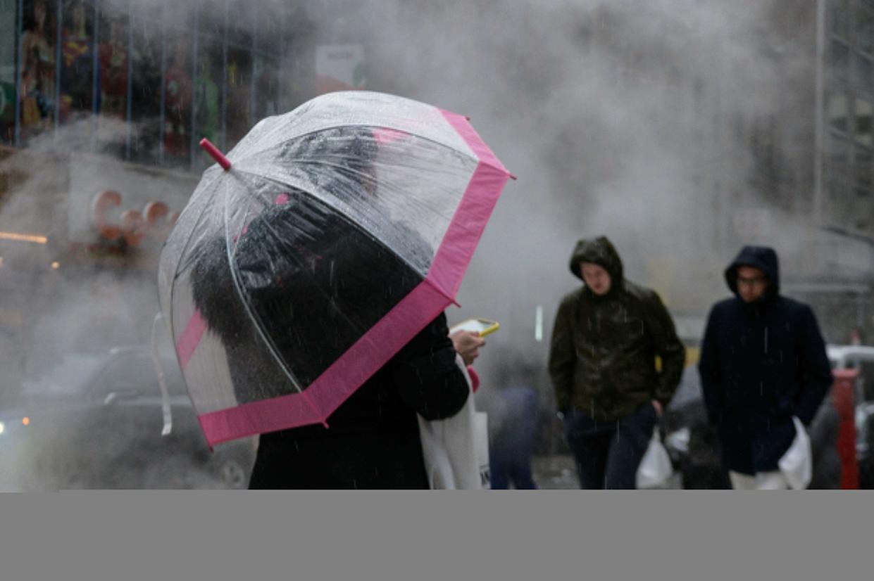
It’s that iffy time of year again, when spring arrives in fits and starts. This weekend, the weather forecast is for a fit.
A huge storm that could explode into a bomb cyclone is forming over the Midwest and could dump rain, snow or icy mixes on much of the south, southeast and northeast, all the way into New England and Canada, weather experts said Wednesday.
The potential winter storm is scheduled to result in snow from the Rockies, Plains and parts of the South all the way into New England, meteorologists at The Weather Channel predicted. The so-called bomb cyclone could develop as the storm surges up the East Coast.
While it was too early to gauge travel disruption for the weekend, one thing seemed certain.
“It’s not going to be a pleasant day,” AccuWeather senior meteorologist Brian Thompson told the Daily News of the storm that will probably reach the Northeast this weekend. “The earliest it could start is probably very late Friday night and in the pre-dawn hours Saturday.”
Cold air is flooding south out of Canada into the Plains and will collide with warm, moist air coming from the South, forming a massive storm starting along the Gulf coast, according to AccuWeather.
“Confidence is growing for a significant storm that will bring wide-reaching impacts,” AccuWeather Meteorologist Alex DaSilva said.
What’s uncertain is how far south and east the frigid Arctic air will move, and its position will dictate the storm’s track and where along it the zones of rain, snow or mixed precipitation will be.
Precipitation will literally be all over the map, with the amount of snow, rain, ice or all of the above depending on where the edge of cold versus warm moist air tracks, Thompson said.
Ahead of that storm, snow was already falling Wednesday in eastern Oklahoma, western Ohio, Kentucky and Tennessee, and into northern Mississippi and Alabama, AccuWeather meteorologist Alex Sosnowski noted.
Temperatures were slated to plummet from balmy springlike numbers to deep-winter, in some cases single-digit, chills. Strong wind gusts are also predicted. While cold air would come in after precipitation ends on Saturday evening, Thompson said, noting that snow accumulations were unlikely even if some flakes fall.
“I think the wind will probably end up being the biggest impact from this,” Thompson told The News, “Thirty, forty, maybe even 50 miles per hour, especially on the south shore of Long Island.”
Cold air that will sweep into the Northeast after that storm means that “anything that doesn’t dry out before the temperature drops could ice up on untreated surfaces,” he said.
The storm’s formation is not normal for this time of year because of the cold air getting pushed “pretty far south,” he said.
“That’s relatively unusual this late in the season,” he said. “It’s something unusual that we don’t usually see this time of year versus the middle of winter.”
