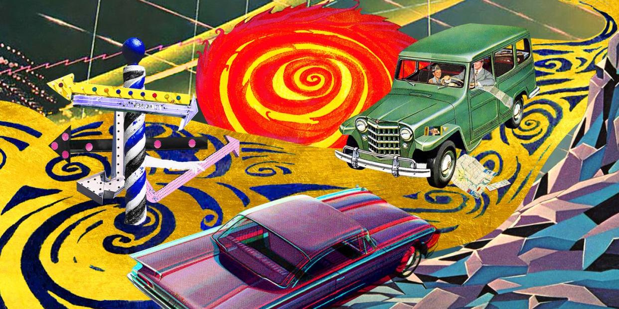
Why the GPS Revolution Is Two Steps Forward and One Step Back
Recently, I was driving down a road, following the directions from my Ford Escape’s GPS, when the navigation voice said, “In a quarter-mile, make a sharp right turn into oncoming traffic.”
What?! “This is it,” I thought. “It’s finally happening. My car’s been hacked!”
This story originally appeared in Volume 14 of Road & Track.
SIGN UP FOR THE TRACK CLUB BY R&T FOR MORE EXCLUSIVE STORIES
Then I noticed the bleep-eating grin on my son’s face. He was messing with me from the passenger’s seat, playing jokes through the speakers using his phone. That voice wasn’t the nav at all. Nevermind how he figured this out—it launched us into an important conversation. I asked, “Do you realize how incredible it is to have GPS in your car telling you how to get where you’re going?”
“Wait,” he said. “Cars didn’t always have GPS?”
Audible eye-rolling. “No, let me tell you how it used to be, back in the day.”
It used to be that every time anyone tried to go anywhere they’d never been, they’d have to scribble directions on a dirty napkin. Then they’d try to read that napkin while driving, with an actual paper map open across the steering wheel. When that failed and they were lost, people would go to a gas station, ask for directions, and maybe or maybe not get pointed in the right direction.
As I explained this, my son dug up facts on the internet. “Did you know GPS is owned by the United States Space Force?” he said. “For real.”
When I was a kid, I sat in the back seat of our car while my lost parents yelled at each other. I’d fill my diaper, and they wouldn’t notice because they would be so frustrated trying to figure out how to get to some restaurant in South Orange, New Jersey, two hours late. We really could have used GPS.
“Did you know,” my son continued, “that there are 31 operational GPS satellites and that they communicate with our car independent of any internet or telephonic connection? The orbital elevation of the satellites is around 12,550 miles. It costs our government about $750 million every year to operate the system.”
“Interesting,” I said. Once upon a time, when I first got my driver’s license, I got in my sister’s 1985 Pontiac T1000 to drive 80 miles south to visit my Grandpa Bill. After an hour of driving, I saw a “Welcome to New York” sign. I’d been driving north rather than south. Back then, if you were lost and needed to talk to someone, you had to find a “pay phone.” You’d put a quarter in a slot, and sometimes the phone worked. If you were lucky, the person on the other end had directions.
“Did you know,” my son said, “that China has its own GPS? It’s called BeiDou. And Russia has its own system called GLONASS.”
Just then we arrived at our destination. Our car had given us impeccable directions. It didn’t matter that we had no idea where we were or how we got there—the GPS handled all of that for us, so we could be blissfully ignorant and fully assured we would find our way home. GPS is so awesome.
I said to my boy, “Thank you for spending this quality time with me.”
“Love you, Dad.”
“Love you, son.”
You Might Also Like
