Weather Alert | Freezing rain, maybe snow, forecast for Eastern WA and Tri-Cities
The National Weather Service has expanded its initial winter weather advisory for Tuesday to include the Tri-Cities and much of Eastern Washington.
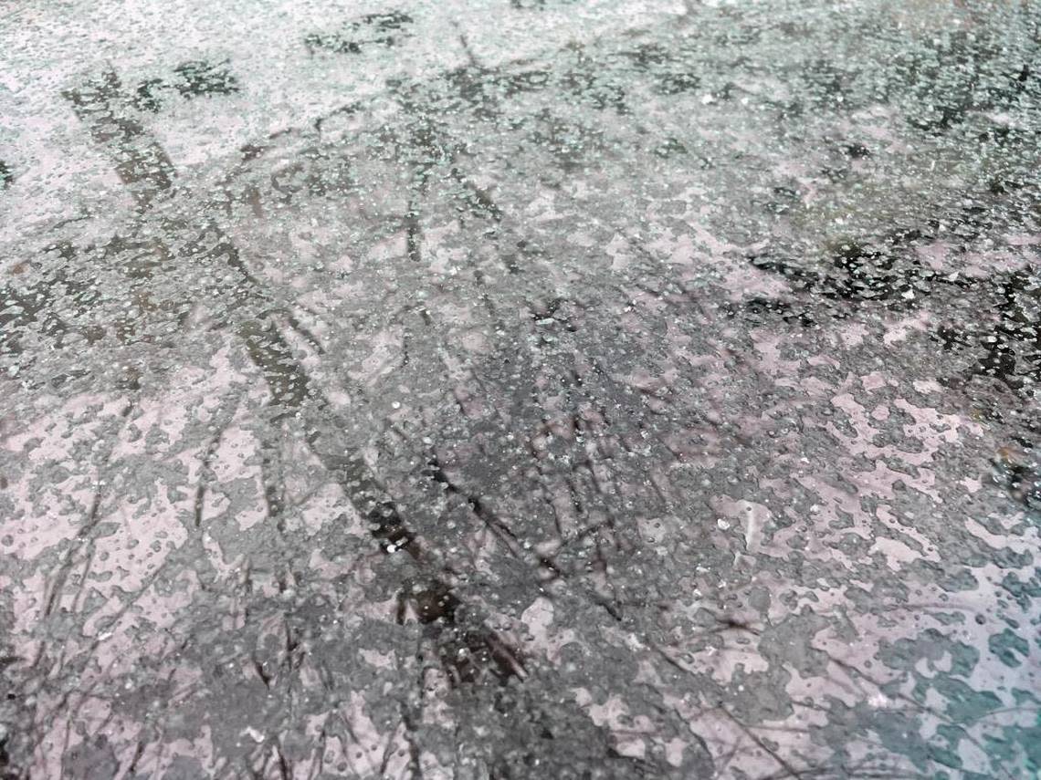
Roadways could be icy as a mix of snow and freezing rain is forecast across the region.
In some areas up to a tenth an inch of ice could accumulate, according to the weather service.
In the Tri-Cities a chance of snow and freezing rain is forecast from 10 a.m. to 1 p.m. Tuesday, followed by a chance of rain, snow and freezing rain for the rest of the afternoon.
Little or no snow accumulation is expected in the Tri-Cities, according to the weather service.
The winter weather advisory for the Tri-Cities area will start at 10 a.m. as patchy fog gives way to precipitation. It is set to expire at 10 p.m. Tuesday.
The weather service says freezing rain, possibly mixed with snow, also is forecast Tuesday at Snoqualmie Pass on Interstate 90; from Ellensburg to the Tri-Cities on Interstate 82; and from Ritzville to the Tri-Cities on Highway 395.

People planning to travel should check the forecast and travel conditions before they depart, says the weather service.
Current road conditions are available at wsdot.com/travel/real-time.
“Please use caution, plan ahead and drive for conditions,” the Washington state Department of Transportation posted on social media. That means slower speeds, slower acceleration, extra space between vehicles and allowing extra time and space to stop.