Will floods that swamped airport and roads give way to more heat? What the forecast says
South Florida was under a flood watch on Friday after heavy rain and street flooding in Broward County.
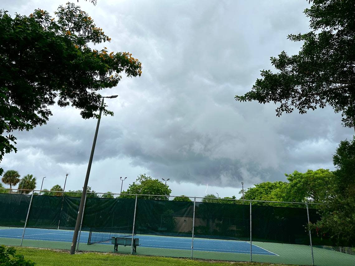
Flash flooding late Thursday shut down the Kinney Tunnel in Fort Lauderdale, stalled cars in Hallandale Beach, breached homes and businesses in Hollywood, and delayed flights and closed access roads to the Broward airport.
“I’ve been living here for eight years and in the past two years I saw this flooding getting worse,” Yura Cantillo, owner of dance studio in Hollywood, told Miami Herald news partner CBS News Miami
KNOW MORE: Hurricane center tracking three waves, and one is near Florida. What the forecast says
Record daily rain
At Fort Lauderdale-Hollywood International Airport, a record-breaking 6.19 inches of rain fell late Thursday, according to the National Weather Service in Miami, flooding access roads and shutting them down for several hours. The soaking bested the previous record of 2.48 inches for July 27, set in 1995.
According to the weather service, FLL has now received 65.64 of rain since the year began. That is more than double normal 30.54 for the period of Jan. 1 to July 28.
NEW RECORD DAILY RAINFALL for JULY 27th at FLL ️Ft. Lauderdale Airport received 6.19" of rain yesterday! FLL has now received 65.64" of rain since January 1. That is more than double normal (30.54") for Jan 1 - July 28th. pic.twitter.com/qbiqGZspI0
— NWS Miami (@NWSMiami) July 28, 2023
Where does the flood watch apply?
The weather service predicted an 80% chance of rain Friday in South Florida. The flood watch was in effect in Broward and Miami-Dade until 6 p.m.
A special weather statement has been issued for Hialeah FL, Doral FL and Westchester FL until 1:00 PM EDT pic.twitter.com/x8c3JI29Cl
— NWS Miami (@NWSMiami) July 28, 2023
“One extreme to the other,” said CBS News Miami meteorologist Lissette Gonzalez, noting heat advisories giving way to flood alerts.
Weekend forecast
But there is some good news ahead: Forecasters say the weekend may not be quite as wet. But it could be hotter.
Heat index readings of 105 degrees or more could occur this weekend and, if the heat lingers at that level, advisories could be issued.
Despite an improvement over Thursday and Friday morning’s deluges, thunderstorms are still in the forecast every day in South Florida for another week, the weather service said on Friday.
Saturday’s storm chance is 40%. The percentage rises to 60% Sunday to Thursday.
Road trips
If you’re hitting the roads for a weekend getaway somewhere in Florida — Orlando, Tampa Bay, Gainesville, for instance — pack wet weather gear and drive safe. Most of the state will see rain and thunderstorms.
Key West rain chances run 50% Friday, 40% Saturday, 30% Sunday and head back to 40% Monday before settling back to 30% for most of next week. But as you approach the island chain’s southernmost point from Miami-Dade County, the percentages tick up. Key Largo, for instance, runs 50% Friday and then 40% Saturday through Wednesday.