UK weather: Met Office gives verdict on whether heatwave will hit Britain this month
As the UK braces for another weekend of miserable weather during Storm Antoni, the Met Office has given its verdict on whether a heatwave will hit Britain this month.
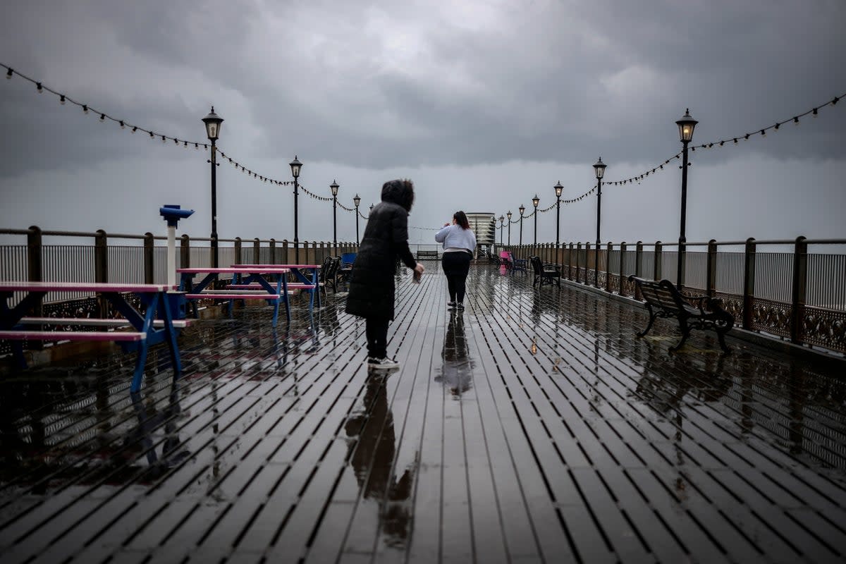
The first storm of the year will see gusts of up to 65mph batter coastlines from Friday evening onwards, with winds of up to 50mph inland due in parts of south Wales and southwest England, leaving Britons longing for the summer sun to return.
Follow the Independent’s live coverage for the latest updates on this story
Strong winds and fast-flowing rainwaters may bring travel chaos as a low-pressure weather system moves in from the Atlantic Ocean, meteorologists said, with the RAC expecting “atrocious” conditions for drivers and the Met Office warning of a “danger to life”.
The Met Office has also dashed hopes of a heatwave on the horizon as it warned that cooler temperatures and unseasonal wet weather are likely to continue for two more weeks.
So far, August has continued much the same way as last month, the sixth wettest July on record. Areas such as Preston, Lancashire, and Castlederg in County Tyrone, Northern Ireland, reported their wettest July since records began, according to the BBC
In contrast, much of southern Europe is still recovering from a severe heatwave that triggered wildfires in Greece, Spain, and Italy.

According to the Met Office, the washout summer in England will continue for at least another 10 days, with warmer and drier conditions becoming “slightly more likely than the unseasonably unsettled weather of July” during the second half of August.
From 6-15 August, temperatures will continue to be mostly below average for this time of the year (around 20C), “although they should start to recover through the period”.
“The greatest chance of seeing anything more widely settled is the second part of August, with warmer and drier conditions becoming more likely,” they added, when temperatures are forecast to rise to average, or slightly above average. However, this change might be accompanied by an increasing risk of thundery showers.
“Unsettled conditions are never too far away and so there will likely still be some spells of rain or showers for many areas from time to time,” a spokesperson told The Independent.
As a result, the UK is unlikely to endure any prolonged periods of dry or hot weather as seen in Europe.
It’s a stark contrast to this time last year, when an unprecedented heatwave gripped the UK. Temperature records were shattered as Britain sweltered in 40C heat.
For the last part of the month, between 19 August and 2 September, the Met Office said: “A changeable pattern is most probable through the latter part of August and into early September. This is likely to bring a mixture of some dry, settled weather but also some spells of wetter, more unsettled conditions.
“There is a risk of some heavy rain or thunderstorms at times. Temperatures are expected to be close to average for the time of the year, but some warmer spells are also possible.”
