Tornadoes, hail, wind and haze. Kentucky weather keeps going to extremes.
From baseball-sized hail and tornadoes to dangerously poor air quality caused by smoke from wildfires in Canada, the Bluegrass state seems to be getting more than its fair share of unusual weather phenomena.
“This is becoming a new normal,” said WKYT Chief Meteorologist Chris Bailey.
Kyle Wilkins, a meteorologist for the National Weather Service in Louisville, agreed that the severe weather in Kentucky recently has been atypical.
Rounds of storms pummeled the state this weekend, and more were possible Sunday, according to the weather service.
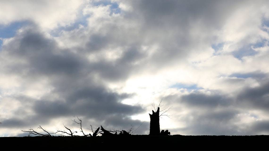
A three-day damage survey after the storms last weekend revealed a mile-long swath of EF-2 tornado damage in the Cecelia community of Hardin County, EF-1 tornado damage in Jamestown in Russell County and straight line wind damage that reached 100 mph or more in several other counties throughout the state, according to the weather service.
Wilkins said the tornadoes and large hail June 25 and 26 are “kind of unusual for this time of year. Usually it’s more of a fall or spring type” event.
While he said popup thunderstorms aren’t uncommon in summer, “they usually don’t have the wind shear to go with it” that these storms had, and they are not “organized supercells.”
After that, a thick haze of smoke pushed down from the wildfires in Canada descended upon the state last week, causing the poorest air quality Bailey said he’s ever seen in Kentucky.
Now, the smoke has been washed out of the area by round after round of thunderstorms over the past several days.
But this cluster of extreme weather events goes back further than the past week.
Bailey pointed out that Kentucky has experienced three “billion-dollar weather disasters” in less than two years: the tornado outbreak of December 2021, the catastrophic flooding in Eastern Kentucky last July and the deadly windstorm that knocked out power across the state March 3.
Other examples of recent weather weirdness include the extreme cold last December, when “we stayed below zero for 27 consecutive hours” and had windchills of 35 degrees below zero, “and then we were setting record highs in January and February,” Bailey said.
After that came strong winds that repeatedly swept through for Central Kentucky’s windiest spring on record. April and May brought early blooms and then later than usual frosts nipped them, Bailey said.
He said even the unprecedented Canadian wildfires sending smoke Kentucky’s way started in the spring with something unusual — “dry thunderstorms” that are more typical of desert environments.
“Until they get those under control, we’re going to have intrusions of smoke into Kentucky off and on through the rest of the summer,” Bailey said of the fires.
Wilkins said that historically, some periods are just like this.
“It seems to come in waves,” he said of anomalous weather patterns.
But Bailey said the weird weather events are happening with more frequency and greater intensity than before.
“These extremes are becoming more and more common,” Bailey said. “They’re not only becoming more common, they’re also becoming more severe when they do happen.
“Everything the weather does now, it does it to the extreme.”
In terms of this summer’s unusual weather, both meteorologists said ocean temperatures are the driving factor.
“We’re seeing a very strong El Nino coming on in the Pacific Ocean,” Bailey said. “The difference this year is that we’ve never had the oceans across the rest of the globe be as warm as they are right now.”
So what’s next?
That’s trickier, Wilkins and Bailey said.
Bailey said that when he does seasonal forecasts, he goes back to look through historical data to see what has happened in other years with similar patterns.
“Now, you can’t go back and find anything,” he said. “You can’t go back and find an analog. We’ve never had this kind of set up.”
With higher than normal ocean temperatures all over the world, “we’re kind of in uncharted territory” for what the rest of the year might hold, he said.
“We’ve just gotta buckle up and find out,” Bailey said.
But in the short term, it’s not so hard to say what to expect: More of the same.
The weather service issued a Hazardous Weather Outlook statement for much of Central Kentucky Saturday afternoon, warning that more “waves of strong to severe storms are possible again on Sunday. Damaging winds and large hail are the primary hazards, and locally heavy rainfall could result in flash flooding.”
The weather service said there’s a chance of showers and thunderstorms every day this week.
Climate change keeps making wildfires and smoke worse. Scientists call it the ‘new abnormal’
Dangerous heat and humidity is smothering much of the South and Midwest
