Tornado watch issued for western Ohio, storms expected to hit Columbus early Wednesday
The National Weather Service in Wilmington issued a tornado watch late Tuesday for parts of western Ohio as a strong storm system began to enter the region.
The watch remains in effect until 6 a.m. and includes Ohio counties of Brown, Clark, Darke, Highland, Montgomery, Warren, Butler, Clermont, Greene, Logan Preble, Champaign, Clinton, Hamilton, Miami and Shelby.
The NWS amended its forecast for Franklin County, saying there's an 80% chance storms should reach the Columbus area by 1 a.m. Wednesday. Earlier forecasts anticipated storms would begin by 10-11 p.m. Some of the storms could be severe.
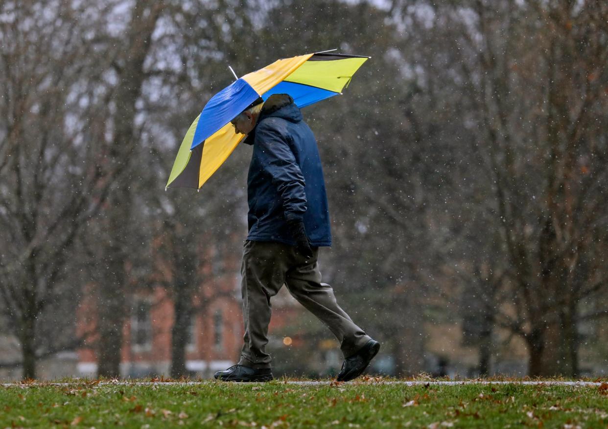
Expect low temperatures around 59 and southwest winds between 15 to 18 mph and gusts as high as 30 mph.
Here are some resources and frequently asked questions for weathering the storm.
How can I check for power outages during the storm?
AEP Ohio maintains an online map with power outages in the area.
Columbus Division of Power maintains its own outage map. If your address is included on the map, there's no need to report an outage at your location. The city is already aware.
New city power outages can be reported at 614-645-7627.
Is my flight from Columbus delayed?
Some flight delays were reported at John Glenn International Airport Tuesday afternoon, but it was unclear if those were weather-related.
Flight statuses can be checked online at FlyColumbus.com, through your airline app or by contacting your airline.
Are tornadoes common in the winter?
December and January are the least common months for tornadoes, according to the National Weather Service. But by late February, severe weather and tornadoes are “fairly common.”
As climate change pushes Ohio springs earlier and fall later, we might see more of these winter tornadoes.
Tornadoes are most common during spring and summer, especially April through July.
What's the weather for the rest of the week?
Wednesday: Possible thunderstorms before 11 a.m., then a chance of showers between 11 a.m. and 1 p.m. Cloudy with temperatures dropping to about 36 by 5 p.m. Breezy, with a southwest wind 16 to 23 mph becoming west in the afternoon. Winds could gust as high as 38 mph. The chance of precipitation is 70%.
Wednesday night: Mostly clear, with a low around 23. West wind 11 to 17 mph.
Thursday: Sunny, with a high near 41.
Thursday Night: Mostly clear, with a low around 28.
Friday: Mostly cloudy with a 30% chance of rain after 1 p.m. and a high near 48.
Friday Night: Cloudy with a 30% chance of rain before 1 a.m. and a low around 41.
Saturday: Partly sunny with a high near 59.
Saturday Night: Partly cloudy with a low around 44.
bagallion@dispatch.com
This article originally appeared on The Columbus Dispatch: Tornado watch issued for parts of Ohio late Tuesday, early Wednesday
