Snow flurries ice Tri-Cities. Schools, city halls closing doors early
Schools, city halls and college campuses closed early on Thursday afternoon as snow began to coat the Tri-Cities and major highways in a fresh slippery blanket of snow.
Kennewick, Pasco and Richland school districts canceled after-school activities, programs, meetings, practices, games and events for Thursday.
Columbia Basin College canceled classes and closed its campus at 3 p.m. Washington State University Tri-Cities did the same at 4 p.m.
Rain or snow was forecast to fall in the Tri-Cities area until 10 p.m., with snow later in the night at elevations as low as 500 feet, according to the National Weather Service. The lower areas of the Tri-Cities are just over 400 feet in elevation.
Little or no snow was expected to accumulate.
Hanford site workers were sent home early just as snowflakes began to fall in the late morning.
Workers for the Department of Energy, its cleanup contractors and the vitrification plant were released at noon and 12:45 on a staggered schedule to help prevent traffic congestion. The early release included workers in Richland.
Swing and graveyard shifts for Thursday also were canceled.
However, the early release and canceled shifts did not include workers essential to the safety and security of the nuclear reservation adjoining Richland, Wash., or teleworking employees.
The site employs about 11,000.

More snow is forecast for Friday night between 10 p.m. and 4 a.m. at elevations 500 feet and higher in the Tri-Cities as a new storm system reaches the Mid-Columbia.
Less than an inch of snow was expected to accumulate.
But driving remained treacherous west of the Tri-Cities in Prosser where schools were closed on Thursday.
As flurries began to pick up in the Tri-Cities Thursday afternoon, Kennewick, Pasco and Richland school districts canceled their after-school activities, programs, meetings, practices, games and events for that day.
Columbia Basin College announced its campus would close early at 3 p.m. due to the inclement weather.
Mid-Columbia Libraries announced it would close all branches at 3:30 p.m.
Franklin County and the city of West Richland both announced that they would shut down at 3 p.m. This included Superior and District courts.
The city of Pasco closed at 3:30 p.m.
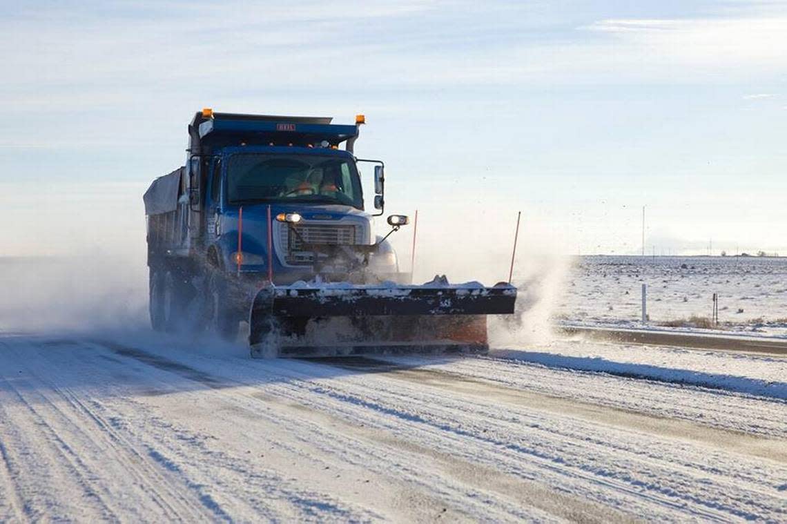
Travel across Interstate 90 on Snoqualmie Pass was again dicey on Thursday following Wednesday’s 38-car pileup in the eastbound lanes east of Ellensburg near Kittitas.
Westbound lanes were closed for a time Thursday morning because of crashes, and chains were required for all vehicles except all-wheel drive for eastbound traffic.
The Washington State Department of Transportation was urging caution because it was snowing with freezing rain.
Weekend forecast
Saturday a 50% chance of rain and snow is forecast until early afternoon, with a chance of snow and freezing rain that night from 10 p.m. to 1 a.m.
On Sunday, the chance of snow drops to 30% with snow most likely at higher elevations and before 10 a.m.
The coming work week should start out dry under mostly cloudy skies. No precipitation is forecast through at least Wednesday.

But temperatures will be dropping again. The low Tuesday night could be only 18, and the high Wednesday could get no warmer than 25, according to the weather service.
Normal average highs for early to mid December in the Tri-Cities are 42 degrees and normal average lows are 28.