Storm update: Snow expected to end Sunday, but here comes the cold
We're tracking power outages, snowfall totals, snow emergencies and other storm-related news as it develops throughout the day. Here's what we know now.
Updated 8:45 p.m.
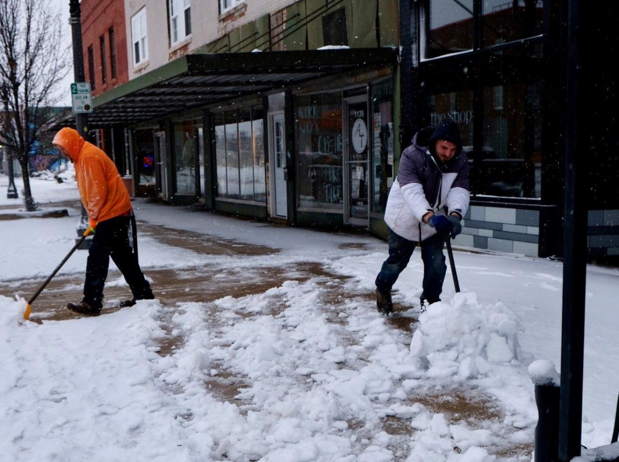
LANSING — The Lansing area remains under a winter weather advisory until noon Sunday, with more snow and frigid temperatures expected on the tail end of a storm system that dumped the season's first significant snow.
Snow is likely to continue to fall through the early part of Sunday with Saturday night lake effect expected snowfall expected to drop 6 to 12 inches of snow in the Muskegon, Holland and Grand Rapids area. Ingham and Eaton counties were expected to get as much as 3 inches overnight into Sunday and possibly another 2 inches Sunday, the NWS said.
Gusts blowing up to 40 mph with a more regular breeze of around 20 miles an hour are expected today
Clinton County is expected to see slightly higher snowfall by tonight, potentially another 6 inches, according to the NWS winter weather advisory.
One of the key risks will be the cold: Sunday's high is expected to be 16 degrees with wind chills of 6 degrees below zero. Overnight wind chills could drop to 15 degrees below zero overnight into Monday. The whole work week is expected to be below freezing, with Monday and Tuesday temperatures in the single digits, warming a bit mid-week and dropping back to the high teens by Friday.
The cold and the snow came abruptly, after a fairly mild winter so far and people should expect to have a full week of cold air and occasional flurries, along with ice patches and risky roads, said Bob Dukesherer, a meteorologist with the National Weather Service's Grand Rapids office, which serves the Lansing area.
"It's going to be a cold week, he said, "this has been shock to the system, given what it has been."
Lansing declares snow emergency
Updated 11:45 a.m. Saturday
The city of Lansing has declared a snow emergency, level 2, meaning street parking downtown is prohibited from 2 a.m. to 6 a.m. Parking on on other streets during all hours is not allowed for the rest of Lansing until streets are fully plowed. Streets that have been plowed - "for the entirety of the block on both sides" - following the snow emergency declaration get a waiver and people can park on those plowed streets.
The snow emergency will stay in effect until it is lifted by the city. The city has a snow ordinance requiring people to clear their sidewalks within 24 hours of the stop of snow. The ordinance is technically in effect during the weekend but "enforcement is typically only done during normal business hours," according to a guide by the city. People who are cited after 24 hours get another 24 hours to comply before the city sends them the bill.
Lansing has also declared a "Code Blue" emergency plan, which gives shelters more leeway in accepting people and opens some buildings as temporary shelters.
MORE:Where are Quality Plowy and Frandolorian? Lansing, MDOT snowplows can be tracked online
Snowfall totals across Michigan
Updated 9:50 a.m. Saturday
LANSING — The Lansing area had around 4 inches of snow this morning, according to several snowfall totals collected by the National Weather Service.
The highest Lower Peninsula totals reported, as of 9 a.m. Saturday, were in West Branch (15 inches), Hale (15 inches) and Gladwin (12 inches).
Closer to Lansing, Ionia got 6 inches and Nashville, west of Charlotte, got 6.5 inches.
The Grand Rapids area varied from around 4 inches to 8 inches and the Detroit metro area generally saw less snow, ranging from around an inch to 8.5 inches in Ortonville.
A pair of monitoring stations in Humboldt and Ely townships, west of Ishpeming in the Upper Peninsula, racked up more than 25 inches.
Check around the state for local snow totals, and don't forget to check the timestamp because some of the totals are from Friday evening and some from Saturday morning.
The Lansing area is projected to get another inch of snow throughout the day and 2 more inches overnight into Sunday, with a low of 15 degrees overnight. Temperatures were expected to fall to 13 degrees by 5 p.m. Sunday and winds are expected to gust up to 31 mph over and during the day Sunday.
Thousands of Lansing area homes, businesses without power
Updated 9:30 a.m. Saturday
Thousands of homes and businesses across the Lansing region were without power Saturday as a winter storm moved through the area.
The region is under a winter storm warning that began Friday and is scheduled to end at 7 p.m. Saturday, with more snow and high winds expected to continue through Saturday before frigid temperatures set in for the next several days. The storm caused a rush to stores for local residents stocking up on supplies.
On Friday evening, Ingham County officials urged people not to travel as multiple crashes were reported as road conditions quickly deteriorated after dark.
Consumers Energy had around 70,000 outages across the state as of 9:30 a.m. Saturday, according to the company's online outage map. About 2,100 of those customers were in the Lansing area, with major outages in the Grand Ledge, DeWitt, Ovid-Elsie, Bath, Laingsburg, Holt and Eaton Rapids areas. Restoration times varied from midday Saturday to early Sunday morning, although a handful of outages have undetermined times for repair.
DTE Energy, which serves customers in southeast Ingham County and southeast Michigan, said it had 109,000 customers without power, including about 150 homes and businesses between Williamston and Fowlerville, according to the online outage map. No restoration times were indicated.
MORE: Michigan power outage maps: How to check your status in the Lansing area
The Lansing Board of Water & Light had scattered outages overnight but as of 7:30 a.m. Saturday had just two customers without power, according to the company's online outage map.
Portland-based Tri-County Electric, which has about 25,000 rural electric customers between northern Jackson County and Reed City, said it had just over 400 outages. The company's largest Lansing area outage was in the Portland area, but there were scattered outages in the Stockbridge, Mason and Westphalia areas and other smaller outages in and around Portland. The electric cooperative did not list restoration times.
MORE:How much snow will we get? Here are the latest projections
This article originally appeared on Lansing State Journal: Storm update: Snow expected to end Sunday, but here comes the cold
