When will temperatures get above freezing in South Bend? Not until Monday at the earliest
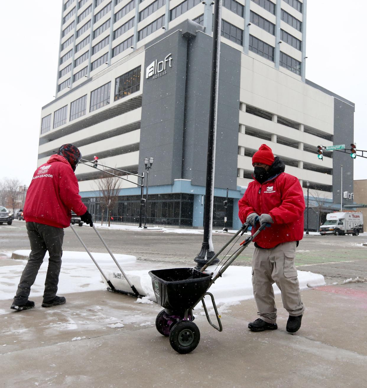
SOUTH BEND — Sunny skies Tuesday didn’t mean warmer temperatures.
And the South Bend area isn’t likely to see above-freezing temperatures until early next week at the earliest.
“We can hope that by next Monday we might exceed the freezing mark,” meteorologist Todd Holsten said Tuesday morning from the National Weather Service’s Northern Indiana office in North Webster. “I think the better prospects for that are Tuesday of next week.”
Outdoor Adventures: Itchin' to snowmobile or ice fish? Here's what you'll need to know first.
Holsten said that “with a little luck,” the area could hit 40 degrees on Tuesday, Jan. 23, but that also means a chance of rain that day. There might also be freezing rain Monday, Jan. 22 as the temperature approaches 32 degrees.
The Tribune’s newsgathering partner, WNDU-TV, predicts a high of 36 degrees for Jan. 23 followed by a pair of 40-degree days Jan. 24 and 25.
Wind chill advisory
For the rest of this week, Holsten said, the area should see temperatures in the low 20s Thursday and lake effect snow Friday.
Until then, the South Bend area remains under a wind chill advisory through 11 a.m. Wednesday, Jan. 17, with wind chill values of between -20 and -15 degrees. The high for Wednesday will be near 18 degrees.
What about snow?
The National Weather Service predicts a 30% chance of snow after 1 p.m. Wednesday, although it says the accumulation should total around only an inch.
The likelihood of snow continues to grow as the area moves toward the weekend, with a 70%-80% chance of precipitation on Friday and a 40% chance of snow before 1 p.m. Saturday, when the high could reach 19 degrees.
WNDU's forecast says, "A light dusting up to an inch of snowfall will be possible through the rest of the week, but we are not expecting a return to conditions we just experienced."
The National Weather Service’s forecast for the South Bend area
• Wednesday: A 30% chance of snow after 1 p.m. Partly sunny and cold, with a high near 18 degrees. Wind chill values as low as -15 degrees. Southwest wind around 15 mph, with gusts as high as 30 mph.
• Wednesday night: Snow likely, mainly after 1 a.m. Cloudy, with a low around 16 degrees. West wind 5 to 15 mph, with gusts as high as 20 mph. Chance of precipitation is 60%. New snow accumulation of around an inch possible.
• Thursday: A 40% chance of snow. Cloudy, with a high near 23 degrees. Southwest wind 5 to 10 mph becoming northwest in the afternoon.
• Thursday night: Snow likely, mainly after 1 a.m. Cloudy, with a low around 14 degrees. Chance of precipitation is 70%. New snow accumulation of around an inch possible.
• Friday: Snow likely. Cloudy and cold, with a high near 19 degrees. Chance of precipitation is 70%.
• Friday night: Snow. Low around 6 degrees. Chance of precipitation is 80%.
• Saturday: A 40% chance of snow before 1 p.m. Partly sunny and cold, with a high near 19 degrees.
• Saturday night: Partly cloudy, with a low around 4 degrees.
• Sunday: Mostly sunny and cold, with a high near 19 degrees.
• Sunday night: Mostly cloudy, with a low around 14 degrees.
• Monday: A chance of rain and snow. Mostly cloudy, with a high near 32 degrees.
Email Tribune staff writer Andrew S. Hughes at ahughes@sbtinfo.com.
This article originally appeared on South Bend Tribune: Freezing temperatures expected through Jan. 22, with more snow coming
