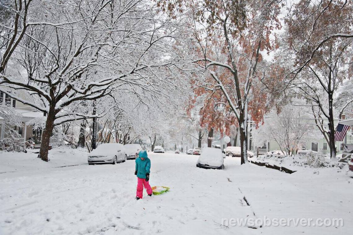
Will the strengthening El Niño mean North Carolina gets snow this winter?
Meteorologist Nick Luchetti of the National Weather Service in Raleigh is a stone-cold scientist committed to observable facts.
But press him hard enough to go beyond the official forecasts and guess whether North Carolina will see appreciable snow this winter as a result of a strengthening El Niño, and Luchetti is that budding weatherman he was growing up in Pennsylvania, hoping for the big snowstorm that would close school and send kids and sleds flying.
“My gut feeling?” Luchetti said Wednesday, wandering uncomfortably from the world of knowledge into the realm of conjecture. “I don’t know. But I think we’re due.”
What El Niños (and La Niñas) usually do
One of meteorologists’ favorite tools for determining future weather is studying past weather.
Statistics show that in years with a strong El Niño, the Southeastern U.S. tends to have cooler-than-normal temperatures and more precipitation than normal.
In North Carolina, Luchetti noted, a winter storm can mean snow. But it also can mean sleet, freezing rain or just miserable, cold rain — a familiar phenomenon in Eastern North Carolina if not a not a technical weather term — depending on where on the map it hits and other atmospheric conditions in play at the time.
Luchetti, who got his fill of heavy snows that outlive their welcome while prognosticating in Blacksburg, Va., and Boulder, Colo., still likes one or two friendly snowfalls per year.
“Just a couple of inches, that’s pretty and then goes away, and then I’m good,” Luchetti said.
He also likes North Carolina’s chances for getting that much snow this winter, as the El Niño that has developed is expected to strengthen through the summer and fall. Though an El Niño can affect weather during those seasons, its greatest impact here usually is seen from December to February.
El Niños and their opposites, La Niñas, are naturally occurring events that develop from the interaction between the Pacific Ocean off South America and the atmosphere above it. They can affect weather around the globe.
La Niñas happen when the Trade Winds that blow east to west along the equator are abnormally strong, sending warm water from off the coast of South America, in the eastern Pacific, toward Asia and Australia, in the western Pacific.
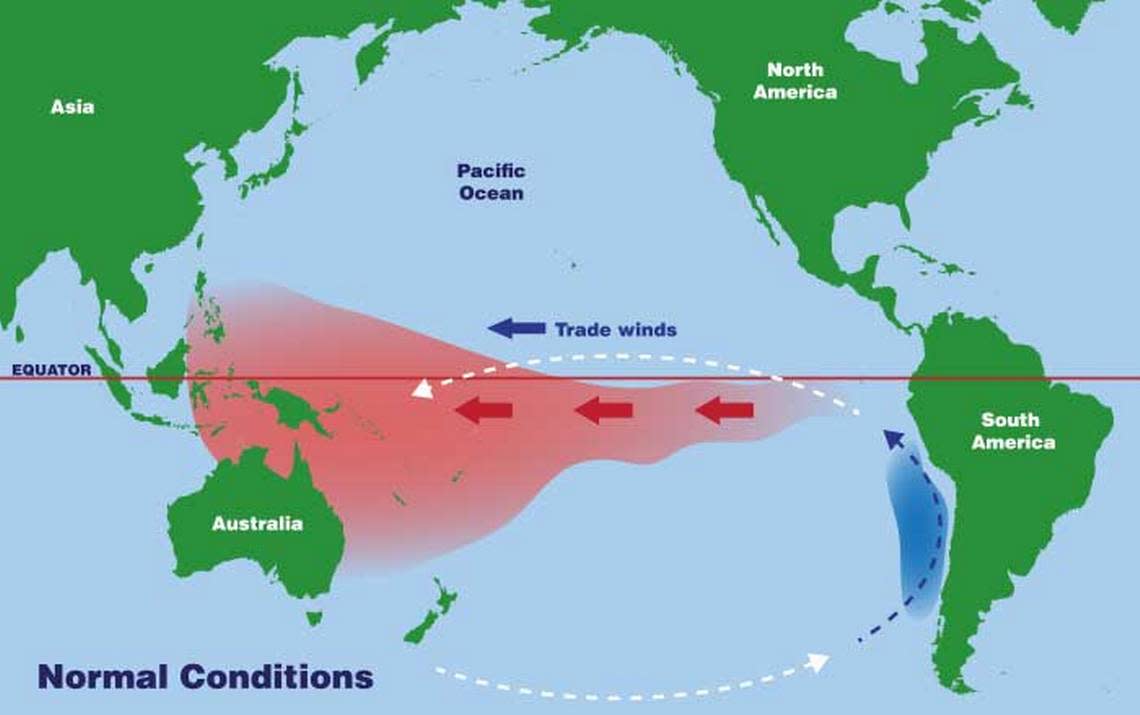
El Niños happen when the Trade Winds weaken and cause the warmer water to move east. It accumulates near South America before moving north to California and south toward Chile, NOAA says. Rain clouds form over the warmer water and carry the moisture inland, resulting in more precipitation than normal in South and Central America and in the U.S.
Typically, the stronger the El Nino, the more pronounced the effects.
How the last El Niño played out
However, other phenomena such as Arctic Oscillation and North Atlantic Oscillation can counter some effects of an El Niño, Luchetti said, making it difficult to make accurate long-range predictions about snow days.
During the last strong El Niño, which affected weather through the winter of 2015-2016, North Carolina did get the anticipated above-normal precipitation, but the cooler-than-normal temperatures didn’t materialize because of other weather patterns. Raleigh had just 1.4 inches of snow that winter compared to a normal of almost 6 inches, state climatologists said.
On the whole, according to the N.C. State Climate Office, a few places in the mountains got their normal amount of snowfall or a bit more that winter. The rest of North Carolina actually saw below-normal amounts.
Basically, it’s still too early to tell. But not too early for school kids to hope.
Yesterday Glenwood Ave in Raleigh, NC #DieHard RT @EricHolthaus Quite possibly the craziest snow photo I've ever seen pic.twitter.com/slz72gMtJp
— Walker Agnew, Jr. (@texasreb126) February 13, 2014
