Storm’s worst spares Whatcom. What’s heading this way next?
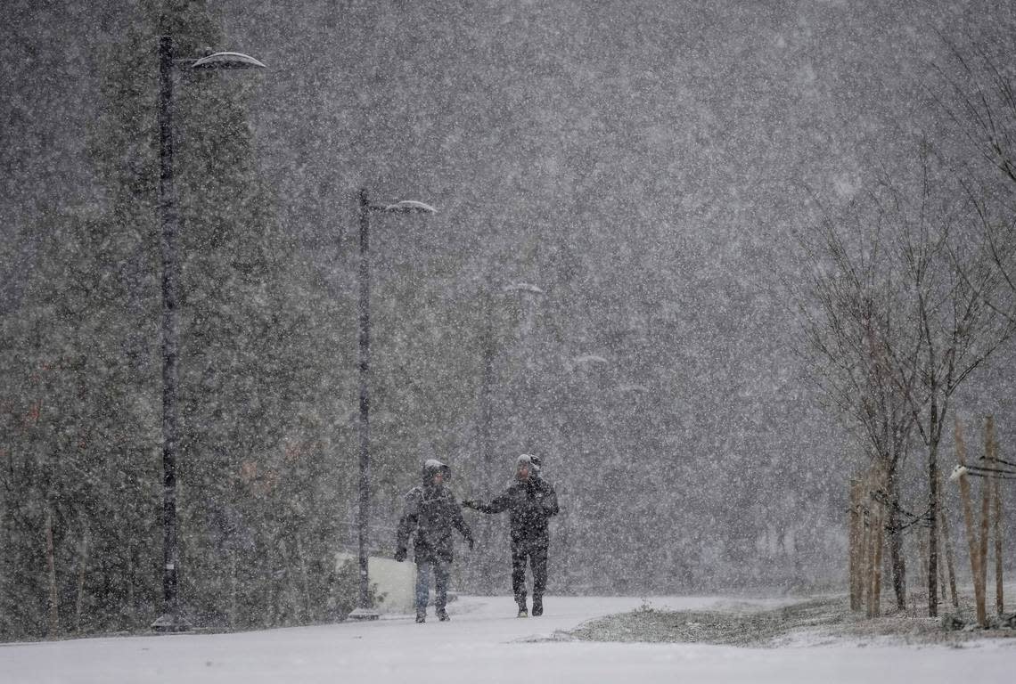
A storm that brought snow and damaging winds to Northwest Washington mostly spared Bellingham and southwest Whatcom County, focusing its fury instead on the Seattle area.
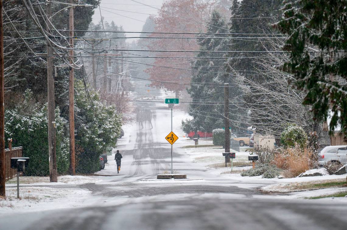
Light snow fell overnight in Sumas and parts of Lynden, but temperatures hovered near 40 degrees in Bellingham with light rain and clear roads early Wednesday, Nov. 30.
Overnight gusty winds subsided and a high wind warning was downgraded to an advisory that expired at 7 a.m. Wednesday.
Blaine School District will start two hours late Wednesday because of weather-related road conditions, the district said on its social media. Morning preschool was canceled and some bus routes were affected with information posted a the district website.
Schools in the Mount Baker District were open and on time, with buses on snow routes in Kendall, Glacier and Maple Falls.
No other Whatcom County school delays or closings had been announced by 6 a.m. Wednesday.
But a winter weather advisory was in effect until 4 p.m. Wednesday for lowland Whatcom County, with snow showers or a mix of rain and snow possible daily through Saturday, Dec. 3.
No significant accumulations were expected in the lowlands, but the National Weather Service said that forecasts were fluid and subject to change.
“Moderate to heavy mountain snow continues. Additional lowland snow is possible through the remainder of the week and beyond, with a cool and wet pattern remaining in place into early next week,” meteorologist Matthew Cullen at the National Weather Service office in Seattle said in the online forecast discussion.
Daytime temperatures were likely to remain in the 30s through Saturday, with overnight lows in the 20s.
Environment Canada posted a snowfall warning for Abbotsford, B.C., across the border from Lynden and Sumas, and snow was falling at 5 a.m.
Overnight severe weather shelters remained open in Bellingham and Ferndale, according to the Whatcom County Health Department website.
Road conditions
All lanes of southbound Interstate 5 south of Bellingham were closed because of a semi-truck on its side, the Washington State Department of Transportation told The Bellingham Herald in a Twitter message.
Southbound traffic was being diverted around the wreck using on- and off-ramps at North Lake Samish, milepost 246.
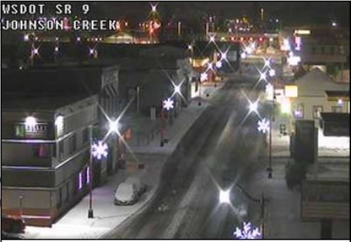
WSDOT traffic cameras operated were showing about two inches of snow in downtown Sumas, and in Lynden at Guide Meridian and Main Street.
Main roads had been plowed in Lynden at 4 a.m., but not in Sumas.
Roads were bare and wet and traffic was light elsewhere in lowland Whatcom County at 4 a.m.
Farther south, the National Weather Service and other sources were reporting 3 to 5 inches of snow, and road conditions were uncertain early Wednesday.
— Trooper Kelsey Harding (@wspd7pio) November 30, 2022
Power outages
About 3,000 Puget Sound Energy customers in the Geneva, Sudden Valley and Chuckanut areas south and east of Bellingham were without power early Wednesday, down from about 4,000 PSE customers in Whatcom County late Tuesday, Nov. 30.
Wind gusts peaked at 43 mph at Bellingham International Airport, according to National Weather Service data.
Fallen trees and branches were reported online and on social media across the county.
“We’re closely watching the forecast, as wind and heavy snow can cause tree branches to fall into power lines. Our crews are prepared and ready to deploy with assignments when outages occur and as soon as it’s safe to do so,” PSE said on its website in advance of the storm.
It was a different story in the Seattle area, however, where several inches of snow fell and about 100,000 PSE and Seattle City Light customers were without power at 3 a.m. Wednesday.
Hardest-hit areas include King, Kitsap and Thurston counties, where outages were caused mostly by fallen trees and limbs., PSE said.
Mountains
Snow was falling in the Mount Baker wilderness, and the Mt. Baker Ski Area reported 14 inches of snow in the past 24 hours.
Avalanche danger was considerable in the backcountry around Mount Baker, according to the Northwest Avalanche Center.
Mount Baker Highway was covered in snow and ice at 4:30 a.m., according to WSDOT.
Chains were required on cars without four-wheel drive.
SNOW: We have some flurries north of @CityOfFerndale & @City_of_Blaine, along Lake Samish in @Whatcomctygov, & in Burlington down to SR 532.
Chains are now required on all vehicles except AWD on SR 542 Mt Baker Hwy. https://t.co/HUySTGAkfk pic.twitter.com/uBPzXV286W— WSDOT North (@wsdot_north) November 29, 2022
