When will South Florida, Keys see the worst of Ian, and when will bad weather clear out?
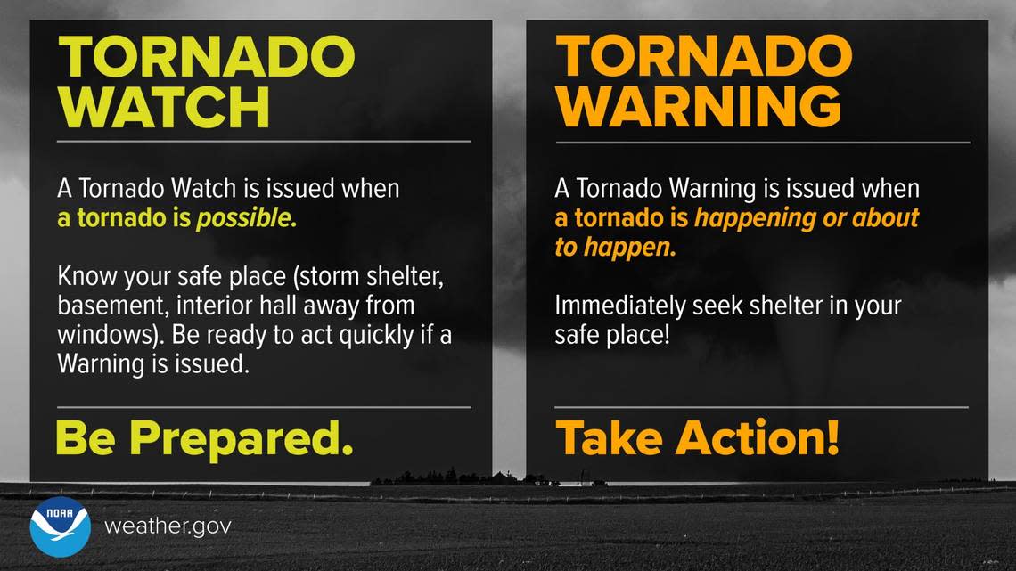
A tornado watch has been added to South Florida’s list of local weather worries associated with Hurricane Ian.
On Tuesday, the National Weather Service in Miami issued a tornado watch through 5 a.m. Wednesday for most of southeast Florida. Two tornadoes have already touched down in Broward, causing havoc in several cities including flipping several planes at North Perry Airport.
@wsvn North Perry Airport #ian #huricaneian #florida pic.twitter.com/32bmUAqUdD
— Capiloto (@CapitanCol) September 28, 2022
READ MORE HERE: Two tornadoes tear through Broward, while Ian hounds Florida as a major hurricane
All of South Florida — including Miami-Dade, Broward, Palm Beach and the Florida Keys — were under a tropical storm warning Tuesday ahead of Ian, which is forecast to make landfall near Sarasota area as a Category 4 hurricane some time Wednesday or Thursday morning, according to the National Hurricane Center.
TORNADO WATCH until 5PM for #SouthFlorida as we have the potential for tornadoes with some of the gusty squalls that move through. @CBSMiami #CBS4 pic.twitter.com/IalJg6Dv3Q
— Lissette Gonzalez (@LissetteCBS4) September 27, 2022

When will South Florida see the worst of Ian?
Wind watches and warnings were updated overnight to upgrade inland tropical storm watches to warnings and to expand tropical storm watches into Palm Beach county and portions of Broward and Miami-Dade. The main threat for TS winds in the watch area will be in gusts. pic.twitter.com/e35xHy54vH
— NWS Miami (@NWSMiami) September 27, 2022
Since Monday evening into Tuesday, we’ve already been getting the outer rain bands from Ian across South Florida, said meteorologist Larry Kelly of the National Weather Service in Miami.
Within those rain bands, heavy rainfall of 6 to 8 inches into Thursday can lead to flooding, including flash flooding. Wind gusts in these bands could run from 39 to 73 mph in some parts of South Florida and the Keys — the range of tropical storm winds.
READ MORE: Tropical storm warning for parts of South Florida
According to NBC6 meteorologist Adam Berg, Doppler radar estimates already showed six to seven inches of rain, and more had already fallen across portions of Miami-Dade and the Keys by early Tuesday afternoon.
Doppler radar estimates are already showing 6-7" and more have already fallen across portions of #Miami-Dade and the #Keys. We could easily see another several inches. Flood watch is in effect probably through at least Thursday morning. Stay with @nbc6 #Ian pic.twitter.com/oR7Fiw07bz
— Adam Berg (@AdamBergNBC6) September 27, 2022
“Conditions are going to deteriorate today and continue through Wednesday,” Kelly told the Miami Herald. “As we move throughout the day today and tomorrow, those bands will become more frequent, and the repeated rounds of heavy rain will then increase the flooding rain threat, and those gusty winds will become more frequent as [Ian] gets a little closer to the Florida peninsula. And then the other threat is, we’re on the favorable side of the system for tornadoes. So that threat is also getting an increase already here this morning.”
The threat from these possible tornadoes continues through Wednesday in South Florida and the Keys.
Not that many are planning on swimming or boating or sunning along our beaches, but hazardous marine and beach conditions are, of course, expected. There is a high risk for rip currents across all South Florida beaches, the weather service said. Dangerous surf conditions are expected along the Gulf coast into mid-week.
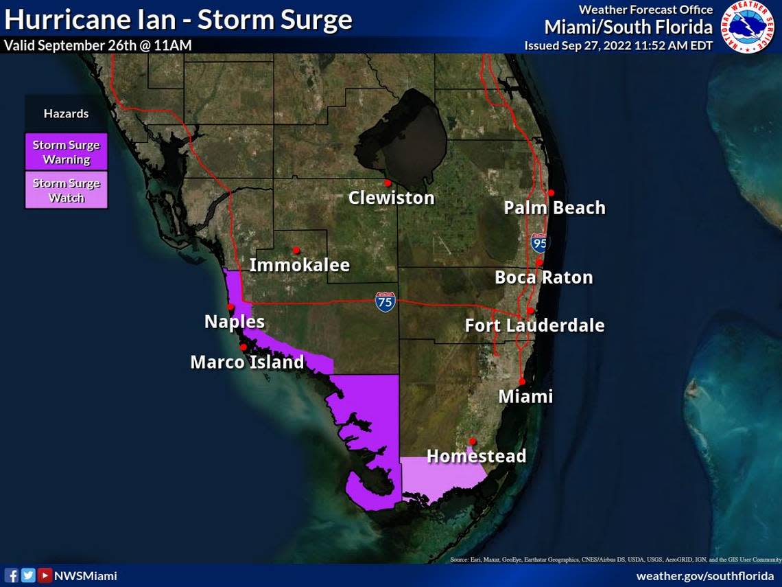
“Life-threatening surge” could have significant impacts along portions of Florida Bay in extreme far southern Miami-Dade County adjacent to Everglades National Park, the weather service warned Tuesday. “Minor impacts are possible along the southeastern coast of South Florida due to increased onshore flow and tides running above normal.”
When will weather improve across South Florida?
We will have to wait to see a clearing trend of South Florida’s nasty weather to begin Thursday, Kelly said.
“Those conditions will improve from south to north. The first to clear out will be the Keys and then Miami, and then as we work our way up the coasts throughout the day on Thursday, conditions will improve,” he said. Broward and Palm Beach counties could still see some tropical storm-force winds persisting into Thursday, according to the weather service.
On Wednesday, and even on Thursday, watch for flooded roadways, which could make driving hazardous. Don’t race through flooded streets and avoid them if you can.
“If you encounter flooded roadways, turn around, don’t try to drive through it. You don’t know how deep that water is that you’re about to drive through.”
South Florida Residents: The threat from impacts beyond the cone has increased for all of south Florida. Greatest concerns remain for SW Florida at this time. Stay informed and heed the advise of public safety officials. #flwx #Ian. https://t.co/DqQi50IIid pic.twitter.com/YZU18gDjSk
— NWS Miami (@NWSMiami) September 27, 2022
Weekend forecast
The South Florida forecast for Friday and the weekend improves significantly. The Keys only eyes a slight 20% chance of showers and thunderstorms from Friday night through Monday, with temperatures in the upper 80s and a low of around 80, according to the weather service.
Miami-Dade and Broward has a 70% chance of storms Thursday, with Broward potentially a bit rougher, dropping to 50% Thursday night and Friday and 30% Friday night. Storm chances are 40% Saturday and Sunday.
