Snow possible in Tri-Cities, with big chill coming. Weekend winter advisory for I-90 pass
A winter storm this weekend could make travel across the Washington Cascade mountains slow and could bring snow to the Tri-Cities.
The National Weather Service forecast a rainy Saturday, with possible snow in outlying areas of the Tri-Cities.
Sunday should be mostly sunny in the Tri-Cities.
But a 60% chance of rain and snow is forecast Monday before 2 p.m.
Precipitation could fall as snow as low as 600 feet, according to the weather service. Much of the Tri-Cities is at an elevation of 400 to 500 feet, with the elevation rising to 1,000 feet at Highway 395 and Interstate 82 interchange at the south edge of Kennewick.

By midafternoon Monday, the snow level should rise to 1,700 feet and precipitation will fall as rain.
Wet weather should stick around, with rain possible through the work week.
The weather service predicts highs in the 40s for most of the coming week, but temperatures are expected to be much colder late in the coming work week.
The Weather Channel forecast calls for overnight lows to drop into the single digits Friday and Saturday of the coming week, with highs in the upper teens by next weekend.
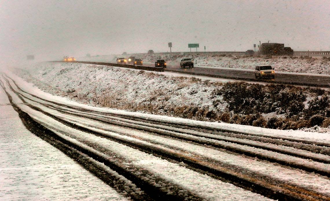
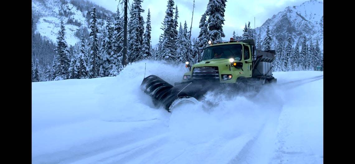
Snow on mountain passes
The weather service has issued a winter weather advisory for the upper slopes of the Eastern Washington Cascade Mountain crest, including Interstate 90 at Snoqualmie Pass through early Sunday morning.
Friday night heavy snow was forecast with gusty winds causing drifts. New snow accumulation of 4 to 8 inches was forecast.
Saturday travelers over the Cascade Mountains on I-90 were advised to be prepared for 3 to 7 inches of new snow and another 1 to 3 inches Saturday night.
Any snow Sunday should be light, before heavy snowfall returns on Monday and Tuesday, according to the weather service. Up to 9 inches of new snow is forecast on Monday.
A winter weather advisory also has been issued for Blue Mountains, including the Interstate 84 pass near Meacham, Ore.
On Saturday, travelers were advised to be prepared for 2 to 4 inches of new snow, with 1 to 3 inches more Saturday night, according to the weather service. Gusts of up to 22 miles could create snow drifts.
The weather advisory is set to expire at 10 a.m. Sunday. But more snow is forecast Monday through Thursday, possibly mixed with rain on Tuesday.
