Satellite images reveal massive wildfire burning on both sides of US-Canada border as towns evacuated
A satellite has captured the vast burn scar of a wildfire that impacted both sides of the United States-Canada border.
The fast-moving fire led to immediate evacuations of the town of Osoyoos and the Okanagan-Similkameen regional district in Canada this weekend.
The blaze, named the Eagle Bluff wildfire, ignited on Saturday southwest of the small town of Oroville, Washington state.
It swept towards Osoyoos in the Canadian province of British Columbia where it more than doubled in size overnight. The blaze destroyed 30 square kilometres (11.5 square miles).
The burn scar of the cross-border fire was captured by the orbiting Copernicus Sentinel-2 satellite of the European Space Agency on 31 July.
Residents of Osoyoos, which has around 5,000 residents, were allowed to return home on Tuesday.
It has been a relentless summer of wildfires across Canada with hundreds of blazes burning for weeks. Officials have warned that this could be the country’s worst wildfire season on record and that smoke would be a problem “all summer” – for both the US and Canada.
On Wednesday, 1,035 fires were burning in nearly every province and territory with more than half raging out of control, according to the Canadian Interagency Forest Fire Center.
Thousands of firefighters from around the world have flown into Canada to support local crews including from the US.
More than 5,000 fires have burned in Canada this year and destroyed 50,000 square miles (130,000 sq km) – an area roughly twice the size of Ireland.
The wildfire situation remained serious but less dire to the south. Some 67 large fires were burning across the US on Wednesday, according to the National Interagency Fire Center, destroying 600 square miles (1,553 sq km) in nine states including Montana, Oregon, New Mexico, Wyoming, California and Idaho.
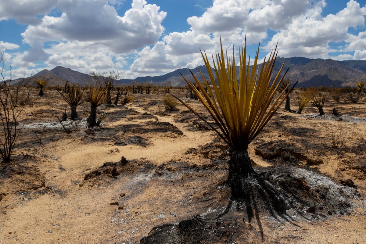
In California’s Mojave National Preserve, firefighters were battling to contain the York Fire, the state’s largest blaze of the year, which broke out last Friday.
The massive blaze, which has swept through the fragile desert ecosystem and across the Nevada border, is threatening the area’s iconic Joshua trees.
On Wednesday, it had burned through more than 128 square miles (333 sq km) and was 30 per cent contained, fire officials said.
US authorities warned that prolonged heatwaves, with temperatures frequently soaring into triple digits, combined with high winds was increasing the fire threat nationwide.
The climate crisis, caused by emissions from fossil fuels, is driving larger, more frequent and erratic wildfires around the world. Many countries are becoming hotter and drier, priming more of the landscape to burn.
