More storms heading our way. What it means for Memorial Day weekend in Kansas City
Bouts of showers and thunderstorms are likely in the Kansas City area this holiday weekend, making it a wet start to the unofficial start of summer.
Before the storms arrive, the metro will be sunny and warm on Thursday, according to the National Weather Service. Temperatures will be in the low to mid-80s, and winds will be light, between 6 and 11 mph, although gusts could reach as high as 20 mph. Temperatures in Kansas City typically are around 78 degrees this time of year.
This has been a usually warm spring, including March, April and May. While the metro has been spared early-season heat, this spring has been the 10th warmest on record with an average temperature of 56.3 degrees, the weather service said on X, formerly known as Twitter.
Kansas City has yet to have a 90-degree day this year. The warmest it’s been is 86 degrees, which occurred twice in April and twice so far this month.
Stormy weather moves into Kansas City
Storms will likely develop late Thursday into early Friday morning along a cold front approaching the Kansas City region.
A line of thunderstorms is expected to move into northwest Missouri around 3 a.m. Friday. The line of storms should move east and southeast through the area throughout the morning, the weather service said.
The storm’s main threat is wind gusts between 60 and 70 mph.
The weather service’s Storm Prediction Center has placed the Kansas City area under a slight risk of severe storms. Areas northwest of Kansas City into Nebraska have a greater chance of seeing severe weather. An additional round of strong storms may develop Friday afternoon toward central Missouri.
Between .75 to an inch of rain is expected across the area, although northwest Missouri could see higher amounts. Some areas could see 2 inches of rain over 24 hours ending Friday evening.
Temperatures are expected to be in the upper 70s. Skies are expected to clear out overnight.
More storms in Memorial Day weekend forecast
The weather will begin sunny on Saturday, with temperatures climbing to around 80 degrees. There will be a slight chance for showers and thunderstorms, mainly after 1 p.m. The chance of precipitation is 20%.
An additional round of strong to severe thunderstorms are possible overnight into Sunday. Large hail and damaging wind gusts will be the primary hazards. The threat of a tornado is low on Saturday.
If the storms stall or pass over the same areas, heavy rainfall, with the potential for localized flooding, will be possible. Between one and two inches of rain is likely.
Showers and thunderstorms are possible on Sunday. However, the skies will be partly sunny, and temperatures will climb into the upper 70s. The chance of precipitation is 60 degrees.
On Memorial Day, skies will be mostly sunny, with temperatures in the mid-70s.
Weather watches and warnings
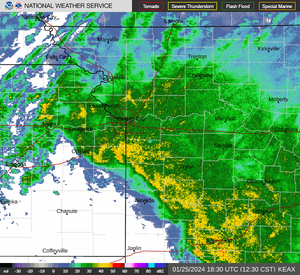
A live data feed from the National Weather Service containing official weather warnings, watches, and advisory statements. Tap warning areas for more details. Sources: NOAA, National Weather Service, NOAA GeoPlatform and Esri.
