Rain forecast in Oregon for next 8-14 days as wetter, cooler conditions return
Rain is finally returning to Oregon.
After an extended dry period, upwards of an inch is possible in the Willamette Valley from Thursday into the weekend, while 1-2 inches of rain is possible in the Coast Range and Cascade mountains.
“This is a pretty typical spring pattern for us in April,” National Weather Service meteorologist Clinton Rockey said. “It’s nothing crazy, but it will keep us pretty cool, cloudy and wet for the next week and a half.”
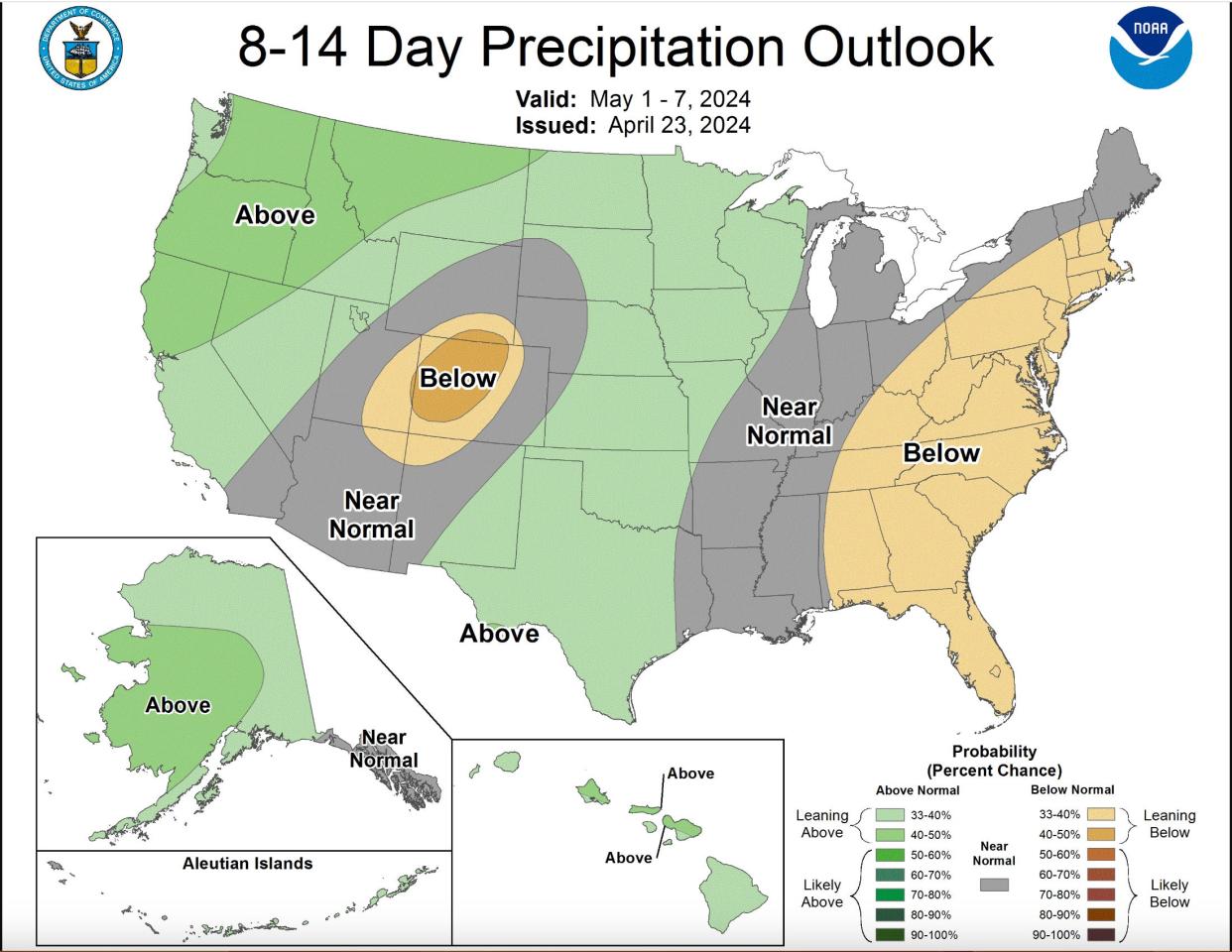
Indeed, Oregon’s long-range forecast shows cooler and wetter conditions favored for the next 8-14 days. But that’s not really bad news.
The rain should provide a boost for flowers and plants, slow the melt of mountain snowpack and help reservoirs continue to refill.
At least half-inch of rain forecast Thursday for Willamette Valley
The wettest day is likely Thursday, with upward of a half-inch of rain falling in the Willamette Valley and nearly an inch in the mountains. Into the weekend, it’s mostly expected to be scattered showers.
“With the exception of Thursday, where we’ll get some real rain, it’s nothing too potent,” Rockey said. “The main thing that’s changed is we’re just getting more systems in from the ocean.”
Will there be snow in the mountains?
Oregon’s Cascade mountain passes could see a dusting of snow, and maybe an inch or two at night, but it’s mostly expected to be rain, Rockey said.
It's unlikely to impact driving much. Due to the rain, some ski areas such as Hoodoo, on Santiam Pass, have said they're not sure whether they'll be open for a final day on Saturday.
Water exactly normal for the year so far
Overall, Oregon is exactly normal for the amount of precipitation, although that can change from location to location.
Salem has gotten 35.35 inches of rain for the water year (since Oct. 1), which is about 2 inches above the normal of 33.91 inches for this time of year.
Eugene is slightly below normal at 32.68 inches, compared to a normal of 34.46 inches, while Portland is above average at 33.53 inches, compared to a normal of 29.66 inches.
Snowpack just a shade below normal
Oregon’s snowpack has shrunk somewhat and is now 87% of normal overall. The western slopes of the Cascades are doing somewhat better, sitting at 91-98% of normal, while much of central and eastern Oregon is 70-80% of normal.
Detroit Lake needs little boost to reach full pool
As reservoirs across the state fill, a little extra water should go a long way toward reaching full pool in places such as Detroit Lake. The popular recreation site east of Salem is currently 1,548 feet above sea level, with another 10 feet to go before reaching “full pool” at 1,558.5 feet. This rain could help it get closer.
Zach Urness has been an outdoors reporter in Oregon for 15 years and is host of the Explore Oregon Podcast. Urness is the author of “Best Hikes with Kids: Oregon” and “Hiking Southern Oregon.” He can be reached at zurness@StatesmanJournal.com or (503) 399-6801. Find him on X at @ZachsORoutdoors.
This article originally appeared on Salem Statesman Journal: Rain, cooler conditions forecast in Oregon for next 8-14 days
