Powerful storms possible this Memorial Day weekend. Here’s what to expect
It could be a stormy Memorial Day weekend in the Kansas City area, and multiple rounds of severe weather will be possible, according to the National Weather Service.
Although the storms will dampen some plans for the holiday weekend, which some consider the unofficial start of summer, it will not be a washout.
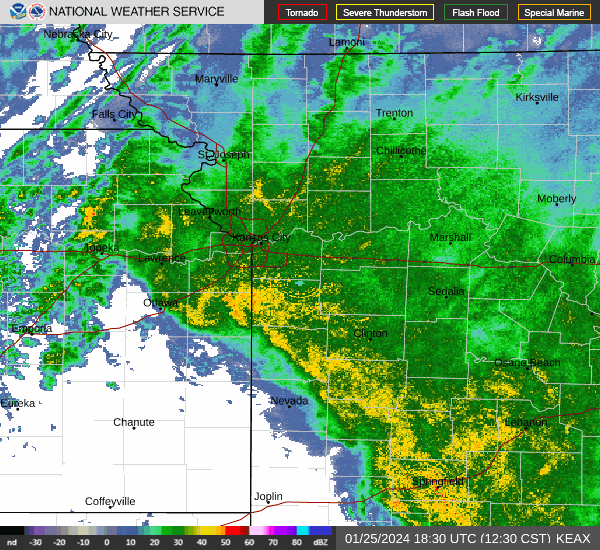
Early Friday, storms were moving across northwest Missouri, including Kansas City’s Northland, but were weakening as they moved east.
An approaching cold front causing the stormy weather should move through the Kansas City metro by 10 a.m., bringing additional isolated to scattered showers, the weather service said in its forecast discussion.
The weather service said the cold front will extend along a line from Kirksville down to Sedalia by afternoon. With daytime heating, a few stronger storms could develop along the front, but they will quickly move eastward, leaving the Kansas City forecast area and entering the St. Louis and Springfield areas.
Temperatures are expected to climb into the upper 70s on Friday. Overnight, skies will clear, and temperatures will fall into the mid-50s. The range of temperatures is typical of what Kansas City sees this time of year.
Strong to severe storms in weekend forecast
Saturday will start sunny, with temperatures climbing to 80 degrees in the afternoon. Winds will be between 5 and 11 mph, gusting as high as 20 mph.
Powerful thunderstorms are expected to develop late afternoon over Oklahoma and Kansas and possibly transition into clusters or a line of storms, the weather service said.
The weather service said these storms will approach the Kansas City area and likely move through the region from west to east after midnight into early Sunday.
The weather service’s Storm Prediction Center has placed the Kansas City metro at an enhanced risk for severe weather. The main threats are damaging winds gusting up to 70 mph and large hail up to the size of golf balls. The tornado threat is low but not zero. There will also be a risk for moderate to heavy rainfall.
Additional storms are possible in the afternoon, especially toward central and northeastern Missouri. However, the weather service said the afternoon storms are conditional on how the storms Sunday morning play out.
Northeast and central Missouri face a greater risk and are under an enhanced risk of severe weather. Kansas City is at a slight risk.
Memorial Day weather
After a stormy weekend, things will begin to calm down.
“The active weather pattern should finally become more tranquil after Sunday,” the weather service said.
Memorial Day will be sunny and dry, with temperatures in the upper 70s during the day and the upper 50s overnight under clear skies. Dry weather will prevail on Tuesday and Wednesday, with temperatures in the mid-70s to lower 80s.
The chance of storms returns on Thursday.
Weather watches and warnings
A live data feed from the National Weather Service containing official weather warnings, watches, and advisory statements. Tap warning areas for more details. Sources: NOAA, National Weather Service, NOAA GeoPlatform and Esri.
