Northern California faces blizzard warning and possible avalanches in Tahoe region
Brace yourself, Northern California.
The Sierra Avalanche Center in Truckee has issued a backcountry avalanche watch in effect from 7 a.m. Friday to 5 p.m. Sunday for the Sierra Nevada, including the greater Lake Tahoe area.
The Sierra Avalanche Center in Truckee has issued a Backcountry Avalanche Watch for the Central Sierra Nevada Mountains, which includes the Greater Lake Tahoe area. HIGH to EXTREME avalanche danger may occur Fri AM-Sun PM. Consult https://t.co/4AfuEUf56B for more information. pic.twitter.com/5UVhCGO5lF
— NWS Reno (@NWSReno) February 29, 2024
The center’s daily forecast, which ranks avalanche risks on a scale of 1 to 5, shows Thursday’s avalanche danger is at a 3, or “considerable,” in the backcountry areas of the High Sierra.
“Gale force winds will form slabs of wind-blown snow along ridges, gully features, and in exposed areas,” the forecast reads. “High intensity snowfall this afternoon will cause slabs of storm snow to form. “
The avalanche danger is expected to increase later Friday evening.
Blizzard warning for Lake Tahoe region
Subcontractor Anthony Dixon eyed nearly complete cabinets Thursday in El Dorado County despite the threatening storm clouds hovering above, sending gusts whooshing through trees.
Dixon wound through Highway 50, as light flurries scattered around him, to finish repairs on a home gutted during the 2021 Caldor Fire. Despite the potential record-breaking storm set to roll in Thursday afternoon, Dixon kept in mind families still using sleeping bags as beds and wanted to make headway.
“These people really want their house back,” Dixon said. He later added, “(I’d like to) get them back in their house so they can enjoy it and have housewarming parties, have the kids over and all that jazz.”
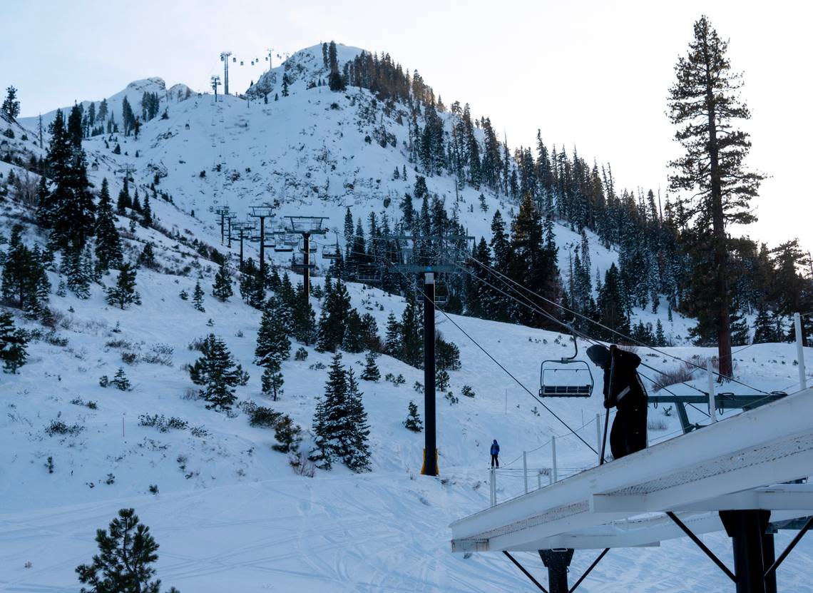
A blizzard warning is in effect for most of eastern California and the greater Lake Tahoe region through 10 a.m. Sunday. The warning stretches from the Oregon border to the southern Sierra and includes communities around the Tahoe basin, like Kings Beach and South Lake Tahoe.
A Blizzard Warning is in effect for areas above 2000 ft today-Sunday. Conditions will begin to deteriorate quickly in the mountains this afternoon, with high winds and heavy snow causing white out conditions at times. Travel is HIGHLY discouraged!! #CAwx pic.twitter.com/3dC8ZO9W7o
— NWS Sacramento (@NWSSacramento) February 29, 2024
Between 2 and 5 feet of snow are expected for communities around the lake with gusts around 60 mph; snow levels above 7,000 feet elevation could reach 4 to 8 feet with gusts at around 110 mph.
“A Blizzard Warning means severe winter weather conditions are expected or occurring,” the advisory said. “Falling and blowing snow with strong winds are likely.”
This could potentially lead to whiteout conditions, making power outages possible and travel conditions dangerous.
Some area residents maintained life still goes on despite the intense weather activity — and that preparation is key to ensure a smooth weekend.
What is a blizzard?
Blizzards are not like regular snowstorms.
They occur when snow is accompanied by strong winds over 35 mph.
With the snow being dry and powdery, visibility could drop to less than a quarter-mile for at least three hours, making it tough for drivers to see the road.
What’s in the forecast for Tahoe?
Cloudy skies, snow and severe gusts are in the forecast for the Greater Lake Tahoe area.
Tonight’s forecast shows heavy snow. Up to 17 inches is predicted for areas above 7,000 feet with gusts up to 115 mph. Temperatures will range from 21 to 31 degrees.
On Friday, up to 11 inches of snow is expected for the Tahoe basin with gusts reaching up to 60 mph. Up to 12 inches of snow is predicted for areas above 7,000 feet with gusts up to 135 mph. Temperatures will range from a low of 18 degrees to a high of 39.
Saturday’s temperatures will range from a low of 13 degrees to a high of 31. Heavy snowfall is expected throughout the day and into the evening. Around the lake, gusts will reach up to 55 mph. In higher elevations, gusts could reach 135 mph.
Sunday will likely see snow with brisk winds. Temperatures will range from a low of 12 degrees to a high of 35 degrees.
What’s in the forecast for Sacramento?

A wind advisory will be in effect from 10 a.m. Friday to 10 a.m. Saturday for the Southern Sacramento Valley and Northern San Joaquin Valley, including the cities of Sacramento, Fairfield, Suisun, Stockton, Modesto, Grass Valley and Jackson.
Gusts are expected to range from 20 to 50 mph.
“Gusty winds could blow around unsecured objects,” the advisory says. “Tree limbs could be blown down and a few power outages may result.”
Along with gusts, rain is in the forecast for Sacramento.
Tonight’s forecast shows mostly cloudy skies with a 70% chance of rain. Up to a quarter of an inch of rain is possible. The low will be around 47 degrees, and gusts could be as high as 24 mph.
On Friday, there is an 80% chance of rain with possible thunderstorms after 4 p.m. Up to half an inch of new rainfall is predicted. Gusts could reach up to 43 mph. The high will be near 56 degrees and the low will be around 45.
Saturday’s forecast shows a 90% chance of precipitation with possible thunderstorms throughout the day and into the evening. Gusts could reach up to 28 mph. Temperatures will range from a high near 53 degrees and low near 41.
Sunday will see partly sunny skies with a 40% chance of showers. The high will be near 55 degrees and the low will be around 40.
The Bee’s Ishani Desai contributed to this story
What do you want to know about life in Sacramento? Ask our service journalism team your top-of-mind questions in the module below or email servicejournalists@sacbee.com.
