Video: See the Salinas River flow 2 feet above flood stage through Paso Robles
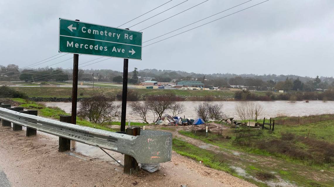
The Salinas River surpassed flood stage Monday, filling to beyond its banks and threatening nearby homes as a severe storm system rolled over San Luis Obispo County.
Click on the video above to watch the waters rush by the Niblick Road bridge. A flash flood warning remains in effect until midnight for SLO County.
Between 2 and 6 inches of rain fell during the storm that began Sunday and lasted through Monday, with up to a foot of rain in the higher terrain, according to the flood warning issued by the National Weather Service.
As of 6:15 p.m. Monday, the Salinas River was at 31.2 feet in Paso Robles — more than 2 feet above flood stage of 29 feet, according to the NWS’s Advanced Hydrologic Prediction Service.
Evacuations were issued for multiple neighborhoods along the Salinas River in Paso Robles on Monday afternoon as the river rose. Those evacuations include Riverbank Lane residents and some residents near Larry Moore Park south of the Walmart shopping center.
For information on evacuation centers, go here.
To the south of Paso Robles, Santa Margarita Lake (also known as Salinas Reservoir) was overflowing at 108% as of 11:30 a.m. Monday.