More snow set to hit KC Tuesday night could make for hazardous travel: weather service
After waking up to a dusting of snow Sunday morning, Kansas Citians will likely see another winter storm hit later this week.
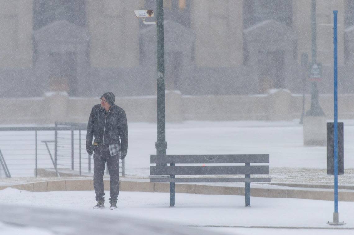
The Kansas City metro could get at least one inch of snow beginning Tuesday night into Wednesday morning, according to the National Weather Service.
What could begin as rain will likely turn to snow before midnight Tuesday, dropping up to two inches of white powder on the metro, the weather service predicts.
The snow accumulation totals are expected to increase in southern Missouri, with the heaviest totals gathering south of the Interstate 44 corridor.
The weather system could affect travel across the region on Wednesday morning, the weather service tweeted.
Another winter storm will move through the region Tue PM - Wed. Accumulating snow is possible through the KC area however, the heaviest snow will be along and south of the I-44 corridor. Travel may be impacted Wednesday morning across the region with this system. pic.twitter.com/dlQecmPud1
— NWS Kansas City (@NWSKansasCity) January 22, 2023
Ahead of the forecast snow, Monday and Tuesday are expected to warm up slightly, with highs in the low 40s.
On Wednesday, the high will be in the mid-30s, with temperatures likely staying below freezing on Thursday.
