High river flows and flooding will remain a threat for months in Stanislaus County
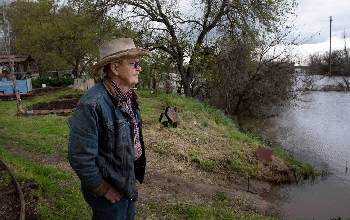
Ray Washburn, who lives on Ash Avenue, adjacent to the San Joaquin, said the river level went down four inches Thursday, despite previous forecasts this week that it would slightly increase.
“We are still good,” Washburn said.
Washburn said his home sits up a little higher than neighbors. He said the man who sold him the property 45 years ago said it was once a landing for steamboats that plied the river in the 1800s.
“It’s the highest I have seen the river in my lifetime,” Washburn said.
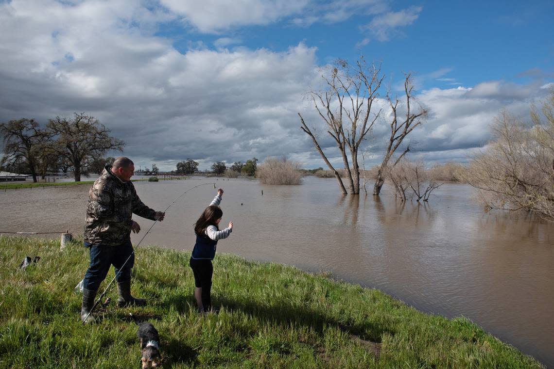
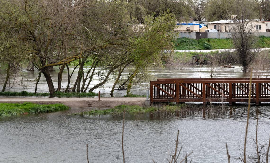
The San Joaquin River near Patterson can’t carry much more water without flooding outside its banks.
Nearby residents, watching the river level and the online forecasts Wednesday, were aware the San Joaquin near the Las Palmas Avenue bridge was expected to rise half a foot Thursday because of runoff coming out of Yosemite and the southern Sierra.
“The water is coming up tomorrow,” said Bonnie Washburn, who lives on Ash Avenue adjacent to the river. She expected to know Thursday if the water creeps close enough to the home for her and her husband, Raymond, to leave.
“If we make it through tomorrow, then we will worry about the melting snow. There is a lot of snow up there,” Bonnie Washburn said.
The forecast that the river would rise ended up being wrong. Ray Washburn said the level went down 4 inches Thursday. “We are still good,” he said.
Washburn said his home sits up a little higher than those of neighbors. He said the man who sold him the property 45 years ago said it was once a landing for steamboats that plied the river in the 1800s.
A small breach on a levee, which occurred Monday within a mile north of the Washburns’ home, was mitigated by work crews Tuesday night, a Stanislaus County emergency services spokesman said.
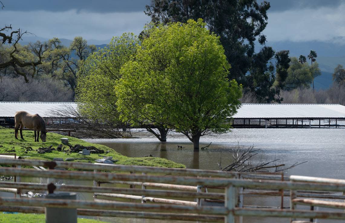
The Tuolumne River in Modesto and the San Joaquin in western Stanislaus County are expected to keep running high for months because of the huge snowpack in the Sierra.
Snowfall in the Tuolumne River watershed is more than 200% of average this season. The snow has a high water content that’s expected to produce 2.7 million acre-feet of water. All that water will come down the rivers this spring and summer.
“The Tuolumne River (in Modesto) is going to be running high through the summer,” said Josh Weimer, a spokesman for the Turlock Irrigation District, co-owner of Don Pedro Reservoir. Weimer said a normal year produces 1.9 million acre-feet of water in the Tuolumne watershed.
Releases from Don Pedro to reserve space in the reservoir have kept the river level in Modesto a half foot below flood stage, and that might not change much after the recent parade of storms finally passes.
“It will be elevated because of how much snowpack there is,” Weimer said.
Local agencies will remain in a perpetual state of alert to make sure river levees are holding and to quickly respond to problems.
Sheriff’s Deputy Raj Singh, a spokesman for the county Office of Emergency Services, said the small levee breach on the San Joaquin, north of the Las Palmas Avenue Bridge, and a boil on the Tuolumne River, just west of the Shiloh Road bridge, were both repaired as of Tuesday night.
Singh said there are patrols on the levees to keep an eye out for problems. Stanislaus County has evacuation shelters at the Turlock fairgrounds, 900 N. Broadway Ave., and the Salvation Army Red Shield center, 1649 Las Vegas St., in Modesto.
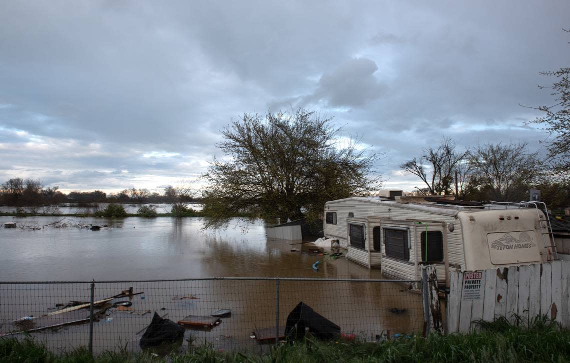
In San Joaquin County, a residential area and mobile homes adjacent to the San Joaquin River near Manteca have been under evacuation orders.
The Fresno Bee reported that the San Joaquin River downstream from Friant Dam is running high as the U.S. Bureau of Reclamation tries to make room for the spring thaw in the mountains.
Patterson Mayor Michael Clauzel has been posting river forecasts on his official Facebook to inform residents in and around the small city.
“I don’t anticipate flooding based on the projections I have seen online,” Clauzel said Wednesday. “We are in constant contact with Stanislaus OES and I’m sure the regional authorities will let us know if the situation changes.”