Chance of snow predicted Sunday in south Puget Sound. How much and when will it be over?
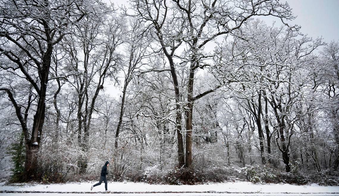
Following a week of snowy and icy weather in the south Puget Sound area that closed schools and closed a stretch of a state highway in Pierce County, there is a slight chance snow may return Sunday in Tacoma and Olympia, according to the National Weather Service forecast.
For both Tacoma and Olympia, there is a chance of rain and snow showers between 11 a.m. and 5 p.m. Sunday. The chance of precipitation is 30 percent. Little or no snow accumulation is expected, the forecast predicts. Sunday will be cloudy with a high near 37 degrees in Tacoma and will be mostly cloudy with a high near 39 in Olympia.
There is also a slight chance of rain and snow showers after 5 a.m. Sunday in Tacoma and Olympia.
Sunday night will also have a slight chance of rain and snow showers before 11 p.m. in the south Puget Sound. Otherwise, it will be mostly cloudy with a low around 31 in Tacoma and 27 in Olympia
Saturday will be mostly sunny with a high near 41 in Tacoma, and sunny with a high near 43 in Olympia, the NWS says.
In Tacoma, it will be partly sunny with a high near 38 on Monday. In Olympia, it will be mostly cloudy with a high near 41. Showers may return Monday night in the south Puget Sound, according to the NWS. There is also a chance of showers Tuesday and Wednesday.
South Puget Sound had some snow showers Friday night. Gig Harbor picked up an inch of snowfall, Olympia had a half inch to an inch of snowfall, and Tacoma had about an half of an inch by Saturday morning.
Tacoma and Olympia were cleared from the hazardous weather condition warning as of Saturday morning.
