Should Bourne start now to review land reuse impact of canal bridge replacement?
BUZZARDS BAY — Planning Board member Patricia Nemeth received lukewarm support from her colleagues when she suggested it might be time to consider the ramifications of land reuse impacts from new canal bridges.
The idea to review new bridge plans and how they will impact properties on both sides of the canal come at a time when board Chair Dan Doucette said he wants members to concentrate on more timely issues for an October special Town Meeting warrant.
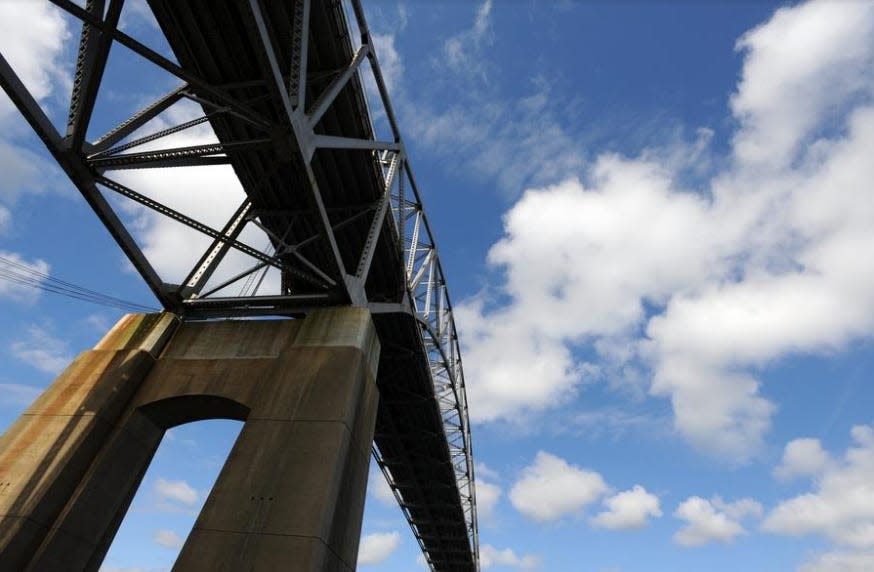
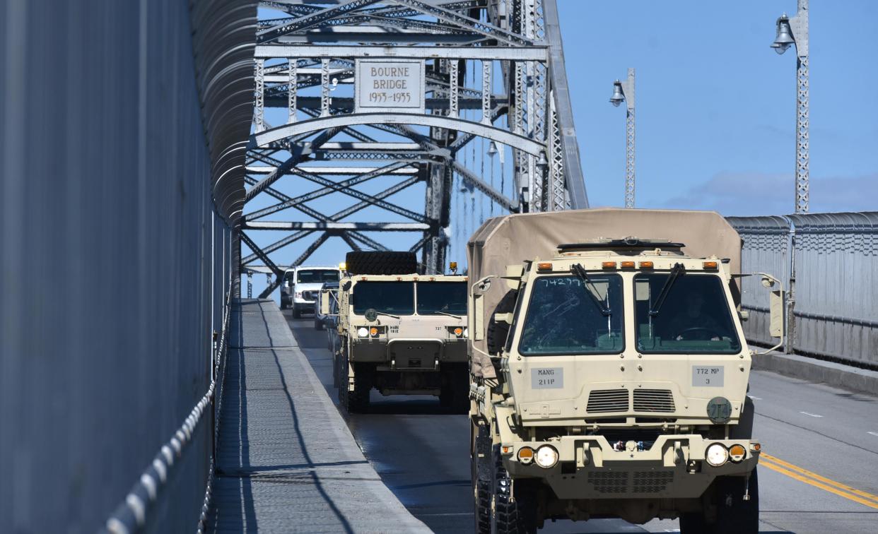
Planning not yet definitively shared at the state level, but discussed locally, involves new Bourne and Sagamore bridges being constructed inside the current spans. The current bridges date to the mid-1930s.
Bridge projects impact businesses, homes
This would involve roadway realignments on both sides of the waterway, influence on Bourne Scenic Park in Buzzards Bay, the loss of houses in South Sagamore and elimination of the Dunkin’ Donuts at the Bourne Bridge as well as the effect on the Market Basket parking lot at Sagamore.
There have been local assurances, however, that state officials will provide Bourne with a seat at the table when information about the new spans begins to flow.
More: State wants towns like Bourne near MBTA stations to add more multi-family zoning
Nemeth agrees adjacent land use issues still in the making “are not a short-term emergency, but I think it’s a topic worth taking a look into the maps, the uses and the bylaws,” she said on June 23. “Do they help us adapt as we morph into upcoming issues?”
Doucette said the idea is “worthy,” adding there are complications. One, he said, involves information derived from hearings conducted by the state Department of Transportation because they were virtual sessions and not terribly interactive in terms of public involvement.
Some say too soon to begin reviewing impact
“We can request information all still in draft form,’’ Doucette said. “We can look into that. But I’d like members to think about issues we can prepare for October.”
He said the state has compiled information on canal region roadways and how they might change in new bridges planning, but there are no specifics.”
“We kind of know where they’re going,” Doucette said in reference to state planners. “We just don’t know the roadwork or how far it extends down the Mid-Cape (Route 6) or down into Falmouth.”
Board member Chris Farrell said much of what the state contemplates is still “conceptual” and transportation officials still have to provide “some sort of layout” that would help local planners review and explore upcoming land-use changes in Bourne.
“We don’t have a clue yet about that,” Farrell said. “MassDOT is one of the worst state agencies in the commonwealth,” he said in terms of sharing key information about projects in timely fashion. “We have nothing they’re willing to share yet because they’ve been conceptual about where the bridges will go.
“There’s nothing firm yet so we can’t review yet the surrounding areas until we have something,” he said. “If they come out with something and then start construction within 15 years, I’ll be shocked.”
More: Sagamore, Bourne bridges have brought prosperity, loyalty and now worries to Cape Cod
Bourne is no stranger to past state and federal plans to expedite motoring across the canal. All involved considerable property implications, roadway realignments and land takings. Ideas date back to the late 1950s with a bridge across Buttermilk Bay to ease traffic volume and flow from the old Cranberry Highway approach to the Cape.
Another plan called for a cross Bourne highway from Wareham to Route 3 southbound in North Sagamore. Still another had a new highway stretching from the end of Route 25 in the late 1960s to the ridge above the canal and a new bridge across the waterway in Bournedale.
The most controversial highway plan involved splitting Grazing Fields Farm in half as a new approach to the Bourne Bridge during the 1970s, an effort championed by Town Hall but successfully fought all the way to federal court by the farm-owning Ingersoll family. Grazing Fields at Buzzards Bay, with new ownership, remains intact.
This article originally appeared on Cape Cod Times: Bourne planners mull early start on reviewing canal bridge impacts
