National Weather Service issues winter storm warning through Monday evening
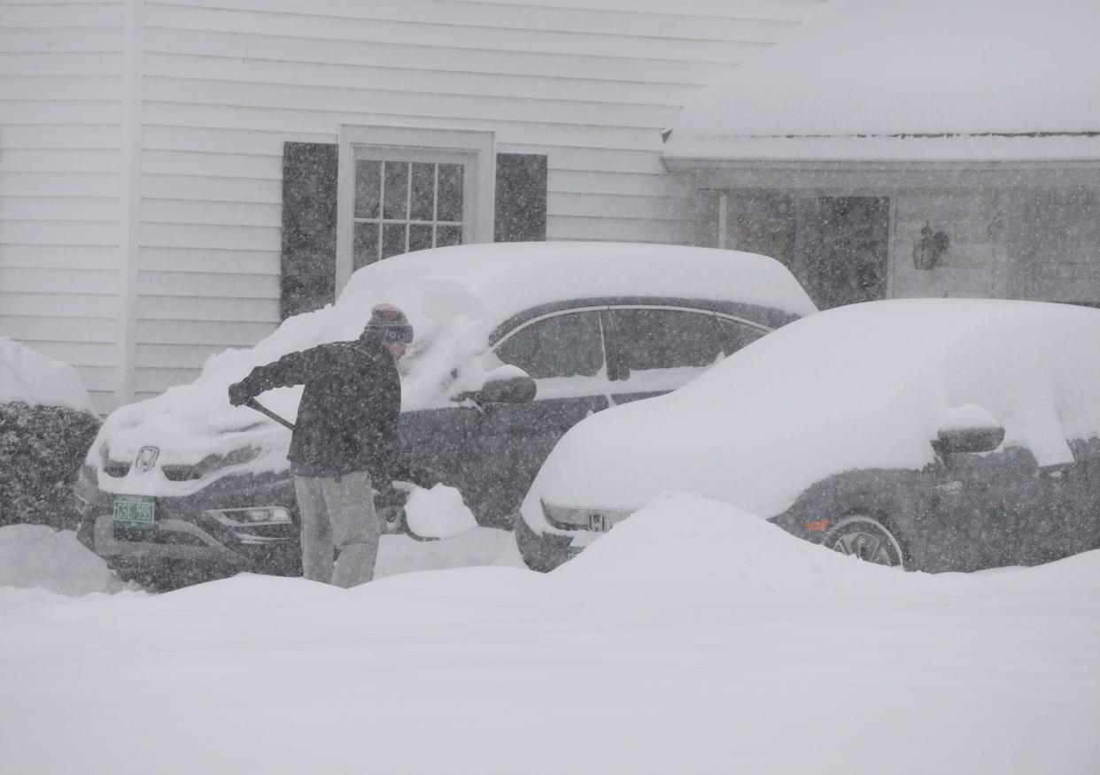
Burlington area residents should be prepared for some heavy snow to start off their week with the National Weather Service forecasting up to 10 inches or more through Monday evening.
The weather service has issued a winter storm warning from 10 p.m. Sunday to 7 p.m. Monday.
"An impactful winter storm will affect the region tonight into Monday," the weather service wrote on a Facebook post that went up Sunday morning. "Expect very difficult travel and possible power outages. The precipitation will start as rain during the day today before changing to snow late tonight. The Monday morning commute will be very difficult."
How much snow will Burlington get?
The forecast calls for rain Sunday afternoon turning to snow after midnight with 2 to 4 inches of accumulation possible.
The Monday forecast reads: "Snow likely before 7 p.m., then snow showers likely between 7 p.m. and 1 a.m. Mostly cloudy, with a low around 21. West wind 7 to 15 mph. Chance of precipitation is 60%. New snow accumulation of less than one inch possible."
What's the difference between a winter storm watch and warning?
Here's how the National Weather Service defines different categories of weather forecasts:
Winter weather advisory: Issued for any amount of freezing rain, or when 2 to 4 inches of snow (alone or in combination with sleet and freezing rain) is expected to cause a significant inconvenience, but not serious enough to warrant a warning.
Winter storm watch: Issued when there is the potential for significant and hazardous winter weather within 48 hours. It does not mean that significant and hazardous winter weather will occur ... it only means it is possible.
Winter storm warning: Issued when a significant combination of hazardous winter weather is occurring or imminent. Significant and hazardous winter weather is defined as a combination of: 5 inches or more of snow/sleet within a 12-hour period or 7 inches or more of snow/sleet within a 24-hour period AND/OR enough ice accumulation to cause damage to trees or powerlines AND/OR a life-threatening or damaging combination of snow and/or ice accumulation with wind.
This story may be updated.
This article originally appeared on Burlington Free Press: Burlington, Vermont, area to see winter storm, snow, tough commute
