Is more snow coming to Tahoe this week? How much has fallen already? Here’s the latest
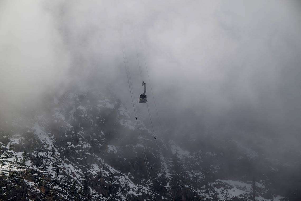
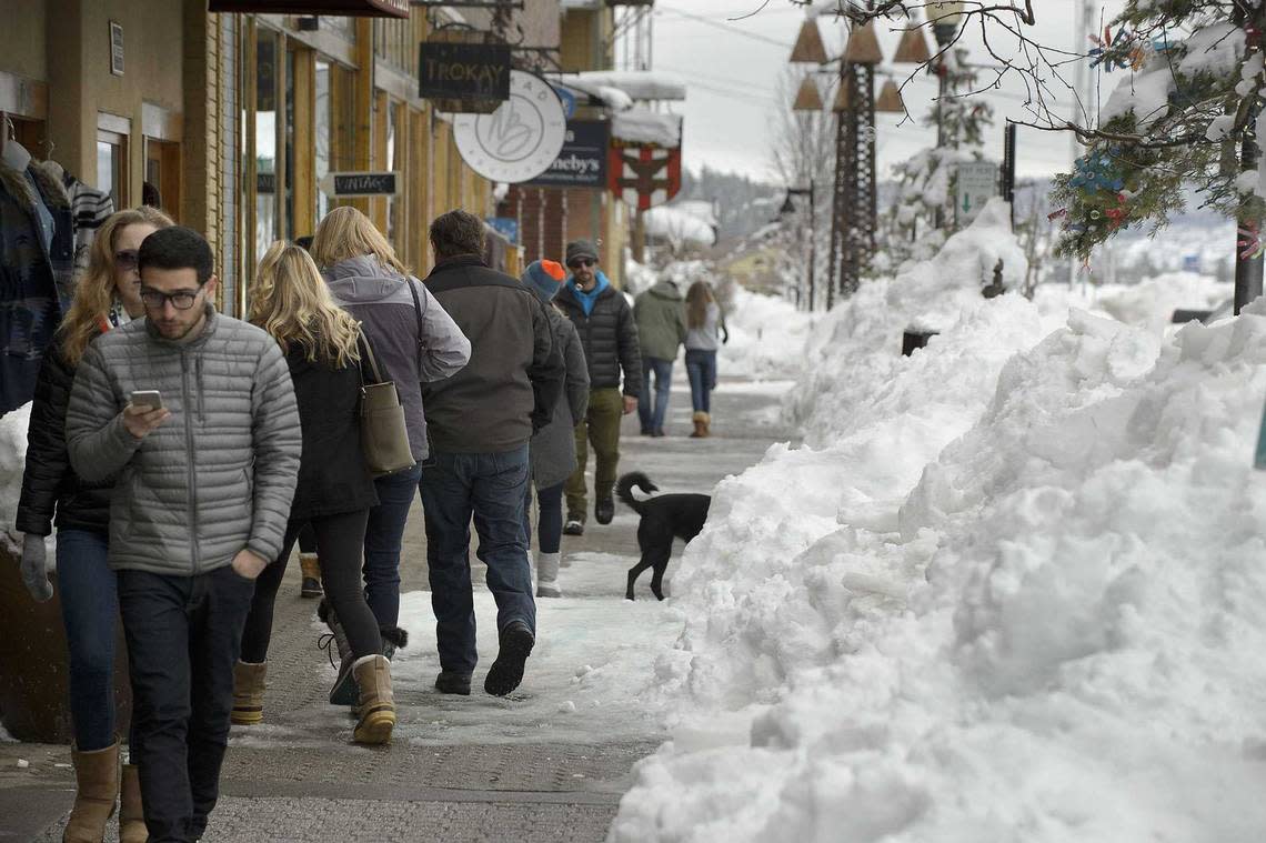
As the Northern California blizzard finishes running its course, weather conditions and travel restrictions are beginning to clear in the Tahoe region — but the snow isn’t over quite yet.
According to the National Weather Service, more snow is in the forecast for the South Lake Tahoe and the Greater Lake Tahoe area this week.
Here’s what to expect:
How much snow has fallen so far?
In the past 24 hours, the UC Berkeley Central Sierra Snow Laboratory — located at Donner Pass — reported approximately 12 inches of snowfall.
“That brings our storm total to 75.2 (inches),” the Central Sierra laboratory wrote on X, formerly called Twitter.
That’s more than 6 feet of snow this week.
3/4/24 8:30am Update:
We received 11.6" (29.5 cm) of #snow in last day. That brings our storm total to 75.2" (191 cm; ~6'3").
We are above median to date for precip, snowfall, and snow water equivalent (SWE). We are also at 98% of our seasonal median peak SWE!#CAwx #CAwater pic.twitter.com/7HcxeZJPKE— UC Berkeley Central Sierra Snow Lab (@UCB_CSSL) March 4, 2024
As of Monday morning, here’s how much snow has fallen at Tahoe’s ski and snowboarding resorts so far this season, according to their websites:
Sugar Bowl Ski Resort: 287 to 391 inches
Kirkwood Mountain Resort: 290 inches
Heavenly Mountain Resort: 194 inches
Palisades Tahoe: 321 inches
Mt. Rose Ski Tahoe: 256 to 326 inches
Northstar California Resort: 281 inches
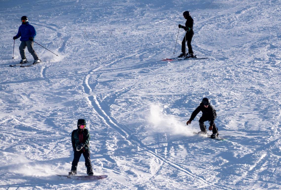
Several resorts were closed due to blizzard conditions over the weekend, but some have begun to re-open.
Palisades Tahoe, Kirkwood and Sugar Bowl are among those now open for operation.
Avalanche forecast shows ‘considerable’ danger
According to the Sierra Avalanche Center’s daily avalanche forecast, which ranks avalanche risks on a scale of 1 to 5, Monday’s avalanche danger is at a 3, or “considerable,” in the backcountry areas of the Sierra.
“Continued strong winds will make slabs of wind-blown snow exist in many areas today,” the forecast says. “Storm slabs will continue to be a concern within the recent deep snow we received.”
What causes an avalanche?
While avalanches can occur at any elevation due to heavy amounts of snow layered upon a slope, people could also potentially trigger an avalanche when traveling below or near a heavy snow-packed slope.
“While the natural avalanche cycle is coming to an end today, large human triggered avalanches remain likely,” the forecast says.
Ski resorts across California have preventative measures to minimize avalanche danger, including explosives, cutting the snow with skis, checking snow pits and studying the slopes, according to the Ski California website.
To prevent skiers from getting caught in an avalanche, ski resorts will also impose trail and terrain closures .
However, each person is also responsible for taking care of themselves and preparing for avalanches on their own, the website states.
What’s in the forecast for Tahoe?
The latest weather forecast shows some snow for South Lake Tahoe this week.
Monday evening’s forecast shows partly cloudy skies with a 20% chance of snow after 10 p.m. Temperatures will be around 20 degrees, and gusts will range from 5 to 10 mph.
On Tuesday, skies are expected to be partly sunny, with a high near 38 and a low of about 21 degrees. Winds will sweep at around 5 to 10 mph.
Wednesday’s forecast shows up to a 30% chance of snow showers in the morning and evening. Little to no snow accumulation is expected. Temperatures will range from a high near 40 degrees and a low near 19. Calm winds around 5 mph are possible.
Thursday will see mostly clear, sunny skies with a 20% chance of snow. The high will near 39 degrees and the low around 16.
On Friday, skies will be clear and sunny. Temperatures will range from a high near 44 degrees and a low near 21.
Saturday and Sunday both have “slight chance of snow showers.”
How’s the Sierra Nevada snowpack?
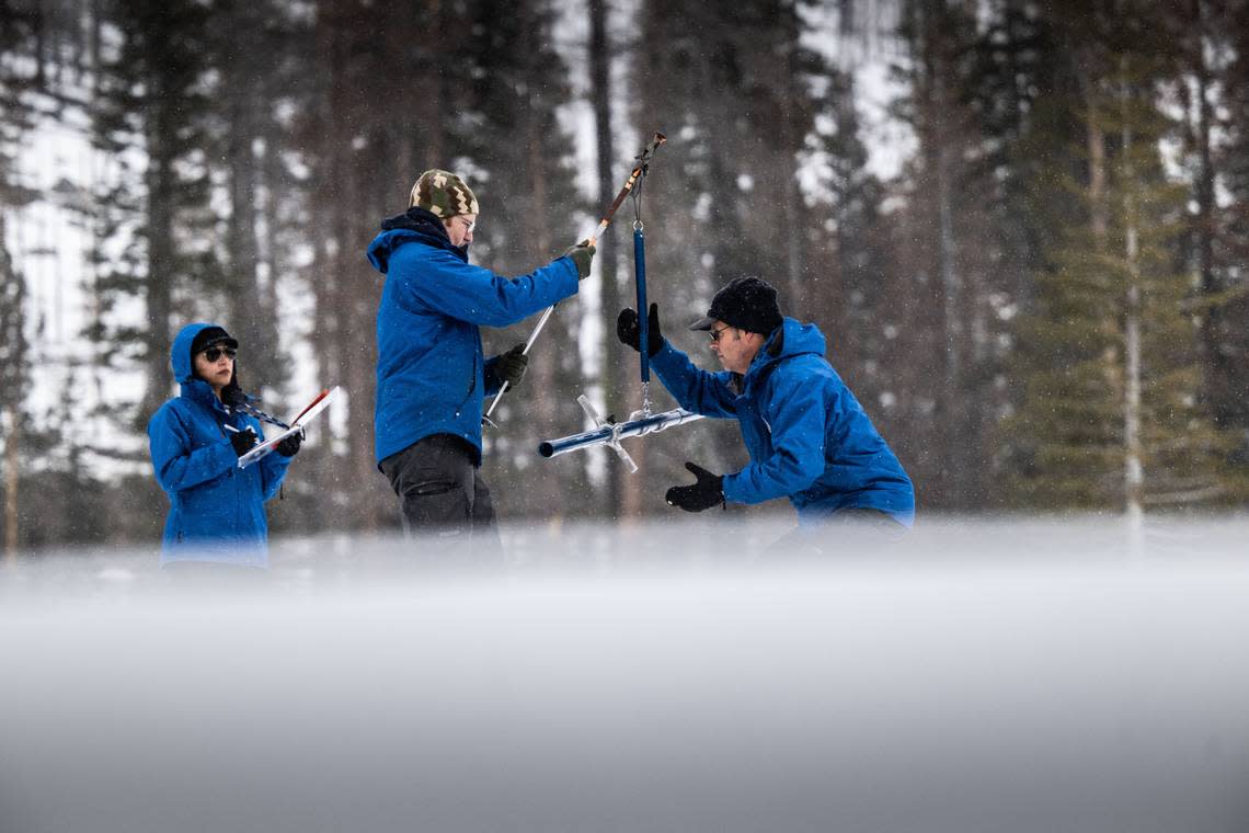
While the latest snow survey conducted by the California Department of Water Resources on Thursday showed a significant improvement in the Sierra Nevada’s snowpack, the weekend storm helped increase snow water equivalents even more.
According to department’s closely-watched index of rain and snow gauges, the Central Sierra registered at 77% of average last Thursday.
On Monday morning, the Central Sierra registered the snow water equivalent at around 104% of average, according to the UC Berkeley Central Sierra Snow Laboratory.
“We’re also at 94% of our April 1st normal and should get be able to get to 100%,” the laboratory wrote on X.
Psst... you want some great news? The storm helped out the whole state A LOT!
Statewide #snow water equivalent is now at 104% of normal to-date after starting January at only 28%\. We're also at 94% of our April 1st normal and should get be able to get to 100%#CAwater #CAwx pic.twitter.com/Aj4fnolBBi— UC Berkeley Central Sierra Snow Lab (@UCB_CSSL) March 4, 2024
What do you want to know about life in Sacramento? Ask our service journalism team your top-of-mind questions in the module below or email servicejournalists@sacbee.com.
