More freezing rain forecast for Tri-Cities after ice sent trucks, cars sliding Saturday
Iced-covered roads could be back Sunday in the Tri-Cities, as freezing rain could fall for a second night in a row, according to the National Weather Service.
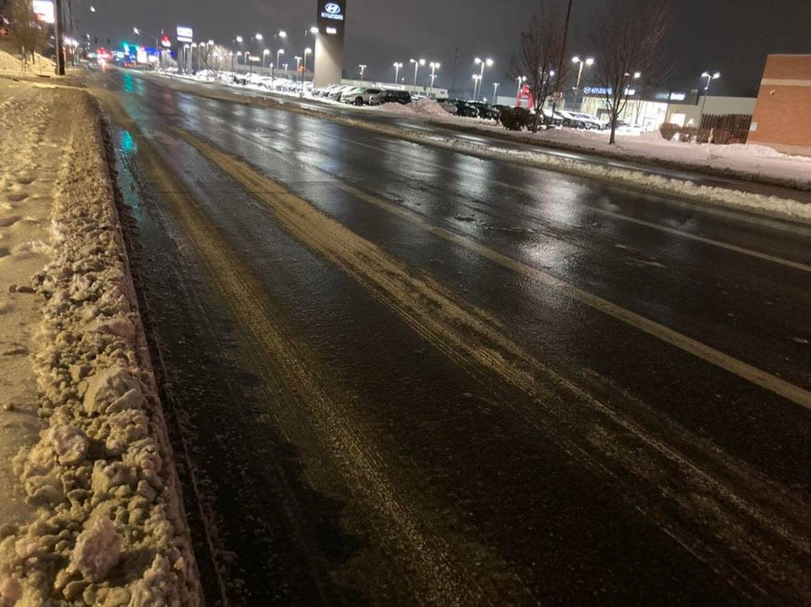
“Tri-Cities is complete ice,” Trooper Chris Thorson of the Washington State Patrol posted on social media at 8 a.m. Saturday. “Multiple collisions all around the area.”
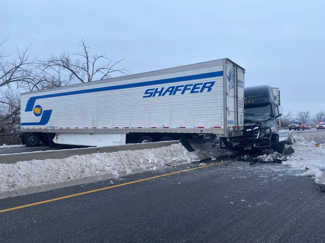
Pasco police posted a travel alert about the same time after responding to a pickup and semi truck crash.
“Freezing rain has created dangerous driving conditions,” it posted.
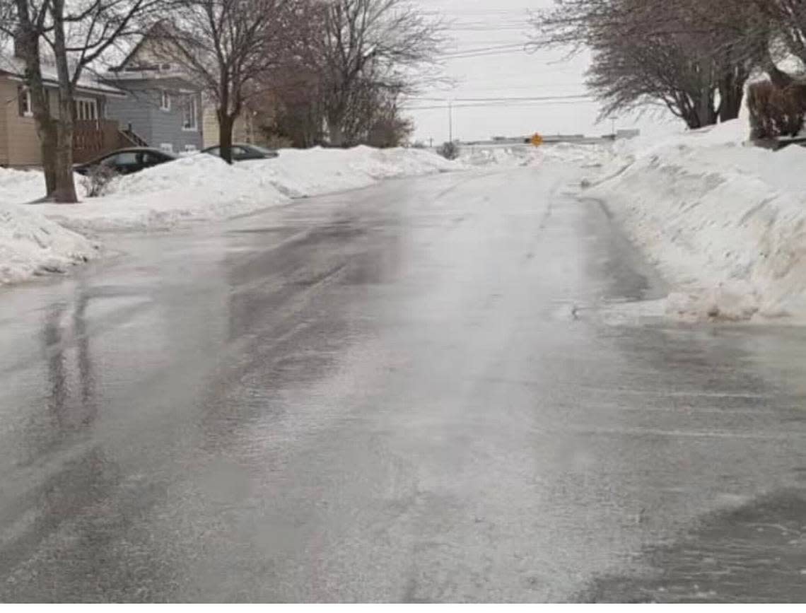
West Richland’s Bombing Range Road at Norma Street to West Van Giesen Street and also Collins Road were covered with a sheet of ice Saturday morning.
Both were closed to traffic for a time.
A crash between two semi trucks on Highway 12 just east of Burbank closed eastbound lanes Saturday morning, according to the state patrol.
Tri-Cities WA forecast
The weather service forecasts a 30% chance of freezing rain Saturday evening until 1 a.m., with a chance of less than a tenth of an inch of ice accumulation in the Tri-Cities.
The chance of rain and freezing rain Sunday morning though 10 a.m. increases to 60%, it said.
Warming weather means that should be the end of snow, sleet and freezing rain, at least through the coming work week. Some days may be rainy.
The temperature by 3 p.m. Saturday had reached 32, and highs Sunday through Tuesday should be in the mid-30s. On Thursday, the temperature could reach 40 degrees.
Overnight lows could be above freezing starting Tuesday night.
