More than 330,000 without power as deadly winter storm brings icy hazards
Hundreds of thousands of households and businesses were without power Friday morning as a deadly winter storm had 80 million people under winter weather alerts and left parts of the United States facing potentially "treacherous" buildups of snow and ice.
In Texas, conditions already proved hazardous, with scores of drivers left stranded for hours after multiple crashes were reported on a northbound stretch of Interstate 10 near Kerrville.
"Roads are still glazed. Like a doughnut," the Kerr County Sheriff's Office said in a statement. "Sing the chorus with us: “Please, stay home.”
A 18-wheeler that jackknifed on Interstate 10 is blocking travel, according to the sheriff's office.
"Adding your vehicle to the line of stopped traffic would be counterproductive for everyone," the statement said.
Firefighters in Dallas have responded to nearly 150 accidents since 9 a.m. Wednesday, according to the Dallas Fire-Rescue Department.
The Texas Department of Transportation warned residents early Friday morning against driving “unless it’s necessary” as roadways remained slick. “Crews continue to spread deicer,” it said in a tweet.
As of Friday afternoon, more than 330,000 customers were without power from Texas to New York, with snow and freezing rain weighing down tree limbs and affecting power lines, according to outage tracker PowerOutage.us.
Outages were reported in Texas, Arkansas, Tennessee, Kentucky, West Virginia, Ohio, Pennsylvania and New York, with more than 126,000 customers left without power in Tennessee alone as of around 12 p.m. ET.
In Memphis, icy road conditions caused a 15-vehicle crash on Thursday, according to the Memphis Fire Department. Twenty-one people were involved in the crash, and six people were hospitalized.
In New York, where nearly 48,000 were without power, Gov. Kathy Hochul warned in a tweet: "Commuters — if you don’t have to drive this morning, please avoid travel so our crews can keep roads safe."
"We have snow. We have freezing rain. We have sleet. We have icy roads. And so we’re looking at this combination here in Hudson Valley and Ulster County," she said during a morning news conference.
The National Weather Service in Albany said the sleet coming down "has been prolific!"
"We continue to see an icy mix of sleet, freezing rain, and/or snow between roughly I-90 and Poughkeepsie," the weather service said in a tweet, adding that residents should expect a transition to snow later on "as additional cold air allows for the wintry mix and snow lines to shift southward."
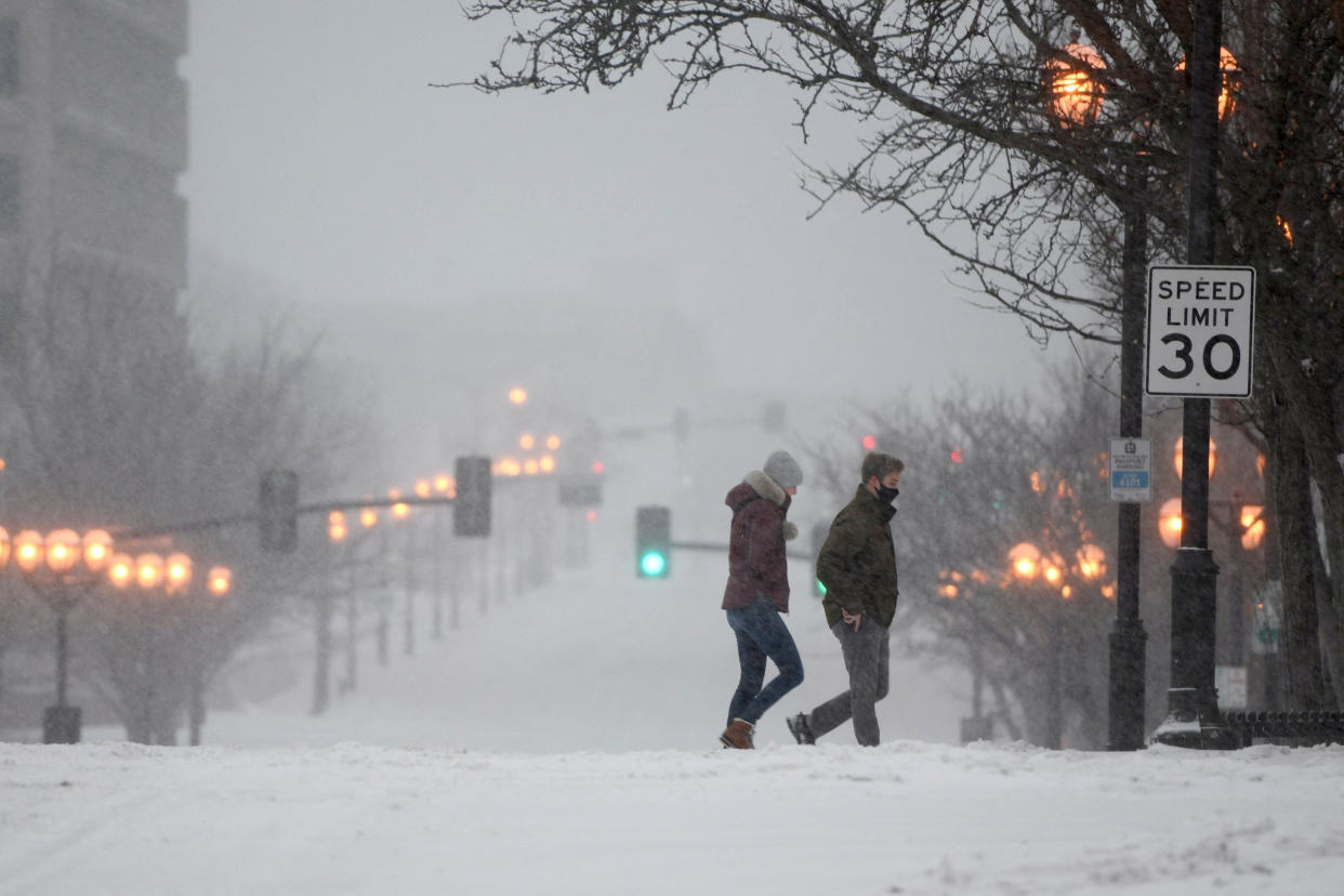
In New York City, those on foot were warned to be careful. "A Winter Weather Advisory is currently in effect for New York City," the city's department of emergency management tweeted. "Pedestrians should exercise caution and avoid slippery surfaces; some ice may not be visible. Wear sturdy boots that provide traction to reduce slipping. Use handrails when using stairs."
In addition to causing outages, the storm also prompted another day of flight cancellations, with more than 3,300 flights within, into and out of the U.S. canceled as of 12 p.m. ET, adding to the more than 5,200 flights called off on Thursday, according to flight tracking platform FlightAware.
The storm, which the weather service said has over the past week produced "heavy snow, crippling ice accumulations, flash flooding and severe weather" has entered its third and final day "before exiting stage right into the Atlantic Ocean this weekend."
But before it departs, more heavy snow is forecast across northern New England, with the heaviest accumulations in eastern Maine, where over 6 inches of snowfall is anticipated, according to the weather service.
Further south, an icy wintry mix could cause "slick travel conditions," making for a difficult commute from the interior northern mid-Atlantic to the ... I-95 corridor from Boston to New York City."
Parts of central Massachusetts could also see up to a quarter inch of ice by the time the storm makes its exit, while parts of the northern mid-Atlantic could see as much as a tenth of an inch of ice accumulation.
According to the weather service, "significant ice accumulation is possible," with snow, rain and freezing rain potentially making for "difficult conditions along with some power outages and tree damages.”
Showers and thunderstorms are also possible from southeast Virginia to northern Florida, with some thunderstorms having the potential to become severe.
Already, the storm system has proven deadly, with one person killed after the winter storm spawned a tornado in Alabama.
In Hale County, Alabama, a woman died and eight others were injured after the tornado tore through the area Thursday afternoon, according to Hale County emergency director Russell Weeden.
Damages were also reported across the county, which is roughly 35 miles south of Tuscaloosa.
The Tennessee Department of Health said one weather-related fatality had been reported in Haywood County, but it wasn’t immediately clear how the person died.
