LOSOM finally crossing finish line five years after it began
It was February 2019. The Army Corps of Engineers announced it needed a new plan to manage the water level in Lake Okeechobee.
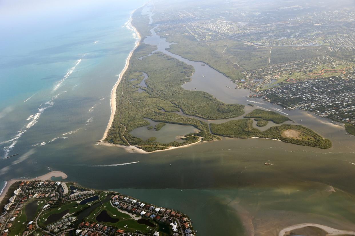
Fifteen years and $1.6 billion later, work to shore up the dike surrounding the lake and protect lakeside communities from potential flooding would finish early in 2023. The Corps knew it would have to adjust how, when and what volume of freshwater it sent downstream into brackish estuaries in Fort Myers and Stuart.
The Lake Okeechobee System Operating Manual design work was launched that month with an introduction to South Florida water users, farmers, conservationists, Everglades restoration organizations and residents. Everyone knew it would take some time to design, run computer models and account for stakeholders' requests.
No one thought it would take five long years, though.
This week marks the long-awaited final stages of LOSOM. By summer's end, LOSOM will become the document used by the Army Corps to govern Lake O decisions for the next decade — or more.
When will LOSOM take effect?
The final environmental impact statement will be published May 24 in the Federal Register, Corps spokesman J.P. Rebello confirmed Tuesday. Then it is subject to a 30-day public review and a 30-day state and agency review. The record of decision and implementation is expected to take place in July or August, he explained.
"After the 30-day period, the Jacksonville District team (of the Army Corps of Engineers) will finalize the "Draft ROD (Record of Decision)" and transmit the ROD package to our South Atlantic Division (SAD). SAD will review the ROD package and then sign the ROD later this summer," Rebellos said via email to TCPalm.
Gen. Daniel Hibner, leader of the South Atlantic Division, will sign LOSOM into action. It will replace the Lake Okeechobee Regulation System 2008 (LORS08) currently being used to manage levels in the 730-square-mile lake. LORS08 resulted in four of the highest volume lake discharge events in 100 years.
Earlier this year, Col. James Booth, commander of the Jacksonville District, said lake discharges to the Caloosahatchee River and St. Lucie River were needed to lower lake levels because an El Niño this winter pushed the lake to 16 feet 4 inches by mid-February.
From Feb. 17 to March 28, 56.2 billion gallons of water were sent to the St. Lucie River and even more were sent west. The discharges dropped the lake a mere 9 inches. But since then, the lake has receded to 13 feet 4 inches because of irrigation water being pulled into the farms south of the lake and evaporation.
What will LOSOM do for the river?
According to computer models executed during LOSOM's design, the new management system could reduce discharges to the St. Lucie River by as much as 40%. The new document also calls for discharges to the St. Lucie to not even begin until the lake's level reaches 16 feet 6 inches.
Advocates and Stuart city officials call that a win for the river.
“The final adoption of LOSOM will close a long chapter in the City’s pursuit for cleaner water and protection of our natural environment. Although we can’t say the new lake regulation schedule will be the silver bullet to all of our concerns, the critical improvements to the system will be seen and felt by all for years to come,” said Ben Hogarth, community affairs liaison for the city of Stuart.
Hogarth said this milestone would not have been possible without cooperation from Martin County, the Rivers Coalition and individual citizens negotiating with the Corps "with one voice."
LOSOM look back 2021: Here's what the Army Corps LOSOM decision means for the future of the St. Lucie River
LOSOM delays avoidable: Army Corps began new Lake O management plan 5 years ago. What is taking so long?
Implementing LOSOM should help the river and the southern Indian River Lagoon, said Mark Perry, executive director of Florida Oceanographic Society in Stuart and of the Rivers Coalition.
"The sooner they start using LOSOM the better," Perry said.
"Implementation of this new Lake Okeechobee plan is long overdue," said Eve Samples, executive director of Friends of the Everglades. "It's an improvement over the current, highly flawed lake plan, LORS08, that led to the lost summers of 2013, 2016 and 2018."
"That said, nobody should expect LOSOM to save the northern estuaries during high-lake years, like we're experiencing now. Lasting relief from toxic Lake O discharges will only come when more land is converted to marshes south of Lake Okeechobee, to restore flows of clean water to the Everglades."
Booth's 3-year term as commander of the Army Corps of Engineers Jacksonville District ends July 26.
Ed Killer writes about the environment for TCPalm. Email him at ed.killer@tcpalm.com.
This article originally appeared on Treasure Coast Newspapers: Army Corps' Lake O plan finally reaching finish line after 5 years
