Live updates: Thousands lose power during Tuesday's snowstorm in North Jersey
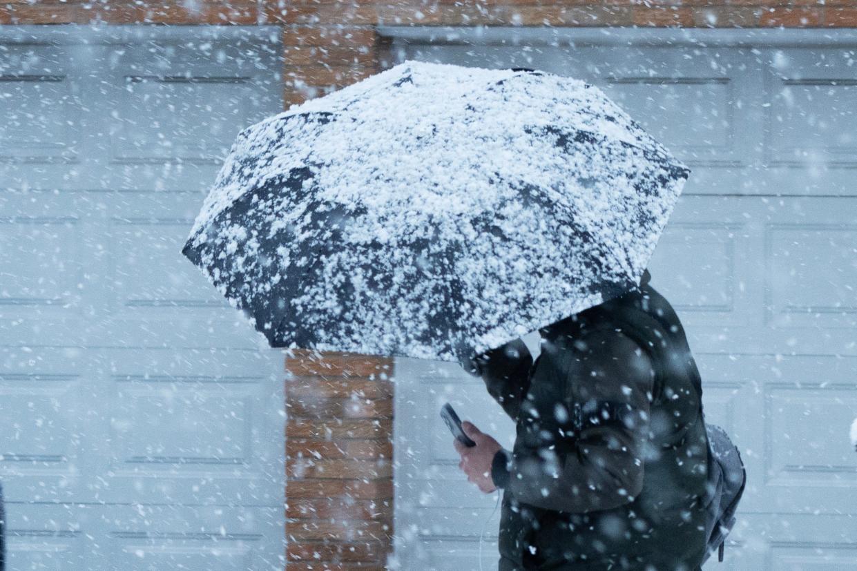
Another bout of winter weather made its way to North Jersey Tuesday in what officials expect to be the biggest snowstorm of the season so far.
Our reporters will be following the latest storm information in the region throughout the day. Here's what we know so far:
Power outages in NJ
Power outages are being reported around the state as snow continues to fall. Here is the number of affected customers as of 11 a.m. on Tuesday per PSE&G's power outage map and JCP&L's power outage map:
Bergen: 2,261 affected customers
Passaic: approx. 6
Morris: 257
Sussex: 168
Essex: 9
JCP&L is reporting 8,626 total affected customers and PSE&G is reporting 3,286 total affected customers around the state.
Warren County is seeing the most affected customers at 4,207 due to the severe weather.
How much snow is expected today?
You may have seen light snow when you woke up Tuesday but remember there's more to come. As of 9 a.m. there was 8 inches of snow in Sparta, 5.8 inches of snow in Parsippany, 3.8 inches of snow in Paramus and 3 inches in Ramsey, according to Bob Ziff of the North Jersey Weather Observers.
Parts of Sussex County and Parsippany are still expected to get 8 to 12 inches by the time the storm is done Tuesday, per the National Weather Service.
As for the rest of the region, those in lower elevations should expect about 5 inches and higher elevations should expect about 8 inches, according to the National Weather Service.
When will it stop snowing?
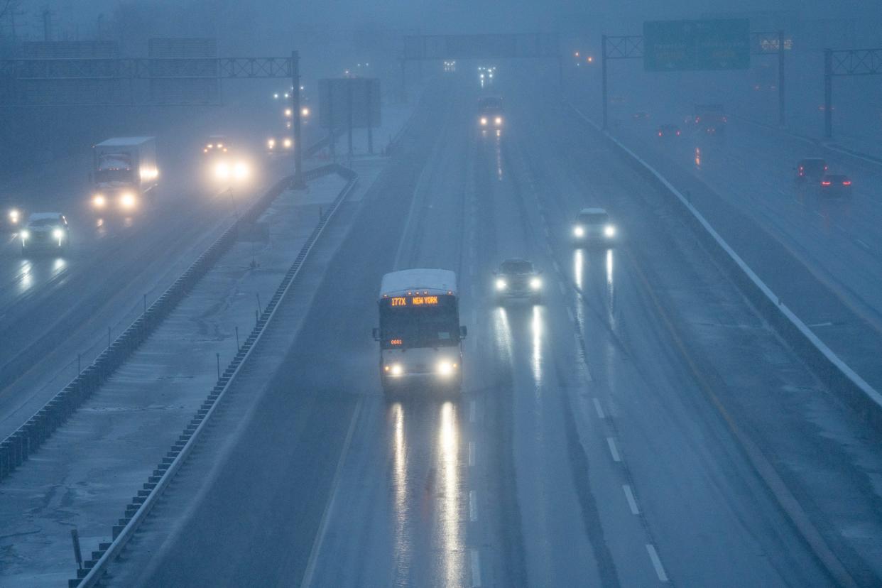
A wintry mix came overnight Monday into Tuesday with a rain and sleet expected to turn back into snow. Precipitation should start tapering off in North Jersey between noon and 2 p.m.
Potential problems for the afternoon and late-night travel
While for the most part the conditions should rapidly improve as we enter the late evening, there are still some things that North Jersey residents should be aware of, according to meteorologist Ross Dickman of the National Weather Service.
Throughout the rest of the morning into the early afternoon you can expect a quarter to a half-mile visibility and snow-covered roads, creating very difficult travel conditions.
Winds could pick up as the day goes on and the heavy, wet snow could weigh down power lines leading to some isolated power outages.
Temperatures are expected to drop below freezing throughout the night. Be careful if you are planning to travel overnight or into the early morning because the roads could get icy.
Morning commute could be tough
National Weather Service meteorologist Joe Pollina advises motorists to be careful when traveling in the morning. "It may be best for people to say home tomorrow if they can, and if they can't then they have to take their time and give themselves extra time to where they need to go," said Pollina.
The NJ Department of Transportation warns that snowfall will be at its heaviest during the morning commute, "Be prepared if you must travel."
School closings in NJ
Many school districts in the region closed Tuesday due to snow. Check out the list here.
Check back for updates.
This article originally appeared on NorthJersey.com: Snow causes power outage in North Jersey: Storm live updates
