Kansas City could see its first snowfall of the season this week. Here’s what to expect
Kansas City could soon see the first snow of the winter season Monday night.
The KC metro could wake up to between 1 and 3 inches of snow Tuesday morning, according to the National Weather Service. Areas east of Kansas City, and in central and northeastern parts of the state, will likely see a bit more of the powder pile up — possibly as much as 4 inches.
A winter weather advisory goes into effect from 8 p.m. Monday to 7 a.m. Tuesday. A wet snow is expected to fall during that time.
The storm will likely begin as rain mid-afternoon Monday, with a high temperature around 42 degrees, according to the weather service. Sometime after 9 p.m. Monday, the rain is expected to transition into snow, which will could continue falling over Kansas City into the morning.
“Be prepared for a challenging commute Tuesday morning,” the weather service tweeted Sunday. “Plan ahead, and allow extra time in reaching your destination!”
But the dusting of snow might not stick around for long. The temperature Tuesday could get up to 38, with mostly sunny skies.
The rest of the week is expected to remain frigid, with high temperatures barely getting above freezing most days.
Weather watches and warnings
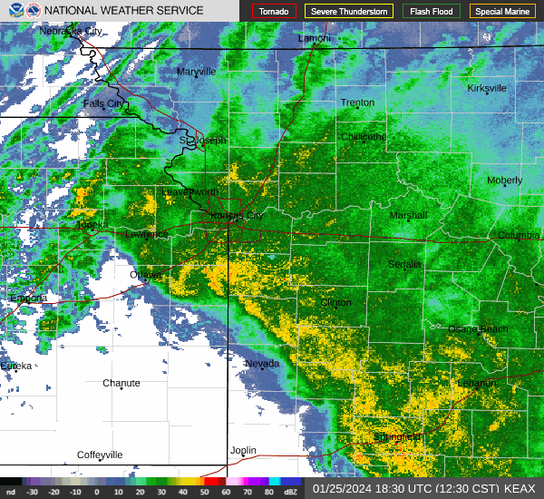
A live data feed from the National Weather Service containing official weather warnings, watches, and advisory statements. Tap warning areas for more details. Sources: NOAA, National Weather Service, NOAA GeoPlatform and Esri.
