Heavy rains and whipping winds lash Macon as ‘powerful storm’ slogs across Georgia
A powerful band of thunderstorms that at one point on Tuesday morning snaked all the way from Athens, Georgia, to Florida’s Gulf Coast, triggered tornado watches, dumped heavy rain and unleashed gusting winds as it chugged across the Southeast.
Schools in many parts of Middle Georgia closed for the day as a precaution. For a while on Tuesday morning as the storm hit Macon, city bus service was suspended but it resumed a short time later.
Emergency officials said there were reports of branches snapping and minor street flooding around Bibb County.
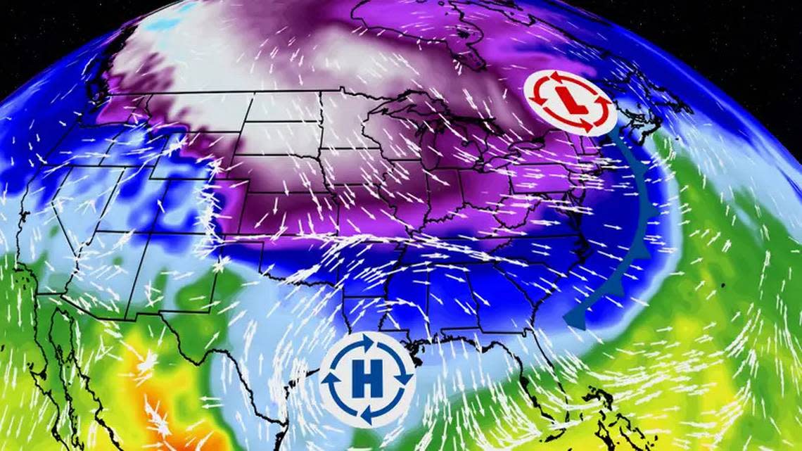
What was described by the National Weather Service as “a powerful storm system,” trawled through Mississippi and Alabama overnight Monday, entering Georgia about daybreak. But in the Macon and Warner Robins areas at least, the fast-moving storm failed to wreak the havoc that it perhaps could have.
A tornado warning was issued shortly before 9 a.m. for an area that included Hartsfield-Jackson Atlanta International Airport. It was not immediately known whether there were reports of damage there.
Meanwhile, parts of the midstate, including Macon, were under a tornado watch through 2 p.m. Tuesday, according to a weather service statement.
Some of the heaviest rain in Middle Georgia fell across parts of Houston and surrounding counties as the brunt of the storm front pushed through in the 9 and 10 o’clock hours on Tuesday morning.
About an inch of rain was expected as the storm moved through.
The forecast called for partly cloudy skies Wednesday and Thursday with lows in the 30s to upper 40s and highs in the mid-50s to low 60s before thunderstorms return on Friday, according to The Weather Channel.