Hagerstown, Chambersburg, Martinsburg commute Tuesday morning could be messy
The Tuesday morning commute in the Tri-State area could be messy with rain expected to transition to snow before dawn, and heavier snow on the front end, according to the National Weather Service.
It also will be cold and windy, though Wednesday is anticipated to be the coldest day this week.
Comings and Goings: Greencastle Veterinary Hospital expands; Floral vendor at Valley Mall through Valentine's
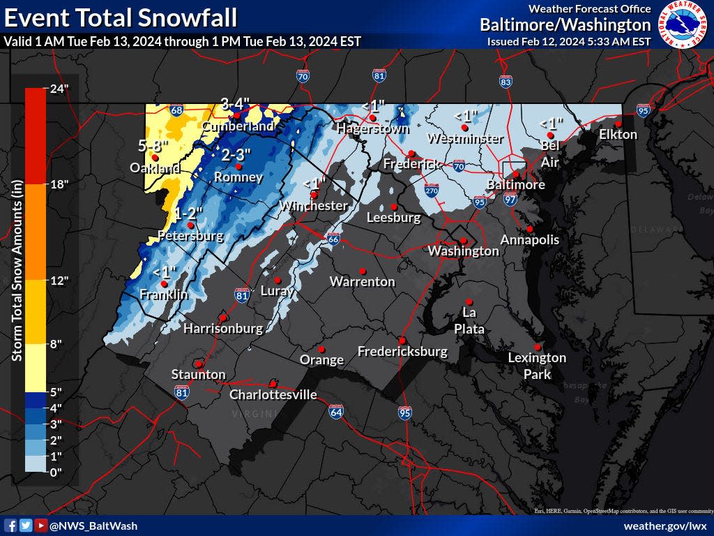
The weather service issued a winter weather advisory for Washington County, Md., and Morgan County, W.Va., for 5 a.m. to 10 a.m. Tuesday.
Meteorologist Luis Rosa with the Baltimore/Washington Forecast Office said officials were thinking of expanding that advisory later Monday to include Frederick County, Md., and Berkeley and Jefferson counties in West Virginia.
A winter storm watch was issued for Franklin County, as well as for Fulton County, in Pennsylvania from 2 a.m. to 1 p.m. Tuesday.
Meteorologist Nicholas Beaty said the criteria that led to the watch status was more for northern Franklin County as some forecast models expect the storm's track to shift southward, affecting the area north of Chambersburg more.
How much snow can Washington County and Franklin County expect?
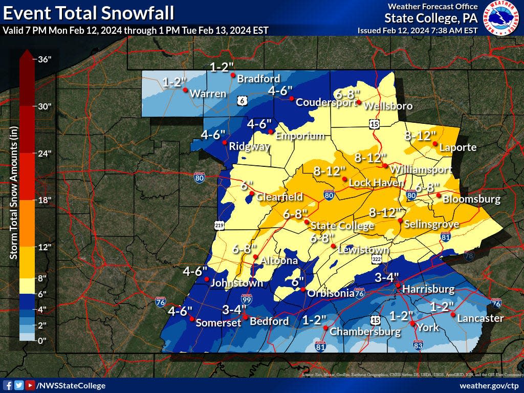
The amount of snow expected in Washington County is in the range of 1 to 3 inches, Rosa said. Higher amounts are expected in mountainous areas and farther west.
Southern Franklin County is expected to get an inch to 2 inches of snow, maybe less in some of the valleys, Beaty said.
Besides the storm's track, that the storm will start with rain also affects the snow totals. Rain was forecasted to start Monday.
The rain will transition to snow, creating a period of mixed precipitation for an hour or two, Beaty said.
That transition could occur around 3 a.m. in southern Franklin County. The snow is expected to stop around 8 a.m. to 10 a.m. Tuesday.
Rosa said snow is expected from roughly 4 a.m. to 10 a.m. in Washington County and West Virginia's Eastern Panhandle.
Tuesday morning also will be windy and chilly
The wind will pick up Tuesday afternoon, with gusts up to 35 mph to 40 mph in the Washington County area, Rosa said.
It also will get chillier with temperatures around freezing Tuesday afternoon and wind chills in the low 20s.
In southern Franklin County, gusts could reach 20 mph to 25 mph, Beaty said.
The wind chill during the Tuesday morning commute is expected to be in the upper 20s, but it should warm fairly quickly after that, Beaty said.
High temperatures in the Tri-State area on Tuesday are anticipated to be in the low to mid 40s, according to the weather service's website.
How cold will it be Wednesday?
The temperature is forecast to be in the upper 30s on Wednesday in Washington County, with the wind chill near 30 degrees, Rosa said.
For southern Franklin County, the high Wednesday is expected to be in the upper 30s to lower 40s.
But overnight into Thursday the low is forecast to be in the mid 20s, Beaty said.
This article originally appeared on The Herald-Mail: Rain followed by snow may make messy Hagerstown, Chambersburg commute
