How gusty will wind get in Valley, and will brief clearing lead to afternoon thunderstorms?
Rainfall totals through the first hours of the latest atmospheric river storm to push through Fresno and the San Joaquin Valley are running as expected, according to the National Weather Service. But a brief afternoon clearing could lead to thunderstorm activity from Stockton south through the Grapevine and high gusty winds could impact several areas.
“Anytime we get clearing, the surface heats up more and it makes us more susceptible to thunderstorms, given the surface heating,” said Dan Harty, a meteorologist with the National Weather Service in Hanford.
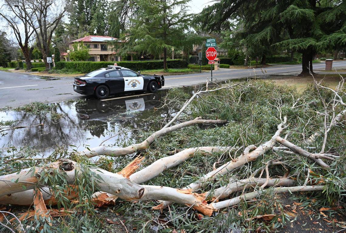
A high wind warning is in effect until 9 p.m., with winds 30-40 mph and gusts to 70 mph expected over a wide area of the Valley. The winds will blow down trees and power lines and widespread power outages are expected, according to the National Weather Service. It advises that people should avoid being outside in forested areas and around trees and branches, and if possible to avoid windows during a windstorm. Travel also will be difficult, particularly for high-profile vehicles.
Some of the highest rainfall totals are to the west with Hanford, Lemoore and Coalinga receiving around a half-inch of precipitation. In Fresno, one-third of an inch of rain had fallen at the airport by early afternoon on Tuesday; it is expected to get anywhere from 1 inch to 1.5 inches through Wednesday night.
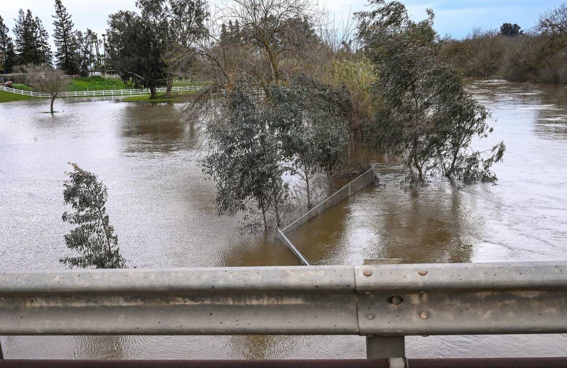
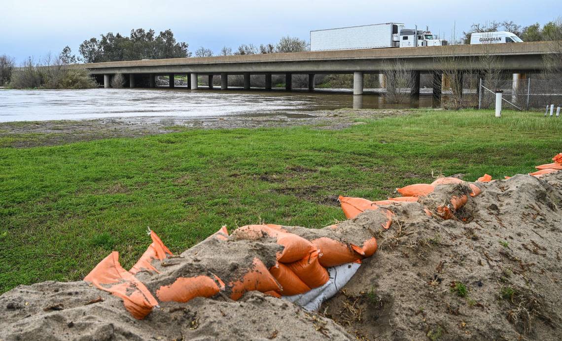
In Tulare County, where flooding threatens the historic California community of Allensworth, rainfall totals were running anywhere from one-quarter to one-third of an inch.
“We’re anticipating some areas of moderate to heavy precipitation,” Harty said. “Most areas are generally a tenth to a quarter of an inch around the Valley.”
Rainfall totals are expected to be highest in the Sierra Nevada foothills with 4-6 inches possible at Shaver Lake, Grant Grove and Lodgepole, and 2-3 inches at Oakhurst and California Hot Springs.