Greece wildfires: What is the Fire Weather Index and which areas could face wildfires in the future?
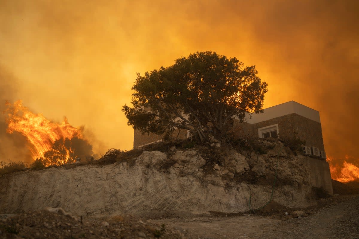
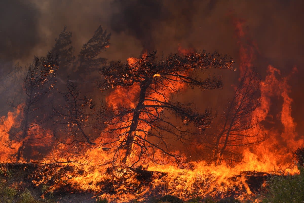
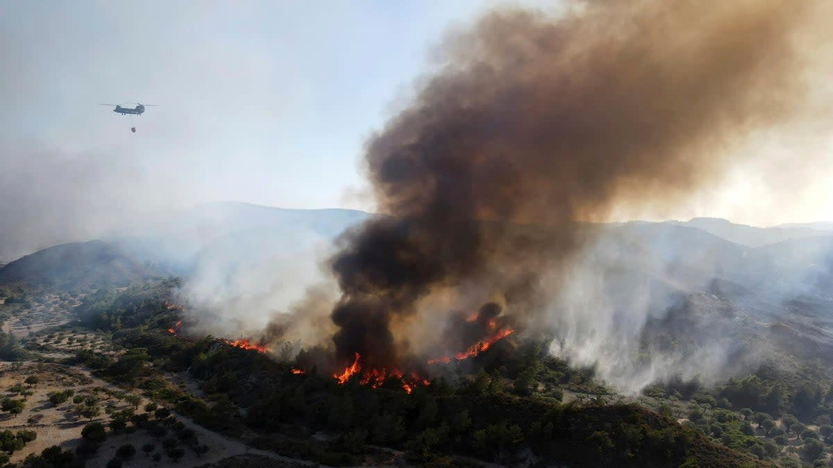
An intense summer heatwave sweeping the Mediterranean has sparked several fierce wildfires, with thousands being evacuated because of the infernos ravaging the Greek islands of Rhodes and Corfu.
Fires have also broken out in Italy, with Palermo Airport forced to close overnight on Tuesday due to a blaze around its perimeter. The wildfire is one of several on the island of Sicily and has spread due to strong winds.
In Algeria, at least 34 people have died and thousands have been evacuated as the number of wildfires neared 100, while flames in Croatia came within 12km of the medieval town of Dubrovnik late on Tuesday.
As fires continue to rage across parts of Europe, here we take a look at how wildfires are measured and how experts forecast which areas might be hit next:
The Fire Weather Index
The Fire Weather Index (FWI) is a meteorologically based index used across the globe to track current wildfires and predict which areas are more at risk of fires breaking out in future.
To determine which areas are more prone to wildfires, the FWI considers different factors such as the level of fuel moisture - the amount of water in things like vegetation in the area - as well as temperatures and wind patterns.
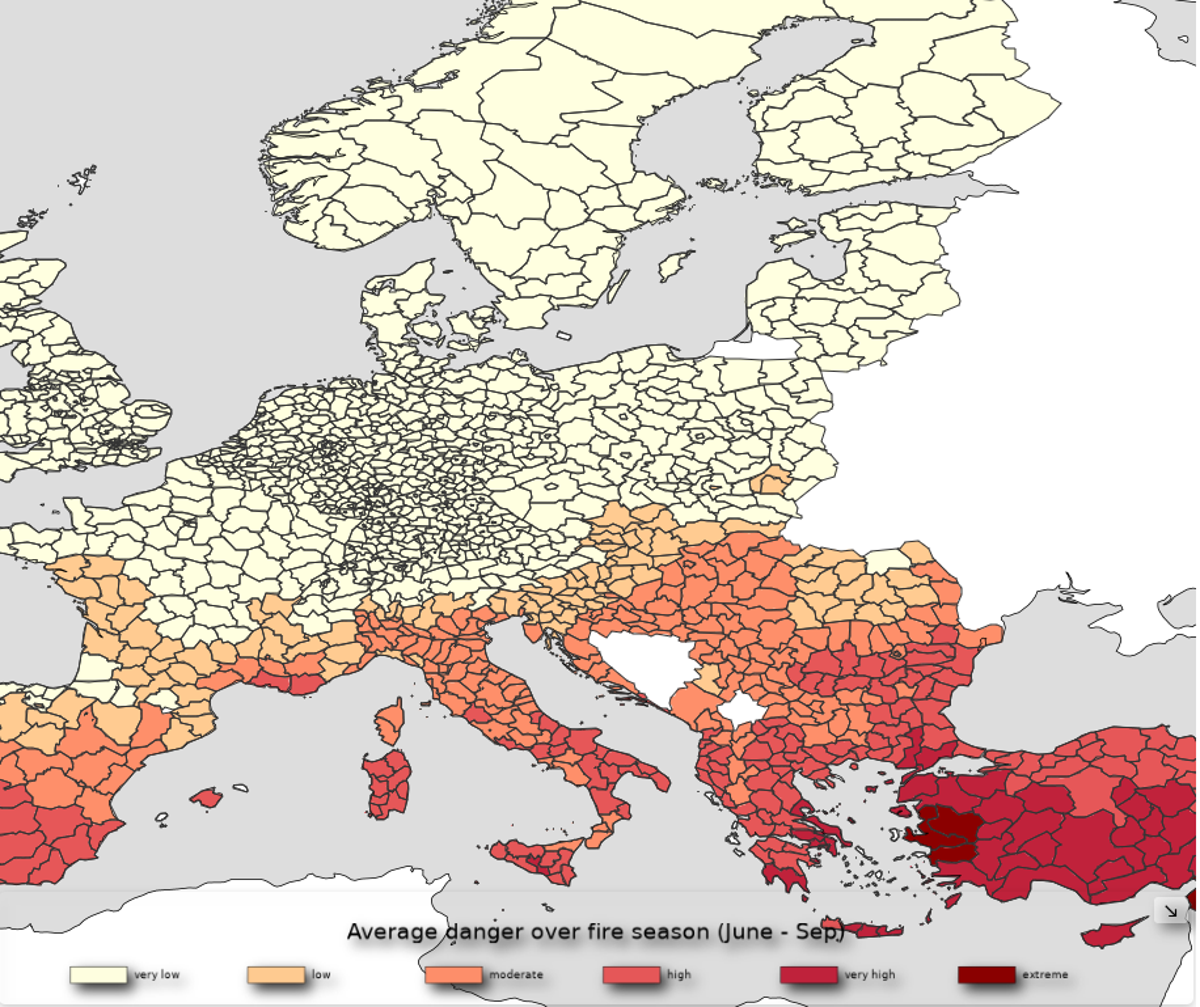
“The higher the FWI is, the more favourable the meteorological conditions to trigger a wildfire are,” the Climate Copernicus EU said.
The wildfire risk is measured in six different danger levels: very low, low, moderate, high, very high and extreme.
Which areas are likely to experience wildfires in the future?
According to the FWI map, some of the places listed under high, very high and extreme for the fire season (June to September) are:
Mardin - Turkey
Sanliurfa - Turkey
Diyarbakir - Turkey
Kilis - Turkey
Gaziantep - Turkey
Badajoz - Spain
Cadiz - Spain
Baizo Alentejo - Spain
Leziria do Tejo - Spain
Foggia - Italy
Lecce - Italy
Matera - Italy
Bari - Italy
Other parts of Greece, Turkey, Spain and Italy have also been included.
You can see the full list here.
What is Copernicus?
The FWI is run by Copernicus, which is an EU programme aimed at developing “European information services based on satellite Earth Observation and in situ (non-space) data.”
It aims to monitor and forecast the state of the environment on land, sea and in the atmosphere, in order to support climate change and implement strategies towards it.
