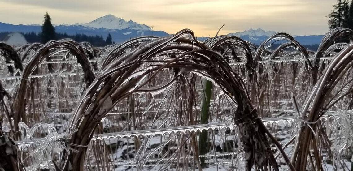
Friday ice storm could bring chaos to Whatcom County. Here’s what to expect
An ice storm headed for western Washington Thursday evening was expected to create travel headaches for holiday travelers along with a host of other problems.
High pressure over eastern British Columbia and low pressure over western Washington was sucking arctic air into the region. That, combined with other weather conditions, is setting the stage for an ice storm.
The National Weather Service’s Seattle office issued a wind chill advisory until 10 p.m. Thursday, Dec. 22, and a Winter Storm Watch through Friday evening, Dec. 23, for Whatcom County.
What is an ice storm?
An ice storm begins as snow at the higher levels of a weather system. As the snow falls it passes through a layer of warm air and becomes rain. When the rain nears the ground it comes into contact with a layer of cold air.
The result, said National Weather Service meteorologist Dev McMillian, is rain that turns to ice when it hits just about any surface: asphalt, roofs, trees, sidewalks, train tracks, power lines, cars and airplanes.
“That can definitely disrupt travel,” McMillian said. “And it can also weigh down trees, do a number on utility lines. It can really disrupt power for an extensive amount of time depending on the severity.”
Whatcom County could see between one-tenth and one-quarter inch of ice and 1-3 inches of snow — enough to turn the trip to grandma’s house or walk around the neighborhood into a miserable experience.

Power outages possible
Andrew Padula, media representative for Puget Sound Energy, told McClatchy that his company had prepped and was organizing for extra crews.
“At this point, we are calling contract crews to check their availability so we can supplement our crews as needed, calling in extra system operators, bringing dispatchers in early and watching for weather updates. We have crews ready to respond if and when an outage occurs,” Padula said.
He added, “We are pre-emptively staffing up our command center (system operators/dispatchers) so we can respond rapidly if the freezing rain does come to fruition.”
With the uncertainty of both snow and ice in the forecast, he said, the utility recommended people prepare for an outage that could last “possibly for an extended time. We know this is frustrating and disruptive to holiday plans and we will be working around the clock to respond.”
PSE offers an outage map online at pse.com/outage/outage-map.
In light of these conditions and potential delays to responding, we encourage customers to make plans now to be without power, possibly for an extended time.
We know this is frustrating and disruptive to holiday plans and we will be working around the clock to respond. (4/5) pic.twitter.com/x08vsO6A6I— Puget Sound Energy (@PSETalk) December 22, 2022
Driving hazards
The state Department of Transportation was preparing for the ice storm on Thursday by treating state highways with a salt brine, said spokesperson Cara Mitchell.
“Freezing rain, ice storms are one of the most challenging weather conditions to try to prepare for,” Mitchell said. “And so we’re treating everything right now. And we will adapt as the conditions change.”
Mitchell urged drivers to be prepared whether they are going across town or over mountain passes.
“I would really encourage drivers to pay attention to the pass conditions and the chain requirements,” she said. In poor conditions, even four-wheel-drive vehicles are required to put chains on.
WSDOT’s website will have the latest pass and road conditions. Drivers are urged to gas up, carry blankets and prepare for challenging conditions.