Which Fresno roads are most likely to flood during major storms? See our interactive map
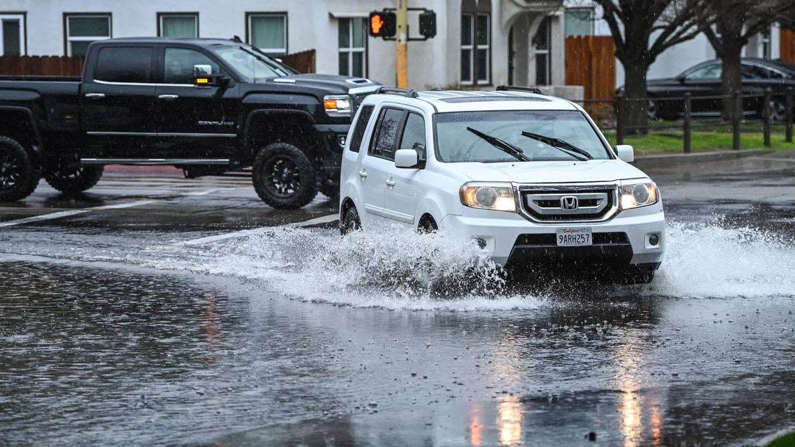
Fresno and Clovis residents are no strangers to flooded streets or intersections even when modest rainstorms strike the central San Joaquin Valley.
But with a warm “atmospheric river” storm taking aim at central California starting Thursday with the prospect of three to six inches of rainfall in some areas by Sunday, drivers need to be cautious about trying to cross areas of ponding water as they move throughout the city.
Fresno has dozens of typical hot spots for temporary flooding of streets or intersections during storms. The Fresno Bee has compiled some of those into a map based on observations from readers as well as previous reports from the city of Fresno and the Fresno Metropolitan Flood Control District.
Some of that street ponding happens when storm drain inlets on city streets get clogged with debris; others can flood when rainfall exceeds the designed capacity of the flood control district’s pipelines.
Whatever the case, workers from the city and the flood district are working to get ahead of the storm and, as much as they can, minimize the potential for problems before the rain arrives Thursday.
Thursday updates: Atmospheric river hits Fresno area; Planada, Merced under flood warnings
Preparing for atmospheric river storms
“We’re definitely concerned; we’re doing everything we can to be prepared” for the coming storm, said Brent Sunamoto, assistant manager of the Fresno Metropolitan Flood Control District. “All of our pipelines systems are designed for a two-year event,” or a large rainstorm that can be expected to occur every other year on average, dropping a half-inch of rain per hour.
Those pipes drain storm runoff from streets into more than 170 drainage basins – some large, some small – scattered throughout the Fresno-Clovis area. “Once we get above a two-year storm, that’s when water starts to back up into the streets,” Sunamoto added.
This week, in the wake of recent storms that drenched the Fresno area, the district has been pumping water out of its basins and into the Fresno Irrigation District’s canal system. “When we have a lot of time between storms, we try to get the basins pumped down as much as we can,” Sunamoto said.
If basins reach their capacity, low-lying areas of nearby neighborhoods could also find streets and intersections flooded until pumps can make more room to hold the water.
Crews from the city of Fresno’s Department of Public Works also stay busy as storms approach to make sure gutters and storm-drain inlets are clear. Public Works Director Scott Mozier said they’ll be on duty throughout storm to respond when residents report flooding problems or blocked storm drains that can quickly cause water to pond at low points in intersections.
What to do if you encounter a flooded road
Here’s what you should do if you encounter a flooded road, according to the Ready.gov website:
Evacuate the area immediately when told. Do not drive around barricades; those are used to direct traffic out of flooded areas safely.
Avoid flooded roads: “Turn around, don’t drown.”
Try to stay off bridges with fast-moving water below.
If you get trapped in your vehicle in fast-moving water it is advised to stay inside.
You should get on the roof of your car if water begins to leak inside the car.
