Forecasters: Northeast Kansas at risk this week for tornadoes, hail, high winds, flooding
Tornadoes, large hail, high winds and flooding will all be possible this week in north-central, northeast and east-central Kansas, the National Weather Service says.
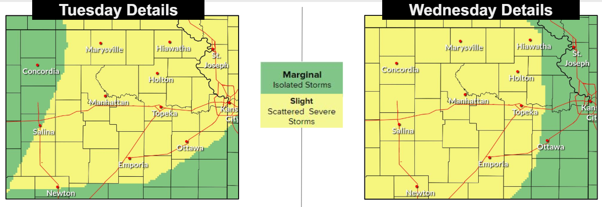
Hail and high winds are the main concerns for scattered strong to severe storms expected to develop Tuesday afternoon and evening, the weather service's Topeka office said on its website.
Hail, high winds, flooding and "a few tornadoes" are then possible Wednesday afternoon and evening, it said.
Multiple rounds of precipitation bringing rainfall amounts of 1 to 3 inches are predicted this week in the area the weather service's Topeka office covers in north-central, northeast and east-central Kansas, that office's website said.
Topeka officially saw a total of 2.24 inches of rainfall between Thursday and Sunday, it said.
The weather service predicts a slight chance for severe weather on Tuesday and Wednesday, with scattered storms also being possible Thursday, the Topeka office's website said.
Contact Tim Hrenchir at threnchir@gannett.com or 785-213-5934.
This article originally appeared on Topeka Capital-Journal: Severe storms, flooding could affect northeast Kansas this week
