Here’s what forecasted ‘bomb cyclone’ delivered in Fresno area — and when more’s expected
While the San Francisco Bay Area was hit hard by the “bomb cyclone” storm moving across California — leaving wind gusts of up to 101 mph and nearly 80,000 people without power in the Bay Area alone — things in the Fresno are were relatively tame Thursday morning.
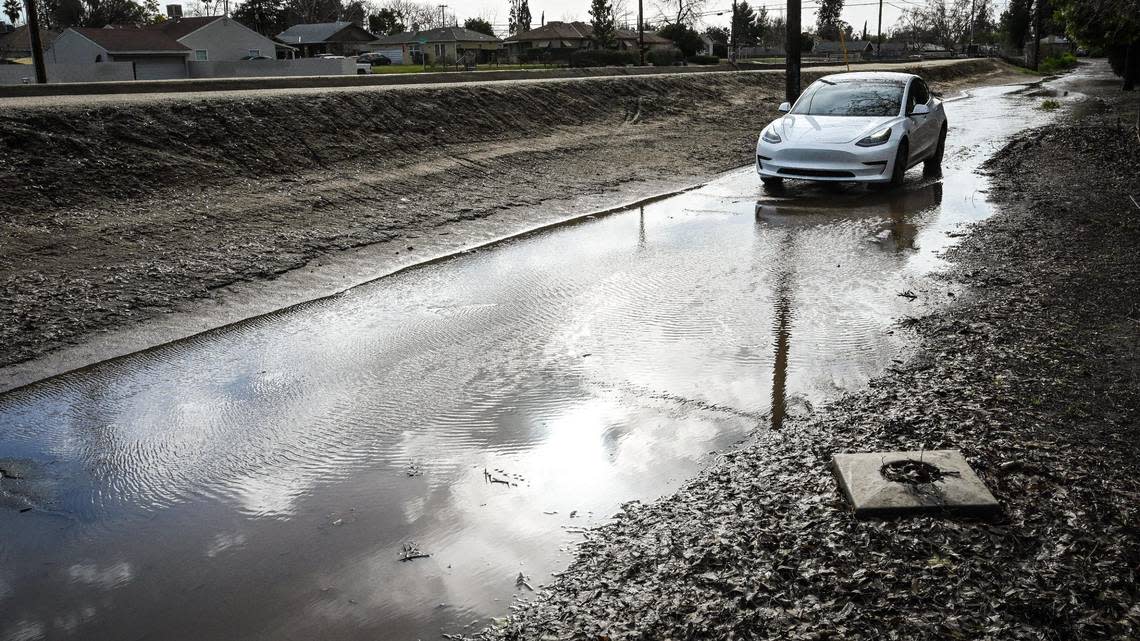
The California Highway Patrol did report roadway flooding for at least one major freeway offramp in Fresno.
The offramp of northbound Highway 41 at Shaw avenue was flooded with at least one lane completely covered. The CHP requested Caltrans respond with a pump and additional equipment.
Traffic was also blocked on Van Ness Avenue (Christmas Tree Lane) as a crew cleared a downed tree and power line.
For the most part, PG&E, which had been warning residents to prepare for possible affects the storm, had no major outages listed in the Fresno area through Thursday morning.
A few strong thunderstorms are possible throughout Central California today. Dangerous lightning, small hail, and wind gusts near 45 mph are hazards associated with strong thunderstorms. Any thunderstorm can produce intense rainfall rates, leading to localized flooding. #CAwx pic.twitter.com/2eWl6Yot2B
— NWS Hanford (@NWSHanford) January 5, 2023
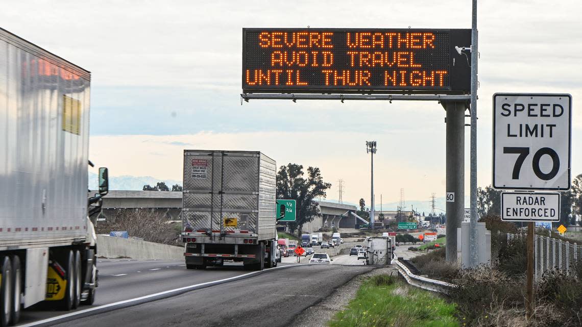
The National Weather Service says the storm’s wind event (which brought hurricane-level gusts of 106 mph across the Grapevine on Wednesday night) had peaked and those winds would continue to die down throughout the day.
That doesn’t mean the storm had passed.
“The next threat will be afternoon and early evening convection,” the weather service said its its daily forecast discussion.
That meant scattered heavier showers with isolated thunderstorms. And “any thunderstorms can produce gusty winds, frequent lightning, small hail and brief heavy precipitation,” leading to localized flooding.
Sandbags are available at several locations throughout Fresno County. Details are available on the county’s Facebook page.
The thunderstorm activity was expected from noon until 6 p.m. Thursday, with lingering rains continuing until Friday morning.
The region should get a brief respite before another storm system hits Saturday.
A third system (this one will have an atmospheric river) is expected to hit Monday, then another chance of heavy precipitation again next weekend.
24 hours rain totals from National Weather Service
As of 8:30 a.m. Thursday morning, Shaver Lake had the highest levels of rainfall in Fresno County over the past 24 hours, reporting nearly two inches of rain, according to the National Weather Service. Those numbers were matched at Bass Lake and topped farther north in Wawona, which saw more than two and a half inches of rain.
Fresno proper saw more than a half inch in many areas, including at Fresno City College.