Feels so good in South Florida and the Keys. Will the good weather last to Columbus Day?
Comfy temperatures in the 70s?
Check.
Clear skies?
Check.
Gorgeous sunsets?
Check, again.
Good morning!
Another mostly dry day is expected over SFL, although isolated showers will be possible later in the afternoon over the east coast (mainly PB county).
High temps will run a couple degrees below normal with comfortable (at least by our standards) humidity. #Flwx pic.twitter.com/I5A0aLFCZK— NWS Miami (@NWSMiami) October 4, 2022
Weather issues on the horizon?
Well ... yes, there are some areas of concern in terms of weather for South Florida through the week and much of it is marine-related.
Coastal flooding could persist through the week into the weekend, according to forecasters at the National Weather Service in Miami. The potential flooding is related to high tides and would affect mostly low-lying and “vulnerable” spots on the Atlantic coast.
The Keys could also see some minor saltwater flooding of low elevation streets and lots, especially on Tuesday, according to forecasters in Key West. Watch for overflowing storm drains and roadways that could have saltwater overflow. Drive carefully through wet roadways. Boaters may also expect less clearance under fixed bridges at high tides.
Given the otherwise mostly favorable weather conditions — low humidity, highs in the mid-80s and lows in the mid-70s, 20%-30% rain chances most days through Saturday, with an increasing chance for rain or storms on Columbus Day Monday — many may seek the beaches or open waters.
A tropical wave a few hundred miles east of the southern Windward Islands should remain well south of the Florida Keys, forecasters at the weather service in Key West said Tuesday morning.
Currently monitoring two areas for possible tropical development over the next five days. The first system to the east should remain out over the eastern Atlantic. As of now, the other system near the Windward islands should remain well south of the #FloridaKeys. #KeyWest #FLwx pic.twitter.com/tgHTH10BA1
— NWS Key West (@NWSKeyWest) October 4, 2022
Watch for rip currents
Forecasters note that increasing northeasterly wind speeds and the swells they often bring to the seas could mean hazardous conditions for beachgoers or mariners by midweek.
Think: rough surf midweek, particularly off the Palm Beach coastline.
Swells are collections of waves that are produced by storm winds that could be blowing hundreds of miles out to sea, as opposed to waves, which are generated by winds blowing locally, according to Sciencing. Swells characteristically have smoother, more regular and uniform crests and a longer period than wind waves, according to the National Weather Service.
An increase in onshore flow may also result in a moderate or even high risk for rip currents along the Atlantic beaches for the second half of the week into the Columbus Day weekend, forecasters say.
What about Columbus Day Regatta?
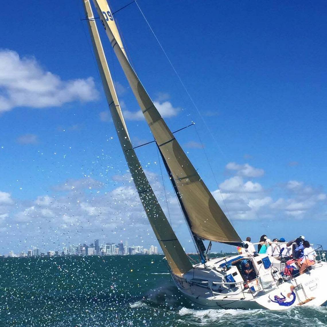
Miami’s annual Columbus Day Regatta is 10 a.m. Saturday, Oct. 8, and Sunday, Oct. 9, in waters south of the Rickenbacker Causeway.
On those days, forecasters in Miami predict a 30% chance of showers and thunderstorms after 9 a.m. under mostly sunny skies, with a high near 84. Expect breezy conditions both days of the regatta, with a northeast wind 10 to 16 mph, with gusts as high as 21 mph.
Forecasters are looking at isolated thunderstorms for the week leading into the Columbus Day Regatta, with some of these storms possible Tuesday night over the Atlantic, with a chance for an isolated waterspout.
From Wednesday through Monday’s holiday, thunderstorms can’t be ruled out with wind gusts around 20 mph.
Not quite as cool as yesterday, but still comfortable this Tuesday morning with mostly low to mid 70s across #SouthFlorida And milder across the #Keys with upper 70s @CBSMiami #CBS4 #Broward #MiamiDade pic.twitter.com/BmIipUxBwa
— Lissette Gonzalez (@LissetteCBS4) October 4, 2022
