Discovery of 'fingerprint' confirms alarming predictions of Greenland ice sheet melt
Scientists now have unambiguous proof that a phenomenon critical to predicting the impact of climate change exists.
Researchers announced Thursday that they had detected the sea level “fingerprint” of the Greenland ice sheet melt, pinpointing the unique pattern of sea level change linked to the melting ice.
It’s the first time such a fingerprint has been definitively measured. While scientists agreed these fingerprints theoretically exist, the dynamic nature of the ocean had made it difficult to identify them confidently — until now.
The findings, possible with the help of high-resolution satellite observations, detail the unique pattern of sea level change linked to the Greenland ice sheet. The fingerprints are then factored into models to predict overall sea level rise.
This discovery confirms and adds confidence to the sea-level changes forecast by computational models. These predictions are critical for understanding the consequences of climate change and preparing for future hazards. It is now more than clear that the melting of the Greenland ice sheet is accelerating, said Sophie Coulson a postdoctoral fellow at Los Alamos National Laboratory. Coulson is the lead author of the study that led to the findings, which were published in the journal Science.
Until recently, fingerprint science was restrained by a lack of satellite observations — records only documented the southern tip of Greenland, making it difficult to examine the oceans around it.
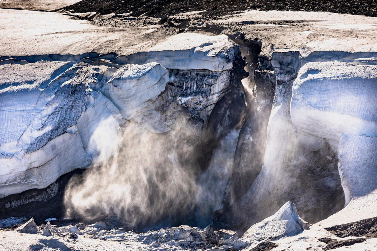
The Greenland ice sheet covers almost 80% of the island country and contains enormous quantities of frozen water. The rapid melting of the Greenland ice sheet is responsible for 20% of the current sea level rise globally, and a recent study predicted its disintegration would raise global sea levels by at least 10 inches, even if people stop burning fossil fuels.
This study was possible thanks to new satellite data shared by the Copernicus Marine Service, data that spanned over 30 years and extended to higher latitudes. Coulson plugged observations of ice-thickness change into a computational model and created a prediction of sea level that spanned from 1993 to 2019. She then compared the forecast against the new satellite data — and found a perfect match.
“It was really an exciting moment for us when we first looked at that side-by-side comparison of those observations to the model predictions,” Coulson said. “The images were staggeringly similar.”
It was especially surprising because in geophysics it’s unusual to prove something is happening with a certainty of more than 99.9%, Coulson explained. But it was clear that the pattern of sea-level change revealed by the satellites was the fingerprint of the melting ice sheet — and that the estimation of sea level change predicted by both earlier models and Coulson’s new one was accurate.
“We can really say with great certainty that sea-level fingerprints exist,” Coulson said. “The theory was correct.”
Knowing fingerprints can be a tool for predicting accurate sea level change is critical because the future of the Earth’s oceans is so uncertain.
“We know global sea levels will rise and that the amount and pace of sea level rise will depend on our greenhouse gas emissions,” Yarrow Axford, an associate professor at Northwestern University who studies the impact of climate change on Greenland’s glaciers and ice sheet, said by email. She was not a part of Coulson’s study.
“But how fast the ice sheets in Greenland and Antarctica will respond to warming is a really big unknown, and frankly a very scary unknown,” Axford said.
Fingerprints are already used to inform ocean level projections and coastal planning. In the United States, an estimated 30% of the population lives in coastline communities. Each inch of sea level rise is expected to make coastal storms more catastrophic for these populations.
This is partly because sea level changes can lead to more destructive storm surges, one of the most deadly aspects of hurricanes. Hurricane Ian’s storm surge along with its winds and flooding rain have caused devastation across Cuba and Florida. Sea level rise, along with other aspects of climate change, is expected to increase the intensity and frequency of hurricanes.
“We’re already being forced to adapt to sea level rise around the world, and we need to do a lot more still to prepare,” Yarrow said. “Having decent projections of how fast our coastlines will retreat is essential for making tough decisions and the right big investments now in preparation for future sea level rise.”
