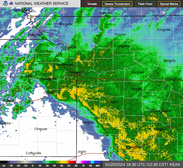
Cluster of thunderstorms speeding towards Kansas City with heavy rains, gusty winds, hail
Keep that rain gear handy as a cluster of thunderstorms is approaching the Kansas City area, bringing heavy rains, gusty winds and small hail, according to the National Weather Service.
The storms are expected to move into the metro area during the morning rush hour, leading to wet conditions throughout the day.
Although severe storms are not expected, strong storms will be possible across northeast Kansas and northwest Missouri. The strongest storms could produce wind gusts up to 50 mph and small hail.
Showers and thunderstorms will linger across the area into the early afternoon. Then, a cold front is expected to pass through the area, leading to another round of showers and thunderstorms, the weather service said.
The afternoon storms are dependent upon how the morning storms evolve — weaker morning storms could lead to stronger afternoon storms, the weather service said.
Severe weather is not expected, although hail up to one inch in diameter and winds around 60 mph are possible, the weather service said.
“Additional precipitation amounts of 1 to 2 inches with locally higher amounts may lead to localized flash flooding and river flooding,” the weather service said in its forecast discussion. “Cloud cover and precipitation will keep highs in the 70s today.”
The storms are expected to move out of the area Thursday night.
Drier conditions are expected Friday, with mostly sunny skies and temperatures in the low 70s, which is typical for this time of year in Kansas City.
Another round of showers and thunderstorms will be possible late Friday into Saturday morning. There is a chance for more showers and storms on Sunday afternoon, according to the weather service. Temperatures will be in the low 70s.
None of the weekend storms are expected to be severe.
Severe weather likely early next week
The weather service is urging people to watch the forecast for Monday. The weather pattern favors severe storms in the central to eastern Plains, including the Kansas City area.
Although the forecast is uncertain, one scenario has storms developing west of the metro, with all types of severe weather possible, including large hail, damaging winds and tornadoes. The weather service said the storms would affect the Kansas City area overnight Monday.
In a second scenario, a faster-moving storm system would push the risk of severe weather further east, affecting eastern Kansas and western Missouri. All types of severe weather will be possible Monday afternoon and evening.
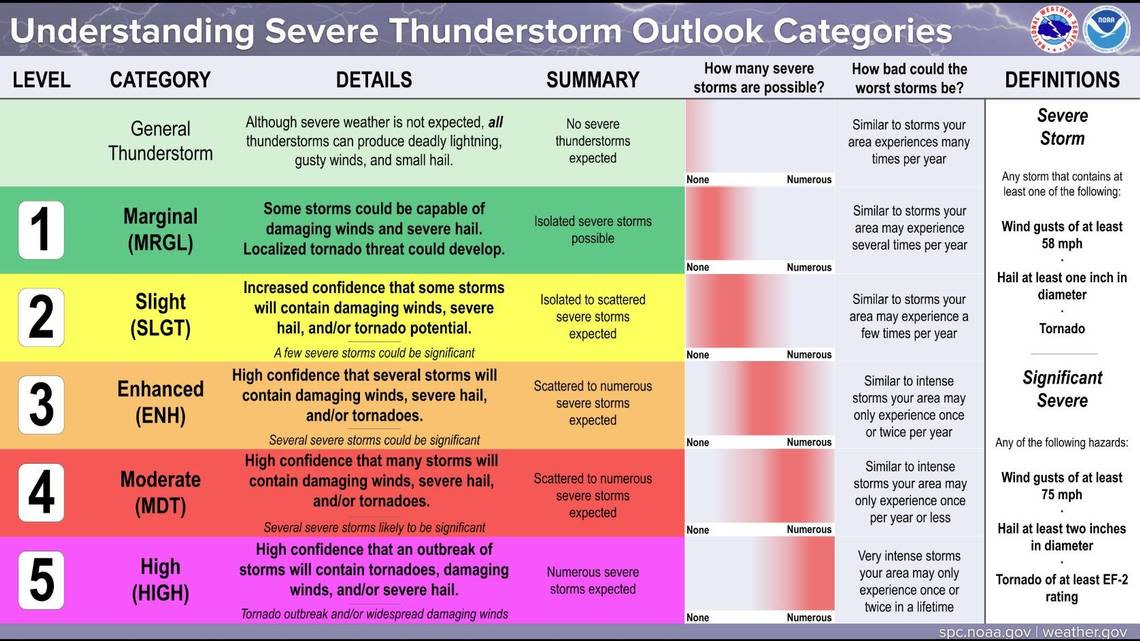
The weather service’s Storm Prediction Center has placed the Kansas City area under a slight risk of severe weather. With the storms so far out, that is likely to change.