Christmas snow forecast: Here's what the Old Farmer's Almanac predicts
Flip a coin. Make a guess. Will Rochester see a White Christmas? The Old Farmer's Almanac released its annual predictions for which parts of the country may see snow on Dec. 25.
For the Rochester region and other parts of New York and western New England, the almanac predicts just over a 50-50 shot for a White Christmas this year. The temperature in December is predicted to be warmer than normal this year.
Some towns in northern New England, the northern Midwest and the Plains, however, are expected to see a white Christmas this year, but the Atlantic region and coastal areas will not, according to the Almanac's predictions.
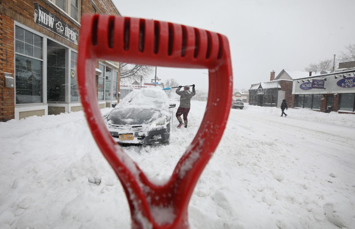
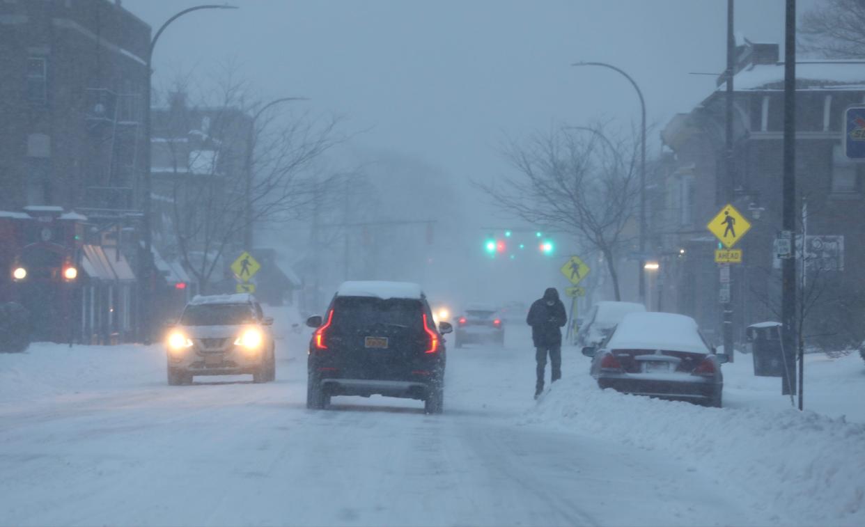
However, some western and central New York communities have already seen significant snowfall this season. Parts of Lewis County saw more than 3 feet of snow in a late November storm. Parts of Chautauqua and Cattararagus counties, both south of Buffalo and along Lake Erie, saw nearly 2 feet of lake effect snow in the same storm, according to the Weather Service.
Old Farmer's Almanac prediction for the rest of the winter

According to the almanac, the lower lakes region (which includes Rochester, Buffalo and Syracuse), is predicted to see "above normal" snowfall, with the snowiest times from late December through most of January and in mid-February. The almanac also predicts a "colder than average" winter, with the season's coldest temperatures expected in early and late December and from January through mid-February.
According to the almanac, here's the prediction for other parts of New York:
In Utica and Albany, both within the Northeast region, snowfall and temperatures are both expected to be "above normal" this winter. The snowiest stretches are expected to occur in mid-December and early to mid-January. The coldest periods are predicted to occur in mid- to late November, early to mid-January and early to mid-February.
In Elmira, Binghamton and Ithaca, all part of the Appalachian region, winter will be colder than normal with "above normal" snowfall. The snowiest spells will occur in late December, mid- to late-January and early to mid-February and the coldest stretch is expected to run from early January through mid-February.
In the New York City area, which is part of the Atlantic corridor region, where both snowfall and temperatures are predicted to be "above normal," with the snowiest periods expected at the end of December, in late January and mid-February. The coldest days are expected to run from late-January to mid-February.
This year's forecast prediction is influenced by the El Nino, a natural climate phenomenon marked by warmer-than-average sea surface temperatures in the Pacific Ocean. When this happens, it increases the chances for warmer-than average temperatures across the northern portion of the country.
Last winter, 50.4 inches of snow fell in Rochester, with the snowiest month of March tallying 20.5 inches at the Frederick Douglass Greater Rochester International Airport, according to the National Weather Service in Buffalo. The normal seasonal snowfall average is around 102 inches.
Rochester's snowiest season in the last two decades was in 2002-03, when 135.2 inches fell. The least snowy season in the last 20 years was this past winter, according to the Weather Service. The least snowy winter on record was in 1932-33, when only 29.2 inches fell.
To date, Rochester has recorded 6.3 inches of snow for the season as of Dec. 10, according to Weather Service records.
What do forecasters say?
If conditions for a white Christmas exist, we likely will not know until at least a week or so before the holiday.
If there’s significant, widespread snowfall around a week before Christmas and a forecasting model with strong confidence for cold enough temperatures, the prediction could be ready as early as seven days ahead, said Steven Welch, a meteorologist for the National Weather Service in Buffalo. Otherwise, predictions for a white Christmas - or lack thereof - would be made three to four days before the holiday.
The Weather Service defines a white Christmas as having 1 inch of snow on the ground on the morning of Dec. 25. It need not snow on Christmas Day to fit the weather service's definition, but some flurries would certainly help put folks in the holiday spirit.
What is the Old Farmer's Almanac?
The almanac is a collection of data primarily used for weather and astronomical predictions and planting schedules throughout the year. It is based on astronomical and solar patterns and various versions have been used since the 13th Century.
The Old Farmer's Almanac, was created in 1792 by Robert Bailey Thomas, a school teacher and bookseller from Massachusetts. He used a formula based on astronomical calculations to predict weather patterns and created a yearly pamphlet to help guide farmers for the best planting times.
According to its website, the almanac makes long-range forecasts using solar science, the study of sunspots and other solar activity; climatology, the study of prevailing weather patterns; and meteorology, the study of the atmosphere.
This year's winter forecast was released in August.
The other almanac Americans are familiar with is the Farmer's Almanac, which launched in 1818. It similarly did not predict a white Christmas for our region.
How accurate is the Old Farmer's Almanac?
The Almanac predicts a snowy winter and seasonably cold weather for the 2023-24 season throughout "snow-prone" regions of the United States, especially in the Northeast and Midwest.
The Old Farmer's Almanac website map outlines a “cold and snowy” winter for much of New York state, describing this season as a "winter wonderland" with above-normal snow, and "normal to colder-than-normal temperatures" in areas that typically receive snow.
But has the Almanac always predicted the weather correctly?
According to its website, the Almanac has an 80% accuracy rate. Last year, its accuracy rate was 70%. The publication correctly predicted a wet winter for California and a warm one for the Northeast.
Includes reporting by Gannett reporters Steve Howe and Alexandra Rivera
This article originally appeared on Rockland/Westchester Journal News: Rochester NY Weather: Old Farmer's Almanac prediction for Christmas snow
