As blizzard slams Oregon mountains, will Portland, Salem or Eugene see snow?
As eye-popping amounts of snow pile up in Oregon’s mountains, the big question over the coming few days is whether snow will fall in the Willamette Valley’s largest cities.
Currently, the Portland metro area is forecast to see possibly 1-2 inches of snow Tuesday night and Wednesday morning, according to National Weather Service meteorologists.
The rest of the Willamette Valley — including Salem, Albany and Eugene — is forecast to see nothing but rain. The snow level in the central and southern Willamette Valley is most likely to stay around 1,000 feet.
“Right now the track of low pressure — and the coldest temperatures — is tracking across Tillamook, the Portland metro area and along the Columbia River,” said Andy Bryant, with NWS in Portland. “That’s where we’re forecasting snow levels down to 500 feet or even sea level. South of that, we’re not expecting sticking snow in the Willamette Valley.”
Bryant said it was possible that the colder air moves south, which could result in a few inches of lower elevation snow in Salem, but that “is not what we’re expecting right now,” Bryant said.
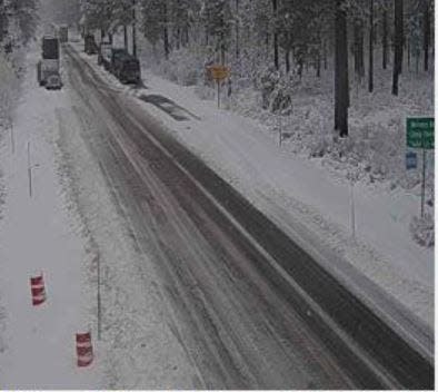
Snow tonight? For Portland metro and southwest Washington, the latest forecast snow totals range from a dusting to a couple inches. Plan for some extra morning commute time, and monitor local sources for any school impacts. #orwx#wawx#pdxtstpic.twitter.com/Ff8N4x8xec
— NWS Portland (@NWSPortland) January 9, 2024
Where will snow level drop to on Wednesday?
The Portland area, Columbia River Gorge and possibly the north coast could see the lowest elevation snow.
However, to the south, snow levels are expected to stay around 1,000 feet east and west of Salem and Eugene, which would mean snow in places like Mill City and Detroit, McKenzie Bridge and Oakridge.
What about snow later in the week?
The lower elevations of the Willamette Valley could get another shot at snow Friday night into Saturday, when snow levels are again forecast to drop within striking distance of the valley.
“By Friday night we’re going to have warmer air from the southwest and colder air from the north and east so we’re going to have to wait a little to see how that plays out,” Bryant said.
“It’s going to vary a lot. But right now we’re anticipating that everywhere south of Portland is just going to see rain.”
Massive amounts of snow in the Oregon mountains
While the snow might not show in the Willamette Valley, it’s forecast to pile up in massive amounts in the Oregon mountains. Driving is expected to be challenging above 1,500 feet for pretty much the entire week and into the weekend. Many high mountain roads were seeing whiteout conditions on Tuesday.
Bryant said between 4 to 8 feet of snow is forecast between Tuesday and Saturday at Cascade pass levels such as Santiam Pass, Willamette Pass and the Mount Hood area.
Heavy snow is expected on mountain roads every day this week, with the heaviest amounts falling Tuesday and Wednesday morning, and Thursday night into Friday.
The mountain snow finally begins to mellow out by Sunday and Monday, just in time to catch the last two days of the Martin Luther King Jr. Day holiday.
Bryant said temperatures should start to return to more normal levels around Tuesday and Wednesday next week.
Oregon's smaller ski areas announce openings
All four of Western Oregon's smaller and cheaper ski areas have announced that they will open this week.
Hoodoo Ski Area, east of Salem on Santiam Pass, and Willamette Pass Resort, southeast of Eugene off Highway 58, both said they would open Wednesday.
Mount Hood Skibowl, in Government Camp, and Mount Ashland in southern Oregon, announced they would open on Thursday.
The lower-elevation ski areas stayed closed for much of the year due to little snowfall. However, the current system of cool weather has brought 35 inches of snow already and another 4-8 feet of snow is forecast between Tuesday and Saturday.
Those planning to open join already operating Mount Hood Meadows, Mount Bachelor and Timberline Lodge.
But what about El Niño?
Forecasts called for a warmer winter than normal this year, so what happened?
“When we’re talking about El Niño, we’re talking about a seasonal impact,” Bryant said. “It doesn’t preclude a very active week like this. We’re looking at the overall temperatures, and for the winter they still have been well above normal. We really do need a week like this for snowpack, not just for winter recreation but also water supply for spring and summer.”
Zach Urness has been an outdoors reporter in Oregon for 15 years and is host of the Explore Oregon Podcast. Urness is the author of “Best Hikes with Kids: Oregon” and “Hiking Southern Oregon.” He can be reached at zurness@StatesmanJournal.com or (503) 399-6801. Find him on Twitter at @ZachsORoutdoors.
This article originally appeared on Salem Statesman Journal: Will Portland, Salem or Eugene see snow as blizzard hits Oregon slopes
