Sally strengthens to Category 2 hurricane as it heads to Gulf coast
Tropical Storm Sally strengthened Monday afternoon and was upgraded to a category 2 hurricane as it made its way across the Gulf of Mexico toward Mississippi and Alabama with 100 mph sustained winds.
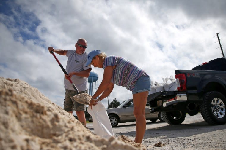
The storm is forecast to make landfall late Tuesday or Wednesday and bring life-threatening storm surges, strong winds and flash floods to the Northern Gulf Coast.
A hurricane warning is in effect from Morgan City, Louisiana, to Navarre, Florida. Alabama Gov. Kay Ivey ordered the state's beaches to close Monday afternoon in preparation for the storm.
"I urge everyone to tune in to their trusted weather source, and pay attention to your local officials for updates regarding your area as they make further recommendations based off the unique needs of your community," Ivey said.
The storm is currently seeing maximum sustained winds of 100 miles per hour, which are forecast to increase.
Louisiana Gov. John Bel Edwards declared a state of emergency Saturday. On Monday, the Hurricane Warning area included metropolitan New Orleans, Lake Pontchartrain and Lake Maurepas.
“While we ultimately don't know where Sally will make landfall, much of Southeast Louisiana is in the storm's cone and the risk of tropical storm force or hurricane strength winds continues to increase," Edwards said in a statement. “This storm has the potential to be very serious.”
Louisiana is still reeling from Hurricane Laura, which hit in late August as a Category 4 storm and destroyed much of Lake Charles. Electric services remain “severely limited” in much of the city, which is also under a boil advisory for water.
Tennessee authorities sent 35 members of various agencies to Louisiana to offer support to the weather battered state, including employees of the Metro Nashville Office of Emergency Management and Nashville Fire Department.
Sally is not expected to bring as intense surges and winds as Laura, but at the mouth of the Mississippi River, storm surges levels, which vary based on the tidal cycles, could reach as high as 11 feet.
“Overtopping of local levees outside of the Hurricane and Storm Damage Risk Reduction System is possible” in some areas, the National Hurricane Center said in its Monday forecast. “The deepest water will occur along the immediate coast in areas of onshore winds, where the surge will be accompanied by large and damaging waves.”
Sally will also bring heavy rain to parts of the Gulf Coast, the hurricane center said, averaging 8 to 16 inches of rain with some areas between the western Panhandle and the Central Gulf seeing as much as 24 inches.
“Life-threatening flash flooding is possible,” the center said. “In addition, this rainfall will likely lead to widespread minor to isolated major flooding on area rivers.”
